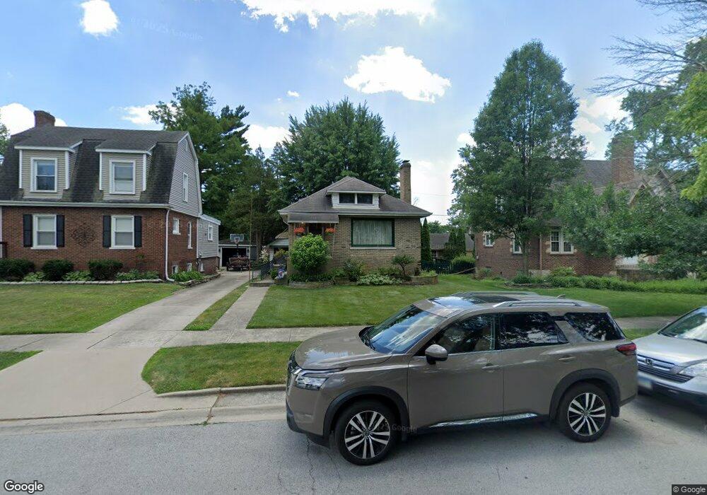
3241 Ann St Lansing, IL 60438
Estimated Value: $169,000 - $206,000
2
Beds
2
Baths
960
Sq Ft
$191/Sq Ft
Est. Value
About This Home
This home is located at 3241 Ann St, Lansing, IL 60438 and is currently estimated at $183,756, approximately $191 per square foot. 3241 Ann St is a home located in Cook County with nearby schools including Coolidge Elementary School, Memorial Jr High School, and Thornton Fractnl So High School.
Ownership History
Date
Name
Owned For
Owner Type
Purchase Details
Closed on
May 26, 2005
Sold by
Darragh David and Darragh Alicia
Bought by
Jabaay Barbara A
Current Estimated Value
Home Financials for this Owner
Home Financials are based on the most recent Mortgage that was taken out on this home.
Original Mortgage
$87,900
Outstanding Balance
$44,678
Interest Rate
5.75%
Mortgage Type
Fannie Mae Freddie Mac
Estimated Equity
$139,078
Purchase Details
Closed on
Jan 16, 2004
Sold by
Darragh David and Darragh Alicia
Bought by
Darragh David and Darragh Alicia
Create a Home Valuation Report for This Property
The Home Valuation Report is an in-depth analysis detailing your home's value as well as a comparison with similar homes in the area
Home Values in the Area
Average Home Value in this Area
Purchase History
| Date | Buyer | Sale Price | Title Company |
|---|---|---|---|
| Jabaay Barbara A | $110,000 | Attorneys Title Guaranty Fun | |
| Darragh David | -- | -- |
Source: Public Records
Mortgage History
| Date | Status | Borrower | Loan Amount |
|---|---|---|---|
| Open | Jabaay Barbara A | $87,900 |
Source: Public Records
Tax History
| Year | Tax Paid | Tax Assessment Tax Assessment Total Assessment is a certain percentage of the fair market value that is determined by local assessors to be the total taxable value of land and additions on the property. | Land | Improvement |
|---|---|---|---|---|
| 2025 | $5,169 | $14,001 | $3,438 | $10,563 |
| 2024 | $5,169 | $14,001 | $3,438 | $10,563 |
| 2023 | $5,192 | $14,001 | $3,438 | $10,563 |
| 2022 | $5,192 | $11,410 | $2,969 | $8,441 |
| 2021 | $5,107 | $11,409 | $2,968 | $8,441 |
| 2020 | $4,874 | $11,409 | $2,968 | $8,441 |
| 2019 | $3,105 | $8,884 | $2,500 | $6,384 |
| 2018 | $3,044 | $8,884 | $2,500 | $6,384 |
| 2017 | $3,108 | $8,884 | $2,500 | $6,384 |
| 2016 | $3,538 | $8,967 | $2,343 | $6,624 |
| 2015 | $3,223 | $8,967 | $2,343 | $6,624 |
| 2014 | $3,206 | $8,967 | $2,343 | $6,624 |
| 2013 | $3,488 | $10,375 | $2,343 | $8,032 |
Source: Public Records
Map
Nearby Homes
- 18324 Roy St
- 3316 Ann St
- 18315 Burnham Ave Unit 204
- 3310 186th St
- 18275 Ada St
- 18316 Sherman St
- 3225 Otto St
- 18301 Chicago Ave
- 18504 Wentworth Ave
- 18634 Bernadine St
- 18405 Wentworth Ave Unit 1D
- 18514 Ridgewood Ave
- 19510 Burnham Ave
- 18747 Sherman St
- 18215 Wentworth Ave Unit 3B
- 3640 186th St Unit 101
- 3620 186th St Unit 405
- 18828 Greenbay Ave
- 18158 Lange St
- 2914 Ridge Rd
Your Personal Tour Guide
Ask me questions while you tour the home.