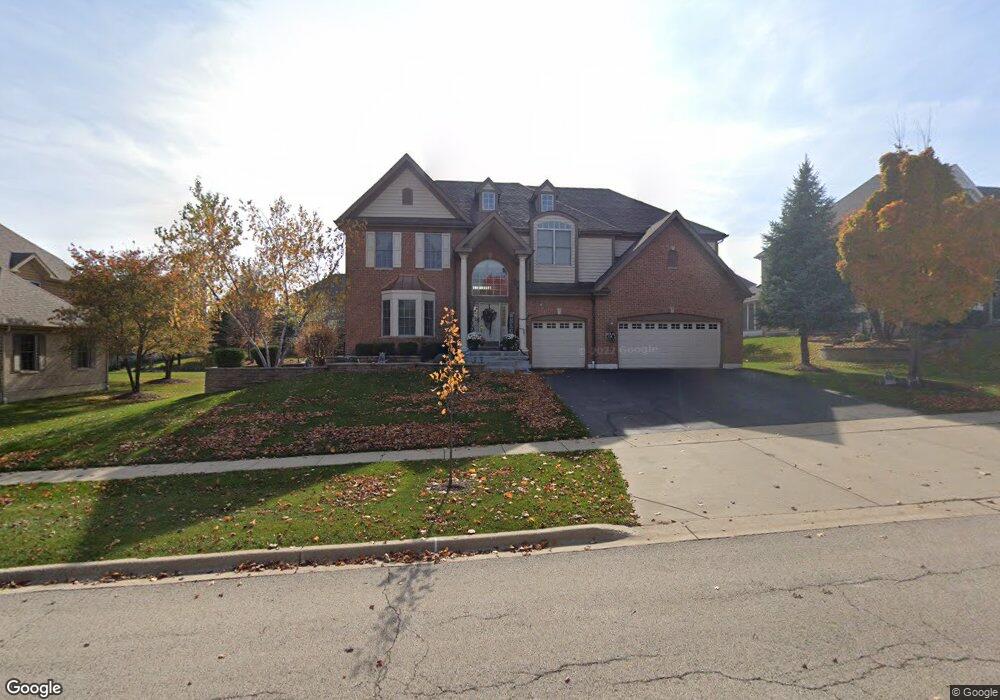
3241 Covington Ln Algonquin, IL 60102
Far West Algonquin NeighborhoodEstimated Value: $568,422 - $789,000
4
Beds
3
Baths
3,695
Sq Ft
$185/Sq Ft
Est. Value
About This Home
This home is located at 3241 Covington Ln, Algonquin, IL 60102 and is currently estimated at $683,606, approximately $185 per square foot. 3241 Covington Ln is a home located in McHenry County with nearby schools including Westfield Community School, Lincoln Prairie Elementary School, and Harry D Jacobs High School.
Ownership History
Date
Name
Owned For
Owner Type
Purchase Details
Closed on
May 15, 2007
Sold by
Par Development Inc
Bought by
Kassim Irshad and Kassim Aneesa
Current Estimated Value
Home Financials for this Owner
Home Financials are based on the most recent Mortgage that was taken out on this home.
Original Mortgage
$480,000
Outstanding Balance
$289,251
Interest Rate
6%
Mortgage Type
Unknown
Estimated Equity
$394,355
Create a Home Valuation Report for This Property
The Home Valuation Report is an in-depth analysis detailing your home's value as well as a comparison with similar homes in the area
Home Values in the Area
Average Home Value in this Area
Purchase History
| Date | Buyer | Sale Price | Title Company |
|---|---|---|---|
| Kassim Irshad | $600,000 | Ct&T |
Source: Public Records
Mortgage History
| Date | Status | Borrower | Loan Amount |
|---|---|---|---|
| Open | Kassim Irshad | $480,000 |
Source: Public Records
Tax History
| Year | Tax Paid | Tax Assessment Tax Assessment Total Assessment is a certain percentage of the fair market value that is determined by local assessors to be the total taxable value of land and additions on the property. | Land | Improvement |
|---|---|---|---|---|
| 2024 | $12,716 | $170,557 | $23,137 | $147,420 |
| 2023 | $12,100 | $152,542 | $20,693 | $131,849 |
| 2022 | $11,730 | $142,784 | $26,058 | $116,726 |
| 2021 | $11,271 | $133,020 | $24,276 | $108,744 |
| 2020 | $10,983 | $128,311 | $23,417 | $104,894 |
| 2019 | $10,726 | $122,809 | $22,413 | $100,396 |
| 2018 | $14,171 | $154,669 | $20,705 | $133,964 |
| 2017 | $13,912 | $145,708 | $19,505 | $126,203 |
| 2016 | $13,740 | $136,661 | $18,294 | $118,367 |
| 2013 | -- | $124,992 | $17,066 | $107,926 |
Source: Public Records
Map
Nearby Homes
- 3260 Nottingham Dr
- 16 Springbrook Ln
- 4 Greenbrier Ct
- 531 Alpine Dr
- 432 Thunder Ridge
- 4241 Wanderlust Dr
- 601 Woods Creek Ln
- 940 Treeline Dr
- 3610 Lakeview Dr
- 610 Juniper Ln
- 4051 Willow View Dr
- 305 Harvest Gate
- 3 Barton Creek Ct
- 6 Sherwood Ct
- 675 White Pine Cir
- 2660 Harnish Dr
- 6 Sugar Maple Ct
- 74 Harvest Gate
- 3650 Wintergreen Terrace
- 1183 Moonstone Run
- 3251 Covington Ln
- 3231 Covington Ln
- 3250 Nottingham Dr
- 3240 Nottingham Dr
- 3221 Covington Ln
- 3261 Covington Ln
- 3230 Nottingham Dr
- 46 Sandstone Ct
- 3271 Covington Ln
- Lot 26 Covington Ln
- 3270 Nottingham Dr
- 3220 Nottingham Dr
- Lot 32 Nottingham Dr
- 3251 Nottingham Dr
- 3301 Sandstone Ct
- 3241 Nottingham Dr
- 3261 Nottingham Dr
- 3231 Nottingham Dr
- 3221 Nottingham Dr
- 3250 Covington Ln
Your Personal Tour Guide
Ask me questions while you tour the home.