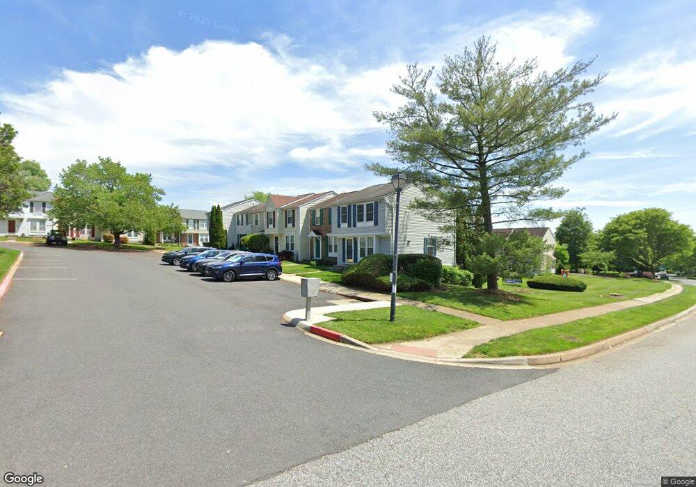
3241 Uniontown Way Abingdon, MD 21009
Estimated Value: $249,405 - $308,000
--
Bed
2
Baths
1,120
Sq Ft
$249/Sq Ft
Est. Value
About This Home
This home is located at 3241 Uniontown Way, Abingdon, MD 21009 and is currently estimated at $279,351, approximately $249 per square foot. 3241 Uniontown Way is a home located in Harford County with nearby schools including Abingdon Elementary School, Edgewood Middle School, and Edgewood High School.
Ownership History
Date
Name
Owned For
Owner Type
Purchase Details
Closed on
Dec 11, 2000
Sold by
Phillips Douglas T
Bought by
Gray Lauren M
Current Estimated Value
Purchase Details
Closed on
Feb 19, 1992
Sold by
Ryland Group Inc The
Bought by
Phillips Douglas T
Home Financials for this Owner
Home Financials are based on the most recent Mortgage that was taken out on this home.
Original Mortgage
$99,180
Interest Rate
8.73%
Purchase Details
Closed on
Oct 20, 1987
Sold by
Constant Friendship Inc
Bought by
Ryland Group Inc The
Create a Home Valuation Report for This Property
The Home Valuation Report is an in-depth analysis detailing your home's value as well as a comparison with similar homes in the area
Home Values in the Area
Average Home Value in this Area
Purchase History
| Date | Buyer | Sale Price | Title Company |
|---|---|---|---|
| Gray Lauren M | $92,600 | -- | |
| Phillips Douglas T | $98,500 | -- | |
| Ryland Group Inc The | $19,000 | -- |
Source: Public Records
Mortgage History
| Date | Status | Borrower | Loan Amount |
|---|---|---|---|
| Previous Owner | Phillips Douglas T | $99,180 | |
| Closed | Gray Lauren M | -- |
Source: Public Records
Tax History Compared to Growth
Tax History
| Year | Tax Paid | Tax Assessment Tax Assessment Total Assessment is a certain percentage of the fair market value that is determined by local assessors to be the total taxable value of land and additions on the property. | Land | Improvement |
|---|---|---|---|---|
| 2025 | $2,020 | $200,000 | $0 | $0 |
| 2024 | $2,020 | $188,100 | $0 | $0 |
| 2023 | $1,920 | $176,200 | $58,000 | $118,200 |
| 2022 | $1,878 | $172,267 | $0 | $0 |
| 2021 | $1,897 | $168,333 | $0 | $0 |
| 2020 | $1,897 | $164,400 | $58,000 | $106,400 |
| 2019 | $1,872 | $162,200 | $0 | $0 |
| 2018 | $1,830 | $160,000 | $0 | $0 |
| 2017 | $1,805 | $157,800 | $0 | $0 |
| 2016 | -- | $156,767 | $0 | $0 |
| 2015 | $1,997 | $155,733 | $0 | $0 |
| 2014 | $1,997 | $154,700 | $0 | $0 |
Source: Public Records
Map
Nearby Homes
- 3363 Garrison Cir
- 322 Delmar Ct
- 3329 Betterton Cir
- 329 Sunray Ct
- 339 Overlea Place
- 322 Overlea Place
- 221 Glen View Terrace
- 3110 Tipton Way
- 310 Talbot Ct
- 203 Star Pointe Ct Unit 2C
- 203 Star Pointe Ct Unit 3C
- 201 Star Pointe Ct Unit 1A
- 213 High Meadow Terrace
- 3202 Uppercoe Ct
- 3500 Thomas Pointe Ct Unit 2B
- 627 Stone Mill Ct
- 3026 Cascade Dr
- 634 Nanticoke Ct
- 3506 Back Pointe Ct Unit 3D
- 625 N Branch Ct
- 3239 Uniontown Way
- 3237 Uniontown Way
- 3235 Uniontown Way
- 3233 Uniontown Way
- 3301 Betterton Cir
- 3303 Betterton Cir
- 3305 Betterton Cir
- 3307 Betterton Cir
- 3309 Betterton Cir
- 3311 Betterton Cir
- 3333 Garrison Cir
- 3315 Betterton Cir
- 3231 Uniontown Way
- 3229 Uniontown Way
- 3317 Betterton Cir
- 3227 Uniontown Way
- 3335 Garrison Cir
- 3225 Uniontown Way
- 3223 Uniontown Way
- 3337 Garrison Cir