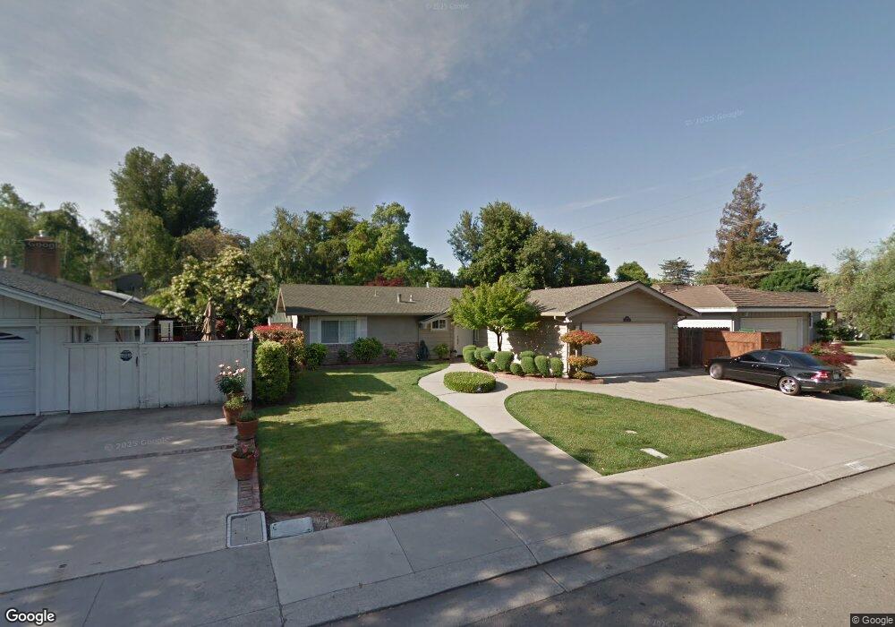
3244 W Swain Rd Stockton, CA 95219
Lincoln Village West NeighborhoodEstimated Value: $391,067 - $464,000
3
Beds
2
Baths
1,264
Sq Ft
$343/Sq Ft
Est. Value
About This Home
This home is located at 3244 W Swain Rd, Stockton, CA 95219 and is currently estimated at $433,517, approximately $342 per square foot. 3244 W Swain Rd is a home located in San Joaquin County with nearby schools including Tully C. Knoles School, Sierra Middle School, and Lincoln High School.
Ownership History
Date
Name
Owned For
Owner Type
Purchase Details
Closed on
Sep 14, 2005
Sold by
Mikawa Victor S and Mikawa Sherry L
Bought by
Mikawa Victor and Mikawa Sherry L
Current Estimated Value
Purchase Details
Closed on
May 12, 2005
Sold by
Mikawa Victor and Mikawa Sherry
Bought by
Mikawa Victor and Mikawa Sherry L
Create a Home Valuation Report for This Property
The Home Valuation Report is an in-depth analysis detailing your home's value as well as a comparison with similar homes in the area
Home Values in the Area
Average Home Value in this Area
Purchase History
| Date | Buyer | Sale Price | Title Company |
|---|---|---|---|
| Mikawa Victor | -- | Chicago Title Co | |
| Mikawa Victor | -- | -- |
Source: Public Records
Tax History Compared to Growth
Tax History
| Year | Tax Paid | Tax Assessment Tax Assessment Total Assessment is a certain percentage of the fair market value that is determined by local assessors to be the total taxable value of land and additions on the property. | Land | Improvement |
|---|---|---|---|---|
| 2025 | $2,340 | $168,833 | $87,832 | $81,001 |
| 2024 | $2,293 | $165,523 | $86,110 | $79,413 |
| 2023 | $2,293 | $162,278 | $84,422 | $77,856 |
| 2022 | $2,028 | $159,097 | $82,767 | $76,330 |
| 2021 | $2,003 | $155,979 | $81,145 | $74,834 |
| 2020 | $2,002 | $154,380 | $80,313 | $74,067 |
| 2019 | $1,973 | $151,354 | $78,739 | $72,615 |
| 2018 | $1,936 | $148,388 | $77,196 | $71,192 |
| 2017 | $1,900 | $145,480 | $75,683 | $69,797 |
| 2016 | $1,881 | $142,629 | $74,200 | $68,429 |
| 2014 | $1,841 | $137,735 | $71,654 | $66,081 |
Source: Public Records
Map
Nearby Homes
- 3216 Polk Way
- 6123 Cumberland Place
- 6078 Carolina Cir
- 3102 W Swain Rd
- 3115 Polk Way
- 5833 Morgan Place Unit 60
- 6406 Grigsby Place
- 5815 Morgan Place Unit 18
- 3533 Harpers Ferry Dr
- 2935 Prentiss Ct Unit 1844
- 2922 Prentiss Ct
- 2921 Rutledge Ct
- 2913 Prentiss Ct
- 2914 Prentiss Ct
- 6415 Plymouth Rd
- 3827 Fourteen Mile Dr
- 3708 N Merrimac Cir
- 3864 Fourteen Mile Dr
- 6439 Brook Hollow Cir
- 6472 Brook Hollow Cir
- 6049 Halleck Place
- 3248 W Swain Rd
- 6029 Halleck Place
- 6025 Halleck Place
- 3331 Meade Dr
- 3304 W Swain Rd
- 3245 W Swain Rd
- 3243 W Swain Rd
- 3343 Meade Dr
- 3319 Meade Dr
- 6048 Halleck Place
- 3305 Meade Dr
- 6116 Herndon Place
- 6032 Halleck Place
- 3310 W Swain Rd
- 6026 Halleck Place
- 3409 Meade Dr
- 6024 Halleck Place
- 3311 W Swain Rd
- 3208 W Swain Rd