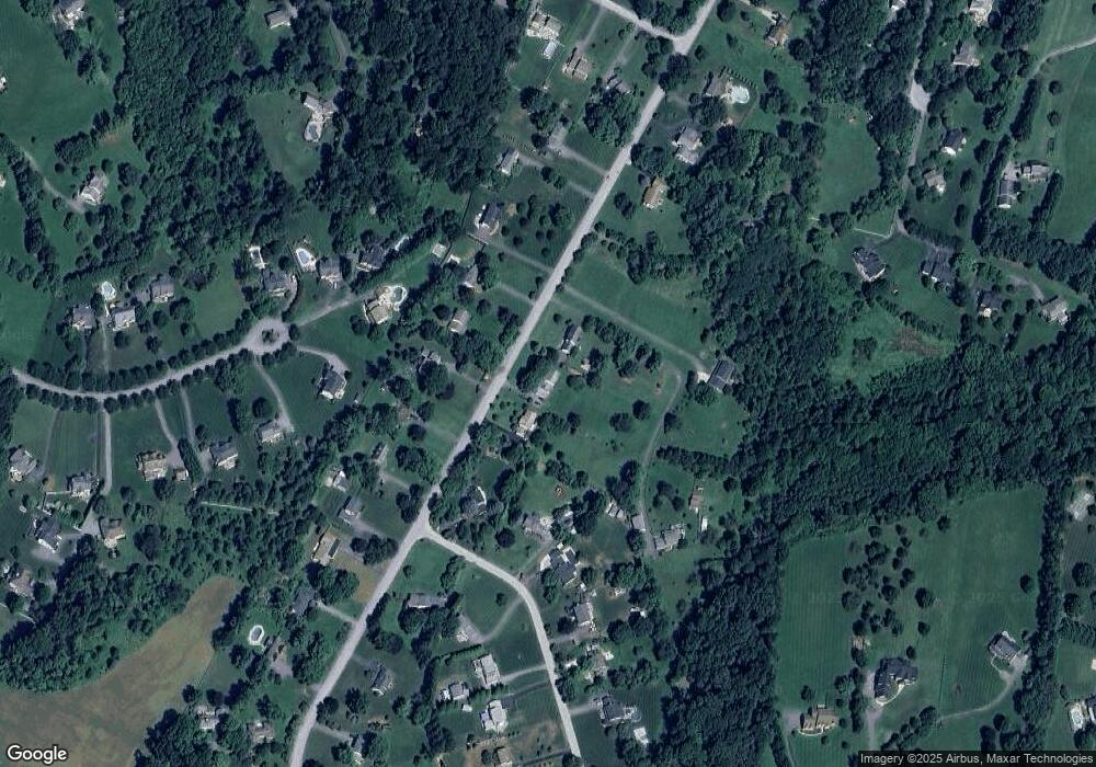
3245 Sharp Rd Glenwood, MD 21738
Estimated Value: $689,404 - $802,000
--
Bed
3
Baths
2,125
Sq Ft
$354/Sq Ft
Est. Value
About This Home
This home is located at 3245 Sharp Rd, Glenwood, MD 21738 and is currently estimated at $751,601, approximately $353 per square foot. 3245 Sharp Rd is a home located in Howard County with nearby schools including Bushy Park Elementary School, Folly Quarter Middle School, and Glenelg High School.
Ownership History
Date
Name
Owned For
Owner Type
Purchase Details
Closed on
Oct 14, 2024
Sold by
Osborne James Edward and Osborne Maureen Mccormick
Bought by
James And Maureen Osborne Revocable Trust
Current Estimated Value
Purchase Details
Closed on
Aug 2, 1994
Sold by
Ferns J W
Bought by
Osborne James
Home Financials for this Owner
Home Financials are based on the most recent Mortgage that was taken out on this home.
Original Mortgage
$232,650
Interest Rate
8.25%
Purchase Details
Closed on
Jun 25, 1985
Sold by
King Richard M
Bought by
Ferris James Wesley
Home Financials for this Owner
Home Financials are based on the most recent Mortgage that was taken out on this home.
Original Mortgage
$100,000
Interest Rate
12.05%
Create a Home Valuation Report for This Property
The Home Valuation Report is an in-depth analysis detailing your home's value as well as a comparison with similar homes in the area
Home Values in the Area
Average Home Value in this Area
Purchase History
| Date | Buyer | Sale Price | Title Company |
|---|---|---|---|
| James And Maureen Osborne Revocable Trust | -- | None Listed On Document | |
| James And Maureen Osborne Revocable Trust | -- | None Listed On Document | |
| Osborne James | $258,500 | -- | |
| Ferris James Wesley | $139,000 | -- |
Source: Public Records
Mortgage History
| Date | Status | Borrower | Loan Amount |
|---|---|---|---|
| Previous Owner | Osborne James | $232,650 | |
| Previous Owner | Ferris James Wesley | $100,000 |
Source: Public Records
Tax History Compared to Growth
Tax History
| Year | Tax Paid | Tax Assessment Tax Assessment Total Assessment is a certain percentage of the fair market value that is determined by local assessors to be the total taxable value of land and additions on the property. | Land | Improvement |
|---|---|---|---|---|
| 2025 | $7,291 | $622,100 | $294,600 | $327,500 |
| 2024 | $7,291 | $561,300 | $0 | $0 |
| 2023 | $6,789 | $500,500 | $0 | $0 |
| 2022 | $6,426 | $439,700 | $219,600 | $220,100 |
| 2021 | $6,426 | $439,700 | $219,600 | $220,100 |
| 2020 | $6,426 | $439,700 | $219,600 | $220,100 |
| 2019 | $6,747 | $463,300 | $215,800 | $247,500 |
| 2018 | $6,314 | $457,267 | $0 | $0 |
| 2017 | $6,212 | $463,300 | $0 | $0 |
| 2016 | -- | $445,200 | $0 | $0 |
| 2015 | -- | $431,167 | $0 | $0 |
| 2014 | -- | $417,133 | $0 | $0 |
Source: Public Records
Map
Nearby Homes
- 3302 Sang Rd
- 2860 Pfefferkorn Rd
- 3315 Sharp Ct
- 3372 Danmark Dr
- 13615 Fox Stream Way
- 3004 Skye Meadow Way
- 3574 Sharp Rd
- 2509 Hobbs Rd
- 2935 Route 97
- 3694 Appleby Ct
- 2925 Route 97
- 13531 Julia Manor Way
- 2934 Route 97
- 3109 Fox Valley Dr
- 3131 River Valley Chase
- 2328 Mckendree Rd
- 2669 Roxbury Mills Rd
- 14021 Triadelphia Rd
- 14408 Dorsey Mill Rd
- 13261 Hunt Ridge Rd
