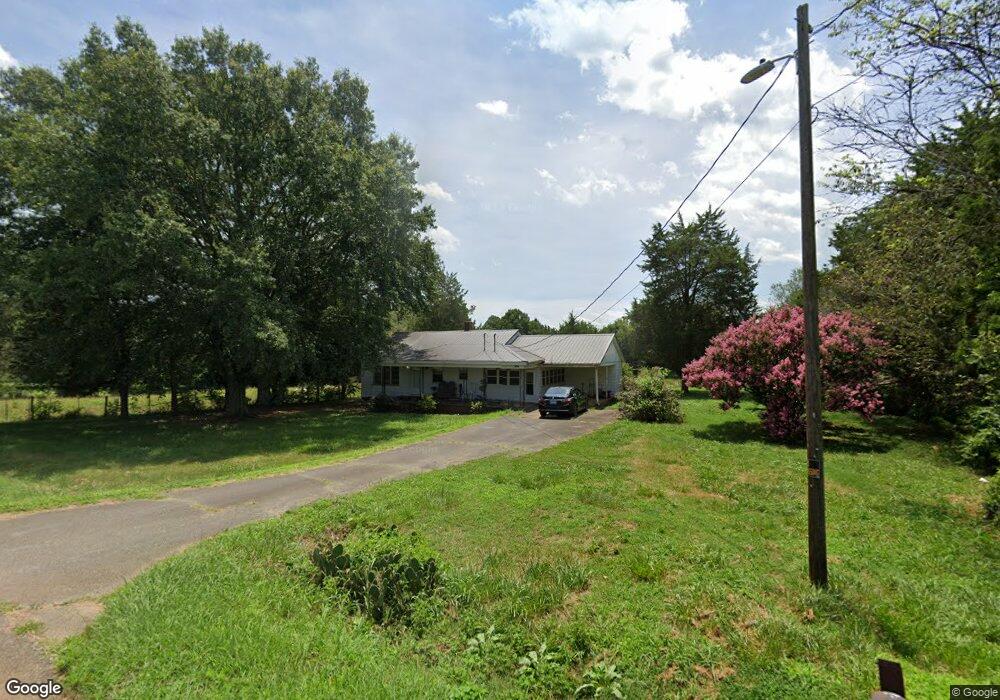
3247 Harmon Rd Lincolnton, NC 28092
Estimated Value: $169,000 - $227,000
3
Beds
1
Bath
1,156
Sq Ft
$173/Sq Ft
Est. Value
About This Home
This home is located at 3247 Harmon Rd, Lincolnton, NC 28092 and is currently estimated at $200,331, approximately $173 per square foot. 3247 Harmon Rd is a home located in Lincoln County with nearby schools including Norris S. Childers Elementary School, West Lincoln Middle, and West Lincoln High School.
Ownership History
Date
Name
Owned For
Owner Type
Purchase Details
Closed on
Apr 24, 2025
Sold by
Richards Vickie Sain
Bought by
Richards Vickie Sain
Current Estimated Value
Home Financials for this Owner
Home Financials are based on the most recent Mortgage that was taken out on this home.
Original Mortgage
$54,000
Outstanding Balance
$53,760
Interest Rate
6.65%
Mortgage Type
New Conventional
Estimated Equity
$146,571
Create a Home Valuation Report for This Property
The Home Valuation Report is an in-depth analysis detailing your home's value as well as a comparison with similar homes in the area
Home Values in the Area
Average Home Value in this Area
Purchase History
| Date | Buyer | Sale Price | Title Company |
|---|---|---|---|
| Richards Vickie Sain | -- | None Listed On Document | |
| Richards Vickie Sain | -- | None Listed On Document |
Source: Public Records
Mortgage History
| Date | Status | Borrower | Loan Amount |
|---|---|---|---|
| Open | Richards Vickie Sain | $54,000 | |
| Closed | Richards Vickie Sain | $54,000 |
Source: Public Records
Tax History Compared to Growth
Tax History
| Year | Tax Paid | Tax Assessment Tax Assessment Total Assessment is a certain percentage of the fair market value that is determined by local assessors to be the total taxable value of land and additions on the property. | Land | Improvement |
|---|---|---|---|---|
| 2025 | $842 | $110,629 | $33,422 | $77,207 |
| 2024 | $822 | $110,629 | $33,422 | $77,207 |
| 2023 | $817 | $110,629 | $33,422 | $77,207 |
| 2022 | $638 | $69,290 | $27,461 | $41,829 |
| 2021 | $638 | $69,290 | $27,461 | $41,829 |
| 2020 | $509 | $69,290 | $27,461 | $41,829 |
| 2019 | $509 | $69,290 | $27,461 | $41,829 |
| 2018 | $559 | $62,438 | $25,269 | $37,169 |
| 2017 | $458 | $62,438 | $25,269 | $37,169 |
| 2016 | $458 | $62,438 | $25,269 | $37,169 |
| 2015 | $533 | $62,438 | $25,269 | $37,169 |
| 2014 | $567 | $68,835 | $27,089 | $41,746 |
Source: Public Records
Map
Nearby Homes
- 1000 Creekside Dr
- 1084 Lyndsey Brook Ct
- 938 Lyndsey Brook Ct
- 1074 Lyndsey Brook Ct
- 2383 N Carolina 182
- 3103 Richview Dr
- 142 Alf Hoover Rd
- 1357 Malden Ct
- 963 Sunbeam Dr
- 2508 Rock Dam Rd
- 1495 Leonards Fork Church Rd
- 2700 Moose Gantt Trail
- 3300 Paul Heavner Ln
- 00 George Brown Rd Unit 10
- 00 George Brown Rd Unit 9
- 00 George Brown Rd Unit 8
- 00 George Brown Rd Unit 7
- 00 George Brown Rd Unit 6
- 00 George Brown Rd Unit 5
- 00 George Brown Rd Unit 4