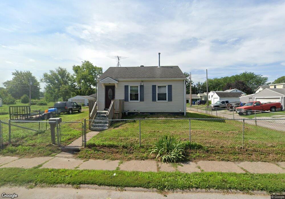
3247 Sunnyside Ave Davenport, IA 52802
West End NeighborhoodEstimated Value: $75,000 - $92,000
2
Beds
1
Bath
600
Sq Ft
$145/Sq Ft
Est. Value
About This Home
This home is located at 3247 Sunnyside Ave, Davenport, IA 52802 and is currently estimated at $87,230, approximately $145 per square foot. 3247 Sunnyside Ave is a home located in Scott County with nearby schools including Walnut Hill Elementary School, Frank L. Smart Intermediate School, and West High School.
Ownership History
Date
Name
Owned For
Owner Type
Purchase Details
Closed on
Apr 18, 2017
Sold by
Federal Home Loan Mortgage Corporation
Bought by
First Financial Group Lc
Current Estimated Value
Purchase Details
Closed on
May 27, 2005
Sold by
Fields Rebecca S and Fields Thomas
Bought by
Benes Danial S
Home Financials for this Owner
Home Financials are based on the most recent Mortgage that was taken out on this home.
Original Mortgage
$38,800
Interest Rate
5.91%
Mortgage Type
New Conventional
Create a Home Valuation Report for This Property
The Home Valuation Report is an in-depth analysis detailing your home's value as well as a comparison with similar homes in the area
Home Values in the Area
Average Home Value in this Area
Purchase History
| Date | Buyer | Sale Price | Title Company |
|---|---|---|---|
| First Financial Group Lc | $16,703 | None Available | |
| Benes Danial S | $48,500 | None Available |
Source: Public Records
Mortgage History
| Date | Status | Borrower | Loan Amount |
|---|---|---|---|
| Previous Owner | Benes Danial S | $38,800 |
Source: Public Records
Tax History Compared to Growth
Tax History
| Year | Tax Paid | Tax Assessment Tax Assessment Total Assessment is a certain percentage of the fair market value that is determined by local assessors to be the total taxable value of land and additions on the property. | Land | Improvement |
|---|---|---|---|---|
| 2025 | $1,348 | $75,450 | $13,130 | $62,320 |
| 2024 | $1,316 | $75,450 | $13,130 | $62,320 |
| 2023 | $1,300 | $75,450 | $13,130 | $62,320 |
| 2022 | $1,306 | $60,820 | $10,510 | $50,310 |
| 2021 | $1,306 | $60,830 | $10,510 | $50,320 |
| 2020 | $1,258 | $57,870 | $10,510 | $47,360 |
| 2019 | $1,298 | $57,870 | $10,510 | $47,360 |
| 2018 | $1,270 | $57,870 | $10,510 | $47,360 |
| 2017 | $322 | $57,870 | $10,510 | $47,360 |
| 2016 | $1,076 | $57,870 | $0 | $0 |
| 2015 | $1,076 | $54,900 | $0 | $0 |
| 2014 | $1,026 | $54,900 | $0 | $0 |
| 2013 | $1,004 | $0 | $0 | $0 |
| 2012 | -- | $54,800 | $11,660 | $43,140 |
Source: Public Records
Map
Nearby Homes
- 3228 Sunnyside Ave
- 3207 Homestead Ave
- 3412 Michigan
- 1109 S Michigan Ave
- 815 S Dittmer St
- 2736 Rockingham Rd
- 3154 Diehn Ave
- 520 S Clark St
- 2707 Jackson Ave
- 2537 Boies Ave
- 2614 Mckinley Ave
- 2502 Rockingham Rd
- 3011 Telegraph Rd
- 2639 Whitewood Ave
- 125 S Birchwood Ave
- 3139 W 1st St
- 223 S Lincoln Ave
- 131 S Lincoln Ave
- 124 N Elmwood Ave
- 2312 W 1st St
- 1407 S Concord St
- 1411 S Concord St
- 1403 S Concord St
- 1415 S Concord St
- 3248 Keota Ave
- 3246 Sunnyside Ave
- 1325 S Concord St
- 3240 Keota Ave
- 1419 S Concord St
- 3242 Sunnyside Ave
- 3231 Sunnyside Ave
- 1319 S Concord St
- 1425 S Concord St
- 3236 Sunnyside Ave
- 3227 Sunnyside Ave
- 3232 Sunnyside Ave
- 1315 S Concord St
- 3223 Sunnyside Ave
- 1311 S Concord St
- 1503 S Concord St