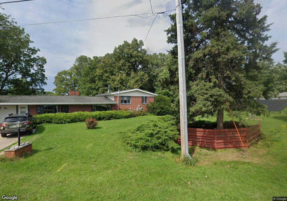
325 1st East St Maynard, IA 50655
Estimated Value: $178,000 - $225,000
3
Beds
3
Baths
1,726
Sq Ft
$117/Sq Ft
Est. Value
About This Home
This home is located at 325 1st East St, Maynard, IA 50655 and is currently estimated at $201,877, approximately $116 per square foot. 325 1st East St is a home located in Fayette County with nearby schools including West Central Community School and West Central Charter High School.
Ownership History
Date
Name
Owned For
Owner Type
Purchase Details
Closed on
Apr 9, 2020
Sold by
Schlegel Vera Jean
Bought by
Boss Claudia J and Boss William J
Current Estimated Value
Home Financials for this Owner
Home Financials are based on the most recent Mortgage that was taken out on this home.
Original Mortgage
$110,080
Outstanding Balance
$97,882
Interest Rate
3.6%
Mortgage Type
New Conventional
Estimated Equity
$103,995
Create a Home Valuation Report for This Property
The Home Valuation Report is an in-depth analysis detailing your home's value as well as a comparison with similar homes in the area
Home Values in the Area
Average Home Value in this Area
Purchase History
| Date | Buyer | Sale Price | Title Company |
|---|---|---|---|
| Boss Claudia J | $138,000 | None Available |
Source: Public Records
Mortgage History
| Date | Status | Borrower | Loan Amount |
|---|---|---|---|
| Open | Boss Claudia J | $110,080 |
Source: Public Records
Tax History Compared to Growth
Tax History
| Year | Tax Paid | Tax Assessment Tax Assessment Total Assessment is a certain percentage of the fair market value that is determined by local assessors to be the total taxable value of land and additions on the property. | Land | Improvement |
|---|---|---|---|---|
| 2025 | $2,478 | $194,600 | $18,190 | $176,410 |
| 2024 | $2,478 | $171,030 | $18,190 | $152,840 |
| 2023 | $2,468 | $171,030 | $18,190 | $152,840 |
| 2022 | $2,404 | $135,020 | $15,160 | $119,860 |
| 2021 | $2,404 | $135,020 | $15,160 | $119,860 |
| 2020 | $2,946 | $150,450 | $26,100 | $124,350 |
| 2019 | $2,440 | $128,030 | $0 | $0 |
| 2018 | $2,480 | $128,030 | $0 | $0 |
| 2017 | $2,210 | $106,420 | $0 | $0 |
| 2016 | $2,128 | $106,420 | $0 | $0 |
| 2015 | $2,128 | $0 | $0 | $0 |
| 2014 | $1,968 | $0 | $0 | $0 |
Source: Public Records
Map
Nearby Homes
- 325 1st St E
- 320 1st East St
- 315 2nd East St
- 85 Long Grove St
- 105 Long Grove St
- 335 2nd East St
- 355 2nd East St
- 65 Long Grove St
- 320 1st St N
- 255 Oak St
- 100 Long Grove St
- 25 Long Grove St
- 210 Park St
- 265 Clover St
- 70 Long Grove St
- 215 Long Grove St
- 30 Long Grove St
- 245 Clover St
- 220 Long Grove St
- 235 Long Grove St