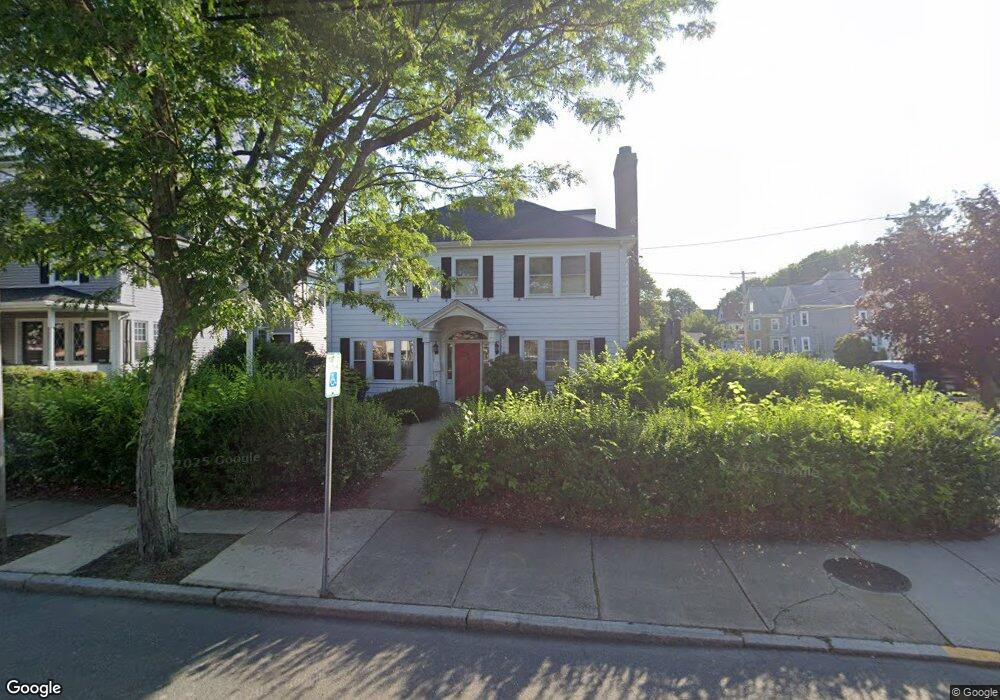
325 Central St Saugus, MA 01906
Downtown Saugus NeighborhoodEstimated Value: $1,243,696
Studio
3
Baths
5,121
Sq Ft
$243/Sq Ft
Est. Value
About This Home
This home is located at 325 Central St, Saugus, MA 01906 and is currently estimated at $1,243,696, approximately $242 per square foot. 325 Central St is a home located in Essex County with nearby schools including Saugus High School, Pioneer Charter School Of Science II, and Sacred Heart School.
Ownership History
Date
Name
Owned For
Owner Type
Purchase Details
Closed on
Feb 23, 2018
Sold by
Gregson Linda
Bought by
Ldg Rt and Gregson
Current Estimated Value
Purchase Details
Closed on
Aug 31, 2017
Sold by
325 Central Street T and Gregson
Bought by
Gregson Linda
Create a Home Valuation Report for This Property
The Home Valuation Report is an in-depth analysis detailing your home's value as well as a comparison with similar homes in the area
Home Values in the Area
Average Home Value in this Area
Purchase History
| Date | Buyer | Sale Price | Title Company |
|---|---|---|---|
| Ldg Rt | -- | -- | |
| Ldg Rt | -- | -- | |
| Gregson Linda | -- | None Available | |
| Gregson Linda | -- | None Available |
Source: Public Records
Mortgage History
| Date | Status | Borrower | Loan Amount |
|---|---|---|---|
| Previous Owner | Ldg Rt | $150,000 | |
| Previous Owner | Ldg Rt | $200,000 |
Source: Public Records
Tax History
| Year | Tax Paid | Tax Assessment Tax Assessment Total Assessment is a certain percentage of the fair market value that is determined by local assessors to be the total taxable value of land and additions on the property. | Land | Improvement |
|---|---|---|---|---|
| 2025 | $17,550 | $799,200 | $403,700 | $395,500 |
| 2024 | $17,009 | $771,400 | $389,500 | $381,900 |
| 2023 | $16,597 | $711,100 | $354,100 | $357,000 |
| 2022 | $15,728 | $632,400 | $311,600 | $320,800 |
| 2021 | $15,380 | $597,500 | $297,500 | $300,000 |
| 2020 | $14,294 | $569,500 | $269,500 | $300,000 |
| 2019 | $12,380 | $480,200 | $210,200 | $270,000 |
| 2018 | $11,457 | $466,100 | $202,100 | $264,000 |
| 2017 | $10,549 | $409,200 | $157,900 | $251,300 |
| 2016 | $10,848 | $409,200 | $157,900 | $251,300 |
| 2015 | $10,942 | $409,200 | $157,900 | $251,300 |
| 2014 | $10,484 | $409,200 | $157,900 | $251,300 |
Source: Public Records
Map
Nearby Homes
- 325 Central St Unit 1
- 325 Central St Unit 2
- 321 Central St
- 5 Emory St
- 329 Central St
- 329 Central St Unit 2
- 1 Emory Ct
- 319 Central St
- 5 Emory Ct
- 320 Central St
- 316 Central St Unit 3A (Left)
- 316 Central St Unit 3C (Right)
- 316 Central St
- 9 Emory St
- 333 Central St Unit 3H
- 333 Central St Unit 3G
- 333 Central St Unit 3F
- 333 Central St Unit 3E
- 333 Central St Unit 3D
- 333 Central St Unit 3C
Your Personal Tour Guide
Ask me questions while you tour the home.