325 Dearborn River Rd Cascade, MT 59421
Estimated Value: $349,000 - $390,000
3
Beds
1
Bath
1,256
Sq Ft
$289/Sq Ft
Est. Value
About This Home
This home is located at 325 Dearborn River Rd, Cascade, MT 59421 and is currently estimated at $363,210, approximately $289 per square foot. 325 Dearborn River Rd is a home located in Cascade County with nearby schools including Cascade School, Cascade Junior High School, and Cascade High School.
Ownership History
Date
Name
Owned For
Owner Type
Purchase Details
Closed on
Oct 21, 2011
Sold by
Davis James H
Bought by
Bush Steve and Bush Cindy
Current Estimated Value
Purchase Details
Closed on
Jan 31, 2011
Sold by
Tungsten Holdings Inc
Bought by
Bush Steve and Bush Cindy
Purchase Details
Closed on
Jan 6, 2011
Sold by
Brown Laura
Bought by
Tungsten Holdings Inc
Purchase Details
Closed on
Sep 10, 2010
Sold by
Brown Laura
Bought by
Bush Steve and Bush Cindy
Purchase Details
Closed on
Aug 19, 2010
Sold by
Brown Laura
Bought by
Brown Laura and Owen Dawn S Kate
Create a Home Valuation Report for This Property
The Home Valuation Report is an in-depth analysis detailing your home's value as well as a comparison with similar homes in the area
Purchase History
| Date | Buyer | Sale Price | Title Company |
|---|---|---|---|
| Bush Steve | -- | None Available | |
| Davis James H | -- | Stewart Title | |
| Bush Steve | -- | None Available | |
| Tungsten Holdings Inc | -- | None Available | |
| Bush Steve | -- | None Available | |
| Brown Laura | -- | None Available |
Source: Public Records
Tax History
| Year | Tax Paid | Tax Assessment Tax Assessment Total Assessment is a certain percentage of the fair market value that is determined by local assessors to be the total taxable value of land and additions on the property. | Land | Improvement |
|---|---|---|---|---|
| 2025 | $1,539 | $295,810 | $0 | $0 |
| 2024 | $1,820 | $235,090 | $0 | $0 |
| 2023 | $1,751 | $235,090 | $0 | $0 |
| 2022 | $1,307 | $150,040 | $0 | $0 |
| 2021 | $1,059 | $150,040 | $0 | $0 |
| 2020 | $1,399 | $154,400 | $0 | $0 |
| 2019 | $1,481 | $154,400 | $0 | $0 |
| 2018 | $1,340 | $132,970 | $0 | $0 |
| 2017 | $1,422 | $132,970 | $0 | $0 |
| 2016 | $1,287 | $127,890 | $0 | $0 |
| 2015 | $944 | $121,100 | $0 | $0 |
| 2014 | $952 | $52,841 | $0 | $0 |
Source: Public Records
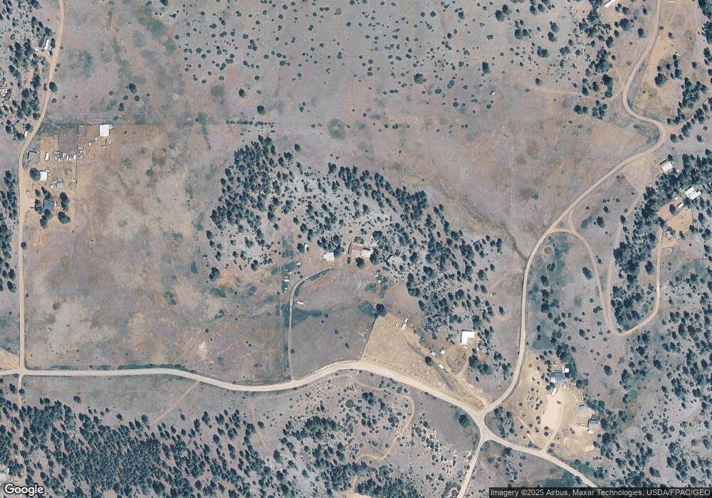
Map
Nearby Homes
- 0 Mountain Home Ln Unit 16921312
- Tbd Mountain Home Ln
- 0 Tbd Ridge Crest Ln
- TBD Ridge Crest Ln
- 20 Eagle Rock Ln
- Nhn Sugarloaf Mountain Ln
- 50 Overlook Ln
- Tbd Powerline Rd
- 64 Bluebird Dr
- NHN Big Pine Ln
- 7 Meadow Ln
- 153 Cooper Dr
- Lot 49 Cooper Valley Estates
- 24 Golden Eagle Dr
- 00 Box Canyon Ln
- 0 Box Canyon Ln Unit 23-64
- 0 Box Caynon Ln Unit 338253
- 18 Trail End Ln
- 256 Cooper Dr
- 29 River Dr
- 325 Dearborn River Rd Unit MK 13A
- 309 Dearborn River Rd
- 565 Sugarloaf Mountain Ln
- 303 Dearborn River Rd
- 10 Shoquist Park Ln
- 11 Gunsight Ln
- 552 Sugarloaf Mountain Ln
- 332 Dearborn River Rd
- 6 Mountain Home Ln
- 351 Dearborn River Rd
- 0 Gunsight Ln Unit 3110641
- 0 Gunsight Ln Unit 3090486
- 0 Gunsight Ln Unit 21917376
- 0 Gunsight Ln Unit 3150078
- 0 Gunsight Ln Unit 3090401
- 0 Gunsight Ln Unit 3151408
- 0 Gunsight Ln Unit 3120763
- 0 Gunsight Ln Unit 3091867
- 0 Gunsight Ln Unit 3092013
- 0 Gunsight Ln Unit 22105626
Your Personal Tour Guide
Ask me questions while you tour the home.