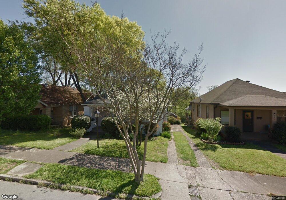
325 Dennison St Little Rock, AR 72205
Hillcrest NeighborhoodEstimated Value: $168,022 - $206,000
--
Bed
1
Bath
1,344
Sq Ft
$143/Sq Ft
Est. Value
About This Home
This home is located at 325 Dennison St, Little Rock, AR 72205 and is currently estimated at $192,506, approximately $143 per square foot. 325 Dennison St is a home located in Pulaski County with nearby schools including M.L. King Elementary School, Dunbar Magnet Middle School, and Central High School.
Ownership History
Date
Name
Owned For
Owner Type
Purchase Details
Closed on
Apr 1, 2004
Sold by
Estill Dana Morgan and Estill Jerry Robert
Bought by
Fraser Kristi M and Staley Justin R
Current Estimated Value
Home Financials for this Owner
Home Financials are based on the most recent Mortgage that was taken out on this home.
Original Mortgage
$95,000
Outstanding Balance
$44,088
Interest Rate
5.57%
Mortgage Type
Purchase Money Mortgage
Estimated Equity
$148,418
Purchase Details
Closed on
Aug 20, 2001
Sold by
Narisi Joseph Michael and Narisi Linda Lee Velvin
Bought by
Estill Jerry Robert and Estill Dana Morgan
Home Financials for this Owner
Home Financials are based on the most recent Mortgage that was taken out on this home.
Original Mortgage
$78,550
Interest Rate
7.16%
Mortgage Type
Purchase Money Mortgage
Create a Home Valuation Report for This Property
The Home Valuation Report is an in-depth analysis detailing your home's value as well as a comparison with similar homes in the area
Home Values in the Area
Average Home Value in this Area
Purchase History
| Date | Buyer | Sale Price | Title Company |
|---|---|---|---|
| Fraser Kristi M | $104,000 | First National Title | |
| Estill Jerry Robert | $88,000 | Lenders Title Company |
Source: Public Records
Mortgage History
| Date | Status | Borrower | Loan Amount |
|---|---|---|---|
| Open | Fraser Kristi M | $95,000 | |
| Previous Owner | Estill Jerry Robert | $78,550 |
Source: Public Records
Tax History Compared to Growth
Tax History
| Year | Tax Paid | Tax Assessment Tax Assessment Total Assessment is a certain percentage of the fair market value that is determined by local assessors to be the total taxable value of land and additions on the property. | Land | Improvement |
|---|---|---|---|---|
| 2025 | $1,953 | $27,906 | $2,080 | $25,826 |
| 2024 | $1,690 | $27,906 | $2,080 | $25,826 |
| 2023 | $1,690 | $27,906 | $2,080 | $25,826 |
| 2022 | $1,549 | $27,906 | $2,080 | $25,826 |
| 2021 | $1,419 | $24,200 | $3,280 | $20,920 |
| 2020 | $1,315 | $24,200 | $3,280 | $20,920 |
| 2019 | $1,221 | $24,200 | $3,280 | $20,920 |
| 2018 | $1,127 | $24,200 | $3,280 | $20,920 |
| 2017 | $1,033 | $24,200 | $3,280 | $20,920 |
| 2016 | $590 | $24,160 | $3,360 | $20,800 |
| 2015 | $903 | $12,883 | $3,360 | $9,523 |
| 2014 | $903 | $11,803 | $3,360 | $8,443 |
Source: Public Records
Map
Nearby Homes
- 312 Barton St
- 216 Rice St
- 201 Dennison St
- 2020 W 3rd St
- 2717 W Capitol Ave
- 107 N Summit St
- 123 N Schiller St
- 127 N Schiller St
- 306 S Woodrow St
- 305 Booker St
- 400 S Booker St
- 121 N Woodrow St
- 2012 Riverview Dr
- 0 Rice St Unit 25014406
- 301 N Woodrow St
- 2416 W 13th St
- 923 Booker St
- 1116 Kavanaugh Blvd
- 111 Midland St
- 1204 Kavanaugh Blvd
- 327 Dennison St
- 321 Dennison St
- 329 Dennison St
- 319 Dennison St
- 437 Dennison St
- 320 Barton St
- 322 Barton St
- 318 Barton St
- 312 Dennison St
- 310 Dennison St
- 424 Dennison St
- 315 Dennison St
- 308 Dennison St
- 308 Barton St
- 304 Dennison St
- 304 Barton St
- 301 Dennison St
- 302 Dennison St
- 501 Rice St
- 319 Rice St