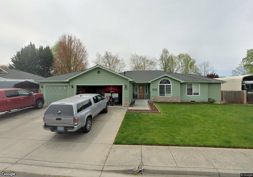
325 Donna Way Central Point, OR 97502
Estimated Value: $479,000 - $508,000
4
Beds
3
Baths
2,159
Sq Ft
$228/Sq Ft
Est. Value
About This Home
This home is located at 325 Donna Way, Central Point, OR 97502 and is currently estimated at $491,897, approximately $227 per square foot. 325 Donna Way is a home located in Jackson County with nearby schools including Richardson Elementary School, Scenic Middle School, and Crater High School.
Ownership History
Date
Name
Owned For
Owner Type
Purchase Details
Closed on
Aug 18, 2020
Sold by
Dent Christopher A and Dent Tanya L
Bought by
Dent Christopher A and Dent Tanya L
Current Estimated Value
Home Financials for this Owner
Home Financials are based on the most recent Mortgage that was taken out on this home.
Original Mortgage
$152,000
Outstanding Balance
$134,835
Interest Rate
3%
Mortgage Type
New Conventional
Estimated Equity
$357,062
Purchase Details
Closed on
Apr 23, 2003
Sold by
Pactrend Inc
Bought by
Dent Christopher A and Walls Tanya L
Home Financials for this Owner
Home Financials are based on the most recent Mortgage that was taken out on this home.
Original Mortgage
$140,000
Interest Rate
5.54%
Create a Home Valuation Report for This Property
The Home Valuation Report is an in-depth analysis detailing your home's value as well as a comparison with similar homes in the area
Home Values in the Area
Average Home Value in this Area
Purchase History
| Date | Buyer | Sale Price | Title Company |
|---|---|---|---|
| Dent Christopher A | -- | Ticor Title | |
| Dent Christopher A | $175,000 | Lawyers Title Insurance Corp |
Source: Public Records
Mortgage History
| Date | Status | Borrower | Loan Amount |
|---|---|---|---|
| Open | Dent Christopher A | $152,000 | |
| Closed | Dent Christopher A | $140,000 | |
| Closed | Dent Christopher A | $17,500 |
Source: Public Records
Tax History Compared to Growth
Tax History
| Year | Tax Paid | Tax Assessment Tax Assessment Total Assessment is a certain percentage of the fair market value that is determined by local assessors to be the total taxable value of land and additions on the property. | Land | Improvement |
|---|---|---|---|---|
| 2025 | $4,588 | $275,950 | $91,550 | $184,400 |
| 2024 | $4,588 | $267,920 | $88,880 | $179,040 |
| 2023 | $4,440 | $260,120 | $86,290 | $173,830 |
| 2022 | $4,337 | $260,120 | $86,290 | $173,830 |
| 2021 | $4,213 | $252,550 | $83,770 | $168,780 |
| 2020 | $4,090 | $245,200 | $81,330 | $163,870 |
| 2019 | $3,989 | $231,130 | $76,660 | $154,470 |
| 2018 | $3,868 | $224,400 | $74,430 | $149,970 |
| 2017 | $3,770 | $224,400 | $74,430 | $149,970 |
| 2016 | $3,660 | $211,530 | $70,170 | $141,360 |
| 2015 | $3,507 | $211,530 | $70,170 | $141,360 |
| 2014 | $3,418 | $199,390 | $66,140 | $133,250 |
Source: Public Records
Map
Nearby Homes
- 407 Silver Creek Dr
- 420 Mayberry Ln
- 1134 Steamboat Dr
- 429 Mayberry Ln
- 619 Palo Verde Way
- 626 Griffin Oaks Dr
- 1135 Shake Dr
- 25 Donna Way
- 3642 Oak Pine Way
- 570 Bachand Cir
- 21 Hickory Ln
- 349 W Pine St
- 1159 Rustler Peak St
- 3506 New Ray Rd
- 1167 Boulder Ridge St
- 465 Creekside Cir
- 487 Creekside Cir
- 526 Stone Pointe Dr
- 1317 River Run St
- 629 Bridge Creek Dr