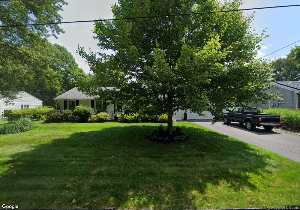
325 Evergreen Rd Springfield, MA 01119
Sixteen Acres NeighborhoodEstimated Value: $351,028 - $359,000
3
Beds
2
Baths
1,288
Sq Ft
$275/Sq Ft
Est. Value
About This Home
This home is located at 325 Evergreen Rd, Springfield, MA 01119 and is currently estimated at $354,007, approximately $274 per square foot. 325 Evergreen Rd is a home located in Hampden County with nearby schools including Frank H. Freedman School, John J Duggan Middle, and Springfield High School of Science and Technology.
Ownership History
Date
Name
Owned For
Owner Type
Purchase Details
Closed on
Sep 15, 1982
Bought by
Carpenter Anthony R and Carpenter Deborah D
Current Estimated Value
Create a Home Valuation Report for This Property
The Home Valuation Report is an in-depth analysis detailing your home's value as well as a comparison with similar homes in the area
Home Values in the Area
Average Home Value in this Area
Purchase History
| Date | Buyer | Sale Price | Title Company |
|---|---|---|---|
| Carpenter Anthony R | $40,000 | -- |
Source: Public Records
Mortgage History
| Date | Status | Borrower | Loan Amount |
|---|---|---|---|
| Open | Carpenter Anthony R | $64,100 | |
| Closed | Carpenter Anthony R | $80,000 | |
| Closed | Carpenter Anthony R | $70,000 | |
| Closed | Carpenter Anthony R | $59,902 |
Source: Public Records
Tax History Compared to Growth
Tax History
| Year | Tax Paid | Tax Assessment Tax Assessment Total Assessment is a certain percentage of the fair market value that is determined by local assessors to be the total taxable value of land and additions on the property. | Land | Improvement |
|---|---|---|---|---|
| 2025 | $5,030 | $320,800 | $52,400 | $268,400 |
| 2024 | $4,527 | $281,900 | $52,400 | $229,500 |
| 2023 | $4,126 | $242,000 | $49,900 | $192,100 |
| 2022 | $4,131 | $219,500 | $49,900 | $169,600 |
| 2021 | $3,994 | $211,300 | $45,300 | $166,000 |
| 2020 | $3,845 | $196,900 | $45,300 | $151,600 |
| 2019 | $3,635 | $184,700 | $45,300 | $139,400 |
| 2018 | $3,387 | $172,100 | $45,300 | $126,800 |
| 2017 | $3,277 | $166,700 | $42,100 | $124,600 |
| 2016 | $3,079 | $156,600 | $42,100 | $114,500 |
| 2015 | $3,043 | $154,700 | $42,100 | $112,600 |
Source: Public Records
Map
Nearby Homes
- 767 S Branch Pkwy
- 74 Valley Rd
- 89 Cherokee Dr
- 108 Birchland Ave
- 42 Redstone Dr
- 128 Sherwood Rd
- 28 Hazen St
- 28 Collingwood Rd
- 99 W Crystal Brook Dr
- 20 Lively Ln
- 157 Wildwood Ave
- 74 Leatherleaf Dr
- 43 Birchland Ave
- 27 Regal St
- 21 Lemnos Ln
- 101 Regal St
- 35 Lemnos Ln
- 1606 Wilbraham Rd
- 27 Wachusett St
- 64 Plumtree Cir
- 315 Evergreen Rd
- 335 Evergreen Rd
- 58 Greenlawn St
- 66 Greenlawn St
- 48 Greenlawn St
- 343 Evergreen Rd
- 40 Greenlawn St
- 353 Evergreen Rd
- 55 Greenlawn St
- 65 Greenlawn St
- 30 Greenlawn St
- 47 Greenlawn St
- 39 Greenlawn St
- 361 Evergreen Rd
- 29 Greenlawn St
- 56 Glenvale St
- 66 Glenvale St
- 48 Glenvale St
- 38 Glenvale St
- 21 Greenlawn St