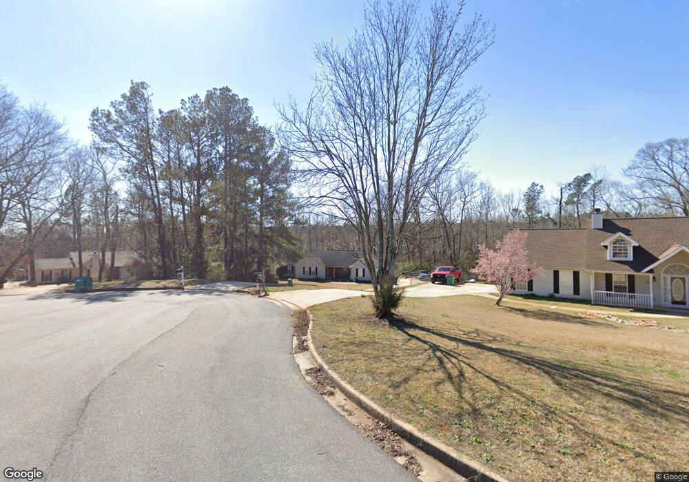
325 Harris Ave Locust Grove, GA 30248
Estimated Value: $256,000 - $282,000
3
Beds
2
Baths
1,232
Sq Ft
$217/Sq Ft
Est. Value
About This Home
This home is located at 325 Harris Ave, Locust Grove, GA 30248 and is currently estimated at $267,122, approximately $216 per square foot. 325 Harris Ave is a home located in Henry County with nearby schools including Locust Grove Elementary School, Locust Grove Middle School, and Locust Grove High School.
Ownership History
Date
Name
Owned For
Owner Type
Purchase Details
Closed on
Dec 22, 2020
Sold by
Nemeth David J
Bought by
Memeth Kelly L and Smith Hunter
Current Estimated Value
Home Financials for this Owner
Home Financials are based on the most recent Mortgage that was taken out on this home.
Original Mortgage
$161,519
Outstanding Balance
$143,800
Interest Rate
2.7%
Mortgage Type
FHA
Estimated Equity
$123,322
Purchase Details
Closed on
Sep 12, 2008
Sold by
Brehm Deborah D
Bought by
Nemeth David J
Home Financials for this Owner
Home Financials are based on the most recent Mortgage that was taken out on this home.
Original Mortgage
$126,887
Interest Rate
6.49%
Mortgage Type
New Conventional
Purchase Details
Closed on
Jun 14, 2001
Sold by
Brenco Inc
Bought by
Dumas Deborah
Home Financials for this Owner
Home Financials are based on the most recent Mortgage that was taken out on this home.
Original Mortgage
$112,244
Interest Rate
7.16%
Mortgage Type
New Conventional
Create a Home Valuation Report for This Property
The Home Valuation Report is an in-depth analysis detailing your home's value as well as a comparison with similar homes in the area
Home Values in the Area
Average Home Value in this Area
Purchase History
| Date | Buyer | Sale Price | Title Company |
|---|---|---|---|
| Memeth Kelly L | $164,500 | -- | |
| Nemeth David J | $124,400 | -- | |
| Dumas Deborah | $110,000 | -- |
Source: Public Records
Mortgage History
| Date | Status | Borrower | Loan Amount |
|---|---|---|---|
| Open | Memeth Kelly L | $161,519 | |
| Previous Owner | Nemeth David J | $126,887 | |
| Previous Owner | Dumas Deborah | $112,244 |
Source: Public Records
Tax History Compared to Growth
Tax History
| Year | Tax Paid | Tax Assessment Tax Assessment Total Assessment is a certain percentage of the fair market value that is determined by local assessors to be the total taxable value of land and additions on the property. | Land | Improvement |
|---|---|---|---|---|
| 2025 | $4,045 | $103,760 | $14,000 | $89,760 |
| 2024 | $4,045 | $97,200 | $14,000 | $83,200 |
| 2023 | $4,028 | $111,120 | $14,000 | $97,120 |
| 2022 | $3,109 | $84,960 | $14,000 | $70,960 |
| 2021 | $2,421 | $65,800 | $13,357 | $52,443 |
| 2020 | $2,245 | $60,960 | $12,000 | $48,960 |
| 2019 | $1,999 | $53,280 | $12,000 | $41,280 |
| 2018 | $1,901 | $50,960 | $10,800 | $40,160 |
| 2016 | $1,789 | $45,600 | $10,000 | $35,600 |
| 2015 | $1,720 | $42,480 | $10,000 | $32,480 |
| 2014 | $1,578 | $38,440 | $12,000 | $26,440 |
Source: Public Records
Map
Nearby Homes
- 239 Ferguson Ave
- 231 Ferguson Ave
- 143 Massey Ln
- 150 Aster Ave
- Cali Plan at Cedar Ridge - Locust Grove Station
- Belfort Plan at Cedar Ridge - Locust Grove Station
- Galen Plan at Cedar Ridge - Locust Grove Station
- Hayden Plan at Cedar Ridge - Locust Grove Station
- Packard Plan at Cedar Ridge - Locust Grove Station
- Flora Plan at Cedar Ridge - Locust Grove Station
- Penwell Plan at Cedar Ridge - Locust Grove Station
- 1134 Saint Phillips Ct
- 1119 Saint Phillips Ct
- 269 Baumgard Way
- 188 Sophie Cir
- 1020 Saint Augustine Pkwy
- 1064 Lear Dr
- 134 Aster Ave
- 138 Aster Ave
- 1604 Lady Maria Ct
- 323 Harris Ave
- 327 Harris Ave
- 0 Harris Ave Unit 7038541
- 0 Harris Ave Unit 7403979
- 0 Harris Ave Unit 7178863
- 0 Harris Ave Unit 3268605
- 0 Harris Ave Unit 3122410
- 0 Harris Ave Unit 8635943
- 0 Harris Ave Unit 8196688
- 0 Harris Ave Unit 7009694
- 0 Harris Ave Unit 8057880
- 0 Harris Ave Unit 7158821
- 0 Harris Ave Unit 3283715
- 0 Harris Ave
- 366 Harris Ave
- 329 Harris Ave
- 246 Ferguson Ave
- 248 Ferguson Ave
- 319 Harris Ave
- 328 Harris Ave