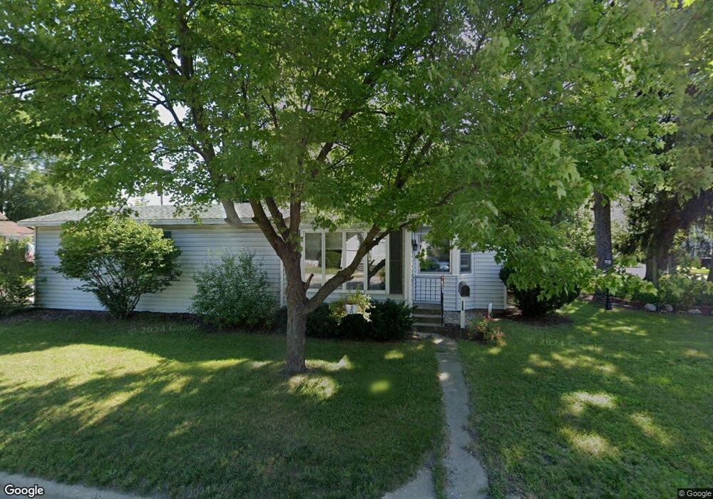
325 Hunt St Lowell, MI 49331
Estimated Value: $240,000 - $272,000
2
Beds
1
Bath
1
Sq Ft
$256,609/Sq Ft
Est. Value
About This Home
This home is located at 325 Hunt St, Lowell, MI 49331 and is currently estimated at $256,609, approximately $256,609 per square foot. 325 Hunt St is a home located in Kent County with nearby schools including Bushnell Elementary School, Cherry Creek Elementary School, and Lowell Middle School.
Ownership History
Date
Name
Owned For
Owner Type
Purchase Details
Closed on
Sep 12, 2025
Sold by
Metternick Ronald M and Metternick Carrie L
Bought by
Metternick Ronald M and Metternick Carrie L
Current Estimated Value
Purchase Details
Closed on
May 8, 1995
Bought by
Metternick Stukkie>Metternick and Metternick Ronald M
Purchase Details
Closed on
Jan 15, 1990
Bought by
Metternick Todish>Ebels and Metternick Ronald M
Purchase Details
Closed on
Nov 28, 1984
Bought by
Groendyk and Ebels>Stukkie
Create a Home Valuation Report for This Property
The Home Valuation Report is an in-depth analysis detailing your home's value as well as a comparison with similar homes in the area
Home Values in the Area
Average Home Value in this Area
Purchase History
| Date | Buyer | Sale Price | Title Company |
|---|---|---|---|
| Metternick Ronald M | -- | None Listed On Document | |
| Metternick Stukkie>Metternick | $71,000 | -- | |
| Metternick Todish>Ebels | $2,900 | -- | |
| Groendyk | $40,000 | -- |
Source: Public Records
Tax History Compared to Growth
Tax History
| Year | Tax Paid | Tax Assessment Tax Assessment Total Assessment is a certain percentage of the fair market value that is determined by local assessors to be the total taxable value of land and additions on the property. | Land | Improvement |
|---|---|---|---|---|
| 2025 | $2,248 | $102,600 | $0 | $0 |
| 2024 | $2,248 | $102,000 | $0 | $0 |
| 2023 | $2,541 | $90,900 | $0 | $0 |
| 2022 | $2,438 | $78,300 | $0 | $0 |
| 2021 | $2,369 | $69,300 | $0 | $0 |
| 2020 | $1,964 | $64,900 | $0 | $0 |
| 2019 | $2,306 | $62,500 | $0 | $0 |
| 2018 | $2,257 | $60,800 | $0 | $0 |
| 2017 | $2,201 | $55,500 | $0 | $0 |
| 2016 | $2,139 | $53,400 | $0 | $0 |
| 2015 | -- | $53,400 | $0 | $0 |
| 2013 | -- | $46,800 | $0 | $0 |
Source: Public Records
Map
Nearby Homes
- 610 Birchwood Ct SE
- 725 N Lafayette St SE
- 913 N Monroe St
- 510 N Hudson St SE
- 926 N Washington St
- 1060 N Washington St
- 521 Spring St
- 220 King St Unit 10
- 220 King St Unit 6
- 1080 N Washington St SE
- Cedarwood Plan at Flat River Estates
- Sycamore Plan at Flat River Estates
- Elmwood Plan at Flat River Estates
- Chestnut Plan at Flat River Estates
- Redwood Plan at Flat River Estates
- Whitby Plan at Flat River Estates
- Bay Harbor Plan at Flat River Estates
- Pentwater Plan at Flat River Estates
- Maplewood Plan at Flat River Estates
- Harbor Springs Plan at Flat River Estates
- 1011 N Hudson St
- 1014 N Hudson St
- 403 Hunt St
- 403 Hunt St SE
- 1012 Riverside Dr
- 1004 Riverside Dr
- 1028 N Hudson St
- 1017 N Hudson St
- 961 N Hudson St
- 1017 N Hudson St SE
- 964 Riverside Dr
- 1018 Riverside Dr
- 415 Hunt St
- 990 N Hudson St
- 990 N Hudson St SE
- 1042 N Hudson St
- 956 Riverside Dr
- 1043 N Hudson St SE
- 1043 N Hudson St
- 1034 Riverside Dr