325 Loop Rd Eldred, PA 16731
Estimated Value: $132,822 - $175,000
Studio
--
Bath
1,241
Sq Ft
$127/Sq Ft
Est. Value
About This Home
This home is located at 325 Loop Rd, Eldred, PA 16731 and is currently estimated at $157,956, approximately $127 per square foot. 325 Loop Rd is a home located in McKean County with nearby schools including Otto-Eldred Elementary School and Otto-Eldred Junior/Senior High School.
Ownership History
Date
Name
Owned For
Owner Type
Purchase Details
Closed on
Aug 13, 2021
Sold by
Thomas Nathan L and Thomas Chelsea D
Bought by
Thomas Nathan L
Current Estimated Value
Home Financials for this Owner
Home Financials are based on the most recent Mortgage that was taken out on this home.
Original Mortgage
$100,000
Outstanding Balance
$90,931
Interest Rate
2.9%
Mortgage Type
New Conventional
Estimated Equity
$67,025
Purchase Details
Closed on
Mar 10, 2014
Sold by
Baker Keith Eugene
Bought by
Thomas Nathan L and Thomas Chelsea D
Home Financials for this Owner
Home Financials are based on the most recent Mortgage that was taken out on this home.
Original Mortgage
$83,000
Interest Rate
4.32%
Mortgage Type
VA
Purchase Details
Closed on
Dec 12, 2005
Sold by
Baker Keith Eugene and Russ Baker Kathleen Mariee
Bought by
Baker Keith Eugene
Create a Home Valuation Report for This Property
The Home Valuation Report is an in-depth analysis detailing your home's value as well as a comparison with similar homes in the area
Purchase History
| Date | Buyer | Sale Price | Title Company |
|---|---|---|---|
| Thomas Nathan L | -- | None Available | |
| Thomas Nathan L | $83,000 | None Available | |
| Baker Keith Eugene | $285,000 | None Available |
Source: Public Records
Mortgage History
| Date | Status | Borrower | Loan Amount |
|---|---|---|---|
| Open | Thomas Nathan L | $100,000 | |
| Closed | Thomas Nathan L | $83,000 |
Source: Public Records
Tax History
| Year | Tax Paid | Tax Assessment Tax Assessment Total Assessment is a certain percentage of the fair market value that is determined by local assessors to be the total taxable value of land and additions on the property. | Land | Improvement |
|---|---|---|---|---|
| 2025 | $2,108 | $56,330 | $12,140 | $44,190 |
| 2024 | $1,961 | $56,330 | $12,140 | $44,190 |
| 2023 | $1,993 | $56,330 | $12,140 | $44,190 |
| 2022 | $1,961 | $56,330 | $12,140 | $44,190 |
| 2021 | $1,946 | $56,330 | $12,140 | $44,190 |
| 2020 | $1,946 | $56,330 | $12,140 | $44,190 |
| 2019 | $1,847 | $56,330 | $12,140 | $44,190 |
| 2018 | $18 | $56,330 | $12,140 | $44,190 |
| 2017 | -- | $47,780 | $12,140 | $35,640 |
| 2016 | $1,452 | $47,780 | $12,140 | $35,640 |
| 2015 | $506 | $47,780 | $12,140 | $35,640 |
| 2014 | $506 | $43,050 | $12,140 | $30,910 |
Source: Public Records
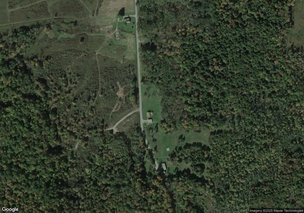
Map
Nearby Homes
- 22 King St
- 12 Edson St
- 26 King St
- 887 Barnum Rd
- 33 Edson St
- 47 Edson St
- 53 Edson St
- 22 Park Ave
- 1470 Barden Brook Rd
- 1521 Prentisvale Rd
- 173 Barden Brook
- 469 N Branch Rd
- 1368 Looker Mountain Trail
- 867 Lippert Hollow Rd
- 320 Sartwell Rd
- 1117 Old Rock City Rd
- 126 S Main St
- 296 Prosser Rd
- 738 Four Mile Rd
- 0 Steam Valley Rd Unit R1658301
Your Personal Tour Guide
Ask me questions while you tour the home.