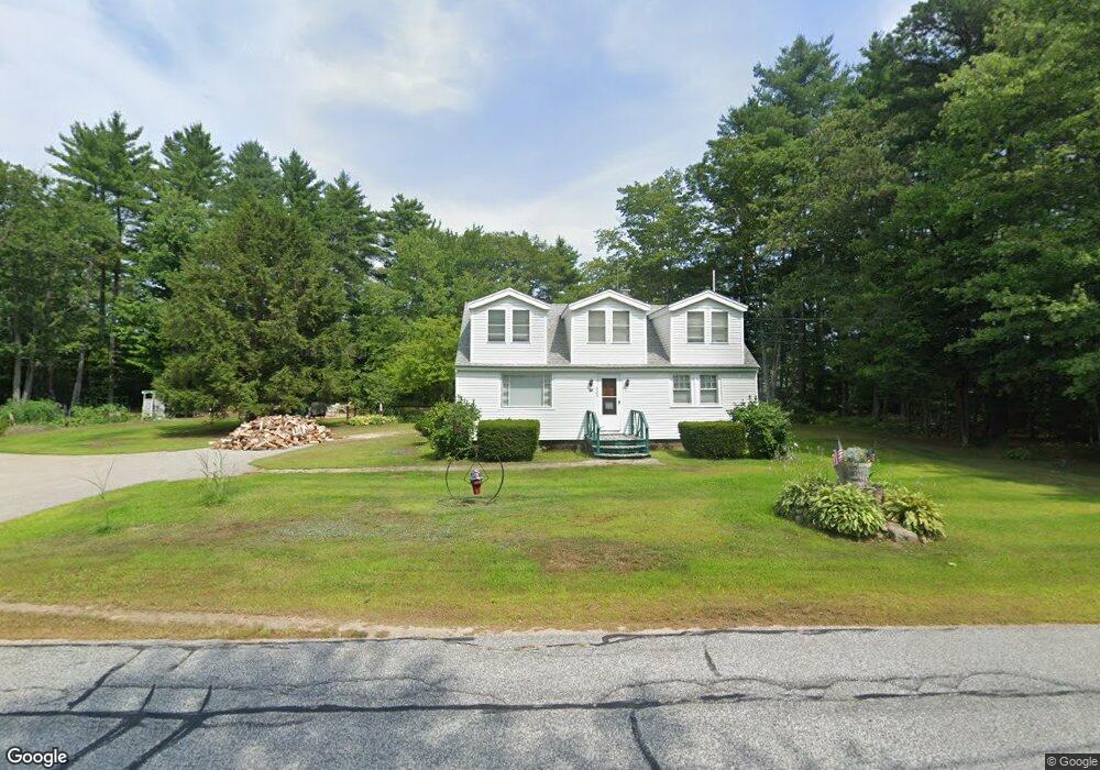
325 Maple Rd Chocorua, NH 03817
Estimated Value: $383,351 - $518,000
3
Beds
2
Baths
2,417
Sq Ft
$174/Sq Ft
Est. Value
About This Home
This home is located at 325 Maple Rd, Chocorua, NH 03817 and is currently estimated at $421,088, approximately $174 per square foot. 325 Maple Rd is a home with nearby schools including Kenneth A. Brett School.
Ownership History
Date
Name
Owned For
Owner Type
Purchase Details
Closed on
Feb 13, 2004
Sold by
Smith Michael W
Bought by
Berlind Bryan D and Berlind Pamela C
Current Estimated Value
Home Financials for this Owner
Home Financials are based on the most recent Mortgage that was taken out on this home.
Original Mortgage
$122,000
Interest Rate
5.82%
Mortgage Type
Purchase Money Mortgage
Create a Home Valuation Report for This Property
The Home Valuation Report is an in-depth analysis detailing your home's value as well as a comparison with similar homes in the area
Home Values in the Area
Average Home Value in this Area
Purchase History
| Date | Buyer | Sale Price | Title Company |
|---|---|---|---|
| Berlind Bryan D | $160,000 | -- |
Source: Public Records
Mortgage History
| Date | Status | Borrower | Loan Amount |
|---|---|---|---|
| Open | Berlind Bryan D | $90,000 | |
| Closed | Berlind Bryan D | $35,000 | |
| Closed | Berlind Bryan D | $122,000 |
Source: Public Records
Tax History Compared to Growth
Tax History
| Year | Tax Paid | Tax Assessment Tax Assessment Total Assessment is a certain percentage of the fair market value that is determined by local assessors to be the total taxable value of land and additions on the property. | Land | Improvement |
|---|---|---|---|---|
| 2024 | $4,929 | $341,600 | $72,500 | $269,100 |
| 2023 | $4,733 | $187,600 | $43,100 | $144,500 |
| 2022 | $4,459 | $187,600 | $43,100 | $144,500 |
| 2021 | $4,153 | $187,600 | $43,100 | $144,500 |
| 2020 | $4,217 | $187,600 | $43,100 | $144,500 |
| 2019 | $4,614 | $214,200 | $47,900 | $166,300 |
| 2018 | $3,706 | $160,700 | $16,800 | $143,900 |
| 2017 | $3,648 | $160,700 | $16,800 | $143,900 |
| 2016 | $3,686 | $160,700 | $16,800 | $143,900 |
| 2015 | $3,672 | $160,700 | $16,800 | $143,900 |
| 2013 | $3,510 | $175,500 | $28,200 | $147,300 |
Source: Public Records
Map
Nearby Homes
- 17 Amidon Ln
- Lot 18.1 White Mountain Hwy
- 78 Berry Ln
- 24 Flynn Ln
- 80 Elliot Ln
- 1118 Turkey St
- 10 Margo Ln
- 198 White Tail Ln
- 23 Poco Dr
- 51 Poco Dr
- 1785 White Mountain Hwy
- 12 Logan Way
- 40 Logan Way
- 26 Logan Way
- 36 Logan Way
- 748 Plains Rd
- 330 Benjamin Wentworth Dr
- 68 & 00 Gilman Valley & Route 25 W
- 00 Route 25 W Unit tbd
- 34 Old Mill Rd