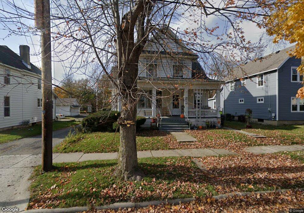
325 N Collett St Lima, OH 45805
Central Lima NeighborhoodEstimated Value: $49,000 - $102,000
2
Beds
2
Baths
1,454
Sq Ft
$49/Sq Ft
Est. Value
About This Home
This home is located at 325 N Collett St, Lima, OH 45805 and is currently estimated at $71,570, approximately $49 per square foot. 325 N Collett St is a home located in Allen County with nearby schools including Heritage Elementary School, Lima North Middle School, and Lima West Middle School.
Ownership History
Date
Name
Owned For
Owner Type
Purchase Details
Closed on
May 19, 2017
Sold by
Ott Daniel P and Ott Kimberly Sue
Bought by
Daley Donald G
Current Estimated Value
Purchase Details
Closed on
Apr 22, 2016
Sold by
Ehrhardt Earl F
Bought by
Ott Daniel P and Ott Kimberly Sue
Purchase Details
Closed on
Aug 17, 1999
Sold by
Holub Katharine
Bought by
Ehrhardt Earl
Purchase Details
Closed on
Jan 1, 1990
Bought by
Holub Katharine
Create a Home Valuation Report for This Property
The Home Valuation Report is an in-depth analysis detailing your home's value as well as a comparison with similar homes in the area
Home Values in the Area
Average Home Value in this Area
Purchase History
| Date | Buyer | Sale Price | Title Company |
|---|---|---|---|
| Daley Donald G | $35,000 | None Available | |
| Ott Daniel P | $36,400 | None Available | |
| Ehrhardt Earl | $20,000 | -- | |
| Holub Katharine | -- | -- |
Source: Public Records
Tax History Compared to Growth
Tax History
| Year | Tax Paid | Tax Assessment Tax Assessment Total Assessment is a certain percentage of the fair market value that is determined by local assessors to be the total taxable value of land and additions on the property. | Land | Improvement |
|---|---|---|---|---|
| 2024 | $489 | $12,050 | $2,490 | $9,560 |
| 2023 | $527 | $11,480 | $2,380 | $9,100 |
| 2022 | $538 | $11,730 | $2,380 | $9,350 |
| 2021 | $569 | $11,730 | $2,380 | $9,350 |
| 2020 | $600 | $11,060 | $2,310 | $8,750 |
| 2019 | $600 | $11,060 | $2,310 | $8,750 |
| 2018 | $594 | $11,060 | $2,310 | $8,750 |
| 2017 | $602 | $11,060 | $2,310 | $8,750 |
| 2016 | $611 | $11,060 | $2,310 | $8,750 |
| 2015 | $705 | $11,060 | $2,310 | $8,750 |
| 2014 | $705 | $12,780 | $2,350 | $10,430 |
| 2013 | $687 | $12,780 | $2,350 | $10,430 |
Source: Public Records
Map
Nearby Homes
- 745 Brice Ave
- 618 Woodward Ave
- 1036 W High St
- 627 Brice Ave
- 631 Hazel Ave
- 434 N Washington St
- 612 N Metcalf St
- 1120 Richie Ave
- 648 Hazel Ave
- 1023 Leland Ave
- 638 Hazel Ave
- 325 N McDonel St
- 708 N Metcalf St
- 705 W Elm St
- 343 S Charles St
- 1206 Rice Ave
- 419 S Collett St
- 676 Cortlandt Ave
- 416 Hazel Ave
- 576 Cortlandt Ave
- 325 N Collett St
- 327 N Collett St
- 321 N Collett St
- 319 N Collett St
- 901 W Wayne St
- 903 W Wayne St
- 915 W Wayne St
- 320 N Collett St
- 910 W North St
- 905 W Wayne St
- 330 N Collett St
- 314 N Collett St
- 859 W Wayne St
- 318 N Collett St
- 912 W North St
- 312 N Collett St
- 312 N Collett St
- 925 W Wayne St
- 857 W Wayne St