325 Orris Rd Thornton, NH 03285
Estimated Value: $544,000 - $690,000
3
Beds
2
Baths
1,682
Sq Ft
$356/Sq Ft
Est. Value
About This Home
This home is located at 325 Orris Rd, Thornton, NH 03285 and is currently estimated at $599,496, approximately $356 per square foot. 325 Orris Rd is a home with nearby schools including Thornton Central School and Plymouth Regional High School.
Ownership History
Date
Name
Owned For
Owner Type
Purchase Details
Closed on
Mar 16, 2019
Sold by
Getter Lisa L
Bought by
Getter Lisa L and Getter Christopher
Current Estimated Value
Home Financials for this Owner
Home Financials are based on the most recent Mortgage that was taken out on this home.
Original Mortgage
$180,000
Outstanding Balance
$157,277
Interest Rate
4.3%
Mortgage Type
New Conventional
Estimated Equity
$442,219
Purchase Details
Closed on
Sep 28, 2012
Sold by
Pierce Susan E
Bought by
Getter Lisa L
Create a Home Valuation Report for This Property
The Home Valuation Report is an in-depth analysis detailing your home's value as well as a comparison with similar homes in the area
Home Values in the Area
Average Home Value in this Area
Purchase History
| Date | Buyer | Sale Price | Title Company |
|---|---|---|---|
| Getter Lisa L | -- | -- | |
| Getter Lisa L | -- | -- |
Source: Public Records
Mortgage History
| Date | Status | Borrower | Loan Amount |
|---|---|---|---|
| Open | Getter Lisa L | $180,000 | |
| Previous Owner | Getter Lisa L | $160,000 |
Source: Public Records
Tax History Compared to Growth
Tax History
| Year | Tax Paid | Tax Assessment Tax Assessment Total Assessment is a certain percentage of the fair market value that is determined by local assessors to be the total taxable value of land and additions on the property. | Land | Improvement |
|---|---|---|---|---|
| 2024 | $5,335 | $469,200 | $186,400 | $282,800 |
| 2023 | $5,614 | $270,400 | $112,000 | $158,400 |
| 2022 | $5,447 | $272,200 | $108,000 | $164,200 |
| 2021 | $5,654 | $272,200 | $108,000 | $164,200 |
| 2020 | $5,474 | $272,200 | $108,000 | $164,200 |
| 2019 | $2,910 | $272,200 | $108,000 | $164,200 |
| 2018 | $3,127 | $285,900 | $135,600 | $150,300 |
| 2017 | $5,587 | $285,900 | $135,600 | $150,300 |
| 2016 | $5,544 | $285,900 | $135,600 | $150,300 |
| 2015 | $5,466 | $286,200 | $135,600 | $150,600 |
| 2014 | $5,378 | $286,200 | $135,600 | $150,600 |
| 2013 | $5,135 | $280,000 | $123,700 | $156,300 |
Source: Public Records
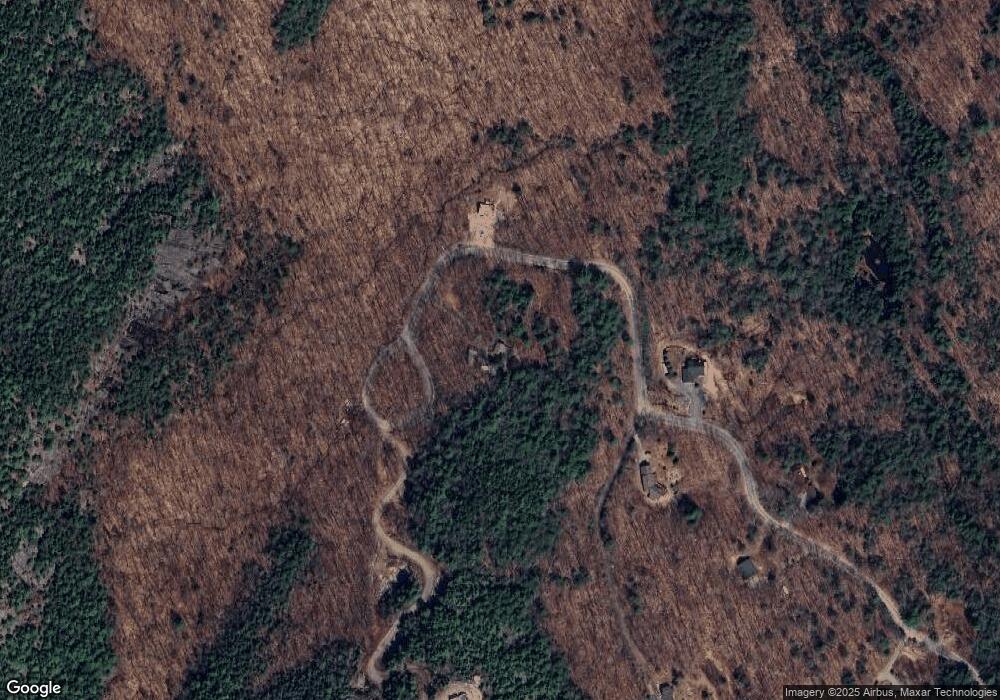
Map
Nearby Homes
- Map 231 Woodwinds Dr
- 849 Upper Mad River Rd Unit D1
- 110 Tamarack Rd
- 612 Upper Mad River Rd Unit A
- 612 Upper Mad River Rd Unit C
- 189 Covered Bridge Rd
- 000 Upper Mad River Rd Unit 7
- 911 New Hampshire 49
- Lot 1 Welch View Dr
- 11 Weeping Birches Ln
- Lot 2 Covered Bridge Rd
- 131 Snowood Dr Unit C 2
- 34 Liberty Ln Unit 2
- 36 Briarcliff Cir
- 0 Checkerberry Ridge Rd Unit 142
- 1 Condo Rd Unit 1
- 18 Condo Rd Unit 1
- 129 Hodgeman Hill Rd
- 14 Parker Rd Unit C-2
- 37 Pegwood Hill Rd