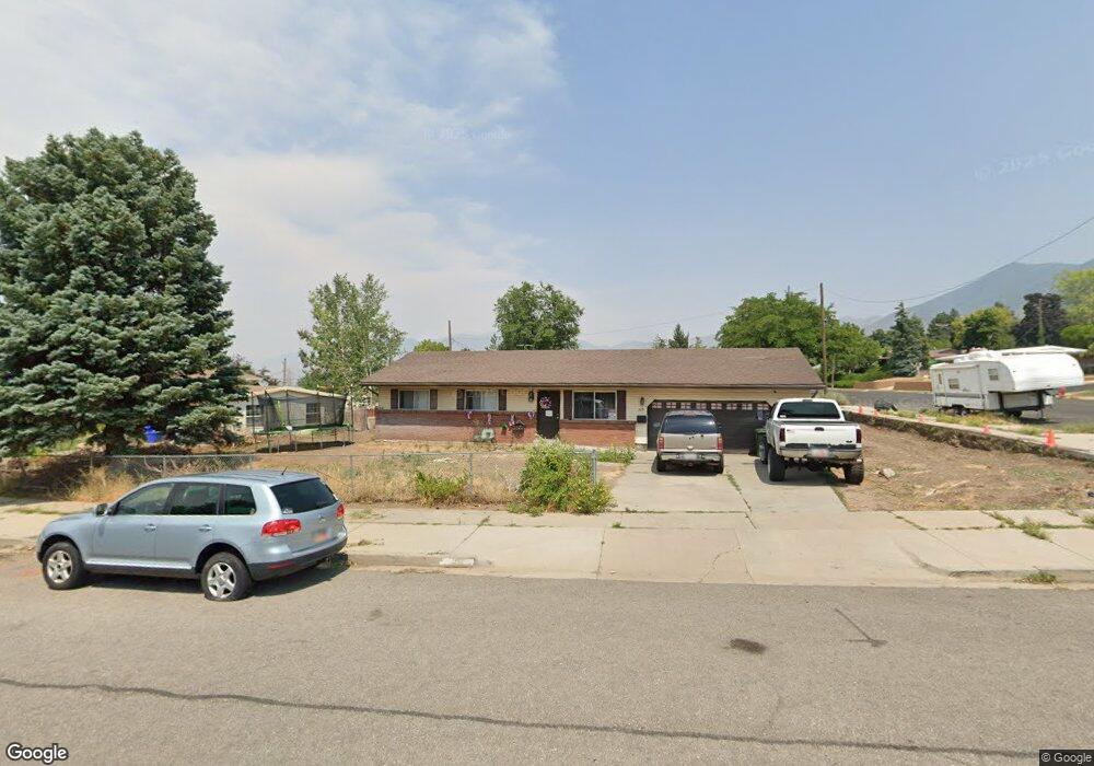
325 S 2nd St Tooele, UT 84074
Estimated Value: $317,000 - $354,000
3
Beds
1
Bath
1,053
Sq Ft
$323/Sq Ft
Est. Value
About This Home
This home is located at 325 S 2nd St, Tooele, UT 84074 and is currently estimated at $340,138, approximately $323 per square foot. 325 S 2nd St is a home located in Tooele County with nearby schools including Sterling Elementary School, Tooele Junior High School, and Tooele High School.
Ownership History
Date
Name
Owned For
Owner Type
Purchase Details
Closed on
Sep 11, 2019
Sold by
Dill Donald A and The Donald A Dill Trust
Bought by
Stevenson Tiffany Tomada and Baer Legan
Current Estimated Value
Home Financials for this Owner
Home Financials are based on the most recent Mortgage that was taken out on this home.
Original Mortgage
$212,121
Interest Rate
3.7%
Mortgage Type
New Conventional
Purchase Details
Closed on
Feb 23, 2009
Sold by
Dill Donald A
Bought by
Dill Donald A and The Donald A Dill Trust
Create a Home Valuation Report for This Property
The Home Valuation Report is an in-depth analysis detailing your home's value as well as a comparison with similar homes in the area
Home Values in the Area
Average Home Value in this Area
Purchase History
| Date | Buyer | Sale Price | Title Company |
|---|---|---|---|
| Stevenson Tiffany Tomada | -- | Security Title Ins Agcy Of | |
| Dill Donald A | -- | None Available |
Source: Public Records
Mortgage History
| Date | Status | Borrower | Loan Amount |
|---|---|---|---|
| Previous Owner | Stevenson Tiffany Tomada | $212,121 |
Source: Public Records
Tax History Compared to Growth
Tax History
| Year | Tax Paid | Tax Assessment Tax Assessment Total Assessment is a certain percentage of the fair market value that is determined by local assessors to be the total taxable value of land and additions on the property. | Land | Improvement |
|---|---|---|---|---|
| 2025 | $2,299 | $191,740 | $42,988 | $148,752 |
| 2024 | $2,323 | $177,290 | $42,988 | $134,302 |
| 2023 | $2,323 | $161,498 | $41,616 | $119,882 |
| 2022 | $1,691 | $145,522 | $46,464 | $99,058 |
| 2021 | $1,414 | $101,732 | $30,976 | $70,756 |
| 2020 | $1,309 | $163,347 | $34,700 | $128,647 |
| 2019 | $244 | $134,944 | $34,700 | $100,244 |
| 2018 | $285 | $132,169 | $45,000 | $87,169 |
| 2017 | $0 | $114,562 | $20,000 | $94,562 |
| 2016 | $685 | $56,225 | $11,000 | $45,225 |
| 2015 | $685 | $49,794 | $0 | $0 |
| 2014 | -- | $49,794 | $0 | $0 |
Source: Public Records
Map
Nearby Homes
- 250 E Broadway St
- 363 Oak Hill Dr
- 299 Sage Cir
- 161 E 200 S
- 184 S 200 E
- 156 S 200 E
- 134 S 4th St
- 192 E 100 S
- 220 S 100 E
- 180 S 100 E
- 440 Highland Dr
- 624 Mountaineer Cir
- 390 E Vine St
- 220 S Main St
- 5 S Bench Mark Village Unit 5
- 124 N 1st St
- 131 N 1st St
- 142 N Pinehurst Ave
- 354 S 100 W
- 141 N Pinehurst Ave
- 315 S 2nd St
- 271 E Broadway St
- 258 E Broadway St
- 305 S 2nd St
- 334 S 2nd St
- 291 E Broadway St
- 324 S 2nd St
- 304 S 3rd St
- 314 S 2nd St
- 292 E Broadway St
- 354 Oak Hill Dr
- 245 E Broadway St
- 304 S 2nd St
- 294 S 3rd St
- 240 E Broadway St
- 294 S 2nd St
- 364 Oak Hill Dr
- 219 Stansbury Cir
- 219 Stansbury Cir Unit 19
- 235 E Broadway St