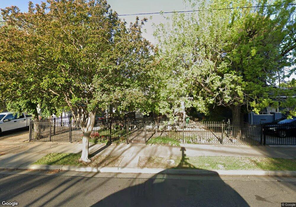
325 S Sierra Nevada St Stockton, CA 95205
East Stockton NeighborhoodEstimated Value: $321,000 - $329,615
2
Beds
1
Bath
1,105
Sq Ft
$294/Sq Ft
Est. Value
About This Home
This home is located at 325 S Sierra Nevada St, Stockton, CA 95205 and is currently estimated at $325,404, approximately $294 per square foot. 325 S Sierra Nevada St is a home located in San Joaquin County with nearby schools including John C. Fremont Elementary School, King Elementary School, and Roosevelt Elementary School.
Ownership History
Date
Name
Owned For
Owner Type
Purchase Details
Closed on
Oct 2, 2006
Sold by
Ramos Antonio and Ramos Mauricia
Bought by
Ramos Antonio and Ramos Mauricia
Current Estimated Value
Purchase Details
Closed on
Oct 20, 2000
Sold by
Holmes Tara D
Bought by
Holmes Dustin T
Purchase Details
Closed on
Oct 19, 2000
Sold by
Ramos Antonio L
Bought by
Ramos Mauricia R
Create a Home Valuation Report for This Property
The Home Valuation Report is an in-depth analysis detailing your home's value as well as a comparison with similar homes in the area
Home Values in the Area
Average Home Value in this Area
Purchase History
| Date | Buyer | Sale Price | Title Company |
|---|---|---|---|
| Ramos Antonio | -- | None Available | |
| Holmes Dustin T | -- | Alliance Title Company | |
| Ramos Mauricia R | -- | Alliance Title Company |
Source: Public Records
Tax History Compared to Growth
Tax History
| Year | Tax Paid | Tax Assessment Tax Assessment Total Assessment is a certain percentage of the fair market value that is determined by local assessors to be the total taxable value of land and additions on the property. | Land | Improvement |
|---|---|---|---|---|
| 2025 | $1,165 | $95,631 | $27,583 | $68,048 |
| 2024 | $1,144 | $93,757 | $27,043 | $66,714 |
| 2023 | $1,117 | $91,919 | $26,513 | $65,406 |
| 2022 | $1,059 | $90,118 | $25,994 | $64,124 |
| 2021 | $1,016 | $88,352 | $25,485 | $62,867 |
| 2020 | $1,034 | $87,447 | $25,224 | $62,223 |
| 2019 | $1,028 | $85,733 | $24,730 | $61,003 |
| 2018 | $1,008 | $84,053 | $24,246 | $59,807 |
| 2017 | $954 | $82,406 | $23,771 | $58,635 |
| 2016 | $969 | $80,790 | $23,305 | $57,485 |
| 2014 | $920 | $78,018 | $22,505 | $55,513 |
Source: Public Records
Map
Nearby Homes
- 336 S Airport Way
- 1224 E Lafayette St
- 1211 E Main St
- 1816 E Sonora St
- 835 S Airport Way
- 832 S Pilgrim St
- 1200 E Miner Ave
- 709 E Sonora St
- 1636 E Anderson St
- 921 S Aurora St
- 144 N Grant St
- 312 Florence St
- 28 S American St
- 328 Florence St
- 525 S California St
- 2125 E Myrtle St
- 1145 S Grant St
- 636 N Pilgrim St
- 644 N Airport Way
- 2229 Alma St
- 311 S Sierra Nevada St
- 1335 E Sonora St
- 347 S Sierra Nevada St
- 1327 E Sonora St
- 1340 E Lafayette St
- 1321 E Sonora St
- 1346 E Lafayette St
- 1320 E Lafayette St
- 330 S Airport Way
- 1332 E Lafayette St
- 1330 E Lafayette St
- 320 S Airport Way
- 1314 E Lafayette St
- 1401 E Sonora St
- 1311 E Sonora St
- 308 S Airport Way
- 1402 E Lafayette St
- 1312 E Lafayette St
- 330 S Sierra Nevada St
- 1336 E Sonora St