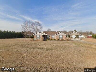
325 Shelly Hines Loop Monroeville, AL 36460
Estimated Value: $166,000 - $306,000
--
Bed
1
Bath
1,891
Sq Ft
$113/Sq Ft
Est. Value
About This Home
This home is located at 325 Shelly Hines Loop, Monroeville, AL 36460 and is currently estimated at $213,620, approximately $112 per square foot. 325 Shelly Hines Loop is a home located in Monroe County with nearby schools including Excel High School and Monroe Academy.
Ownership History
Date
Name
Owned For
Owner Type
Purchase Details
Closed on
Apr 17, 2020
Sold by
Cole Welch
Bought by
Welch Cole and Washburn Kaitlyn
Current Estimated Value
Purchase Details
Closed on
Feb 28, 2017
Sold by
Annice Watson
Bought by
Welch Cole and Washburn Kaitlyn
Home Financials for this Owner
Home Financials are based on the most recent Mortgage that was taken out on this home.
Original Mortgage
$115,371
Interest Rate
3.62%
Mortgage Type
FHA
Purchase Details
Closed on
Oct 10, 2006
Bought by
Watson Annice
Purchase Details
Closed on
May 6, 2005
Purchase Details
Closed on
Jun 24, 2004
Create a Home Valuation Report for This Property
The Home Valuation Report is an in-depth analysis detailing your home's value as well as a comparison with similar homes in the area
Home Values in the Area
Average Home Value in this Area
Purchase History
| Date | Buyer | Sale Price | Title Company |
|---|---|---|---|
| Welch Cole | $130,000 | Attorney Only | |
| Welch Cole | $117,871 | Attorney Only | |
| Watson Annice | $128,000 | -- | |
| -- | -- | -- | |
| -- | $14,000 | -- |
Source: Public Records
Mortgage History
| Date | Status | Borrower | Loan Amount |
|---|---|---|---|
| Previous Owner | Welch Cole | $115,371 |
Source: Public Records
Tax History Compared to Growth
Tax History
| Year | Tax Paid | Tax Assessment Tax Assessment Total Assessment is a certain percentage of the fair market value that is determined by local assessors to be the total taxable value of land and additions on the property. | Land | Improvement |
|---|---|---|---|---|
| 2024 | $507 | $16,420 | $0 | $0 |
| 2023 | $450 | $14,820 | $0 | $0 |
| 2022 | $416 | $12,840 | $0 | $0 |
| 2021 | $378 | $12,840 | $0 | $0 |
| 2020 | $313 | $11,020 | $0 | $0 |
| 2019 | $313 | $11,020 | $0 | $0 |
| 2018 | $313 | $11,020 | $0 | $0 |
| 2017 | $792 | $22,000 | $2,310 | $19,690 |
| 2016 | -- | $0 | $0 | $0 |
| 2015 | -- | $109,790 | $0 | $0 |
| 2014 | -- | $109,790 | $0 | $0 |
| 2013 | -- | $109,790 | $0 | $0 |
Source: Public Records
Map
Nearby Homes
- 000 Brown St
- 40 Nanlin Dr
- 1742 Alabama 21
- 252 Highway 84 W
- 3773 Bowden St
- 0 Commerce St
- 252 U S Highway 84 E
- 2271 Barton Rd
- 0 Perdue Hill Rd
- 273 Bouler Dr
- 700 Ward Rd
- 0 Ward Rd
- 160 Mockingbird Ln
- 485 Norwood Rd
- 1508 S Alabama Ave Unit 40,41
- 321 Highland Ave
- 295 Norwood Rd
- 91 Crestview Ave
- 223 Michaels Ave
- 107 Floyd St