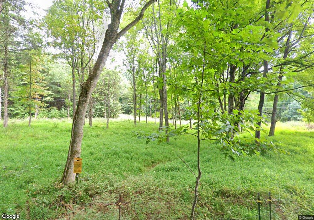
325 Stroud Rd Cedar Hill, TN 37032
Estimated Value: $222,000 - $529,000
--
Bed
2
Baths
3,240
Sq Ft
$122/Sq Ft
Est. Value
About This Home
This home is located at 325 Stroud Rd, Cedar Hill, TN 37032 and is currently estimated at $395,980, approximately $122 per square foot. 325 Stroud Rd is a home located in Montgomery County with nearby schools including Carmel Elementary School, Richview Middle School, and Clarksville High School.
Ownership History
Date
Name
Owned For
Owner Type
Purchase Details
Closed on
Sep 26, 2022
Sold by
Little James P
Bought by
Little James P
Current Estimated Value
Purchase Details
Closed on
Nov 15, 2019
Sold by
Little Cynthia D
Bought by
Little James P
Purchase Details
Closed on
Dec 23, 2012
Sold by
Little James P
Bought by
Little Co Of Tennessee Llc
Purchase Details
Closed on
May 31, 2002
Sold by
Little Enterprises Llc
Bought by
Little James P
Purchase Details
Closed on
Apr 29, 1996
Sold by
Little Enterprises Llc
Bought by
Little James P
Purchase Details
Closed on
Apr 11, 1996
Sold by
Little Enterprises Llc
Bought by
Little Enterprises Llc
Create a Home Valuation Report for This Property
The Home Valuation Report is an in-depth analysis detailing your home's value as well as a comparison with similar homes in the area
Home Values in the Area
Average Home Value in this Area
Purchase History
| Date | Buyer | Sale Price | Title Company |
|---|---|---|---|
| Little James P | -- | -- | |
| Little James P | -- | -- | |
| Little James P | -- | -- | |
| Little Co Of Tennessee Llc | -- | -- | |
| Little James P | -- | -- | |
| Little James P | -- | -- | |
| Little Enterprises Llc | -- | -- |
Source: Public Records
Tax History Compared to Growth
Tax History
| Year | Tax Paid | Tax Assessment Tax Assessment Total Assessment is a certain percentage of the fair market value that is determined by local assessors to be the total taxable value of land and additions on the property. | Land | Improvement |
|---|---|---|---|---|
| 2024 | $1,710 | $81,425 | $0 | $0 |
| 2023 | $1,710 | $143,250 | $0 | $0 |
| 2022 | $4,283 | $143,250 | $0 | $0 |
| 2021 | $4,283 | $143,250 | $0 | $0 |
| 2020 | $4,283 | $143,250 | $0 | $0 |
| 2019 | $4,283 | $143,250 | $0 | $0 |
| 2018 | $3,765 | $173,625 | $0 | $0 |
| 2017 | $3,765 | $122,650 | $0 | $0 |
| 2016 | $3,765 | $122,650 | $0 | $0 |
| 2015 | $3,648 | $122,650 | $0 | $0 |
| 2014 | $3,648 | $122,650 | $0 | $0 |
| 2013 | $3,132 | $99,750 | $0 | $0 |
Source: Public Records
Map
Nearby Homes
- 5181 Thomasville Rd
- 1018 Interstate Park Cir
- 5401 Sango Rd
- 1 Maxey Rd
- 258 Oak Plains Rd
- 0 Cedar Hill Unit RTC2944570
- 5183 Sango Rd
- 0 Mayo Rd Unit RTC2779214
- 55 Bear Branch Place
- 4845 Highway 41a S
- 0 Kathleen Dr
- 0 Ross Rd
- 870 Oak Plains Rd
- 315 Peggy Dr
- 0 Old Clarksville Pike Unit RTC2787076
- 1140 Bateman Ct
- 5075 Old Clarksville Pike
- 3501 Ridge Rd
- 1810 Old Clarksville Pike
- 4880 Tuckaway Ct
- 380 Stroud Rd
- 266 Stroud Rd
- 350 Stroud Rd
- 400 Stroud Rd
- 155 Stroud Rd
- 400 Stroud Rd
- 210 Stroud Rd
- 180 Stroud Rd
- 272 Stroud Rd
- 170 Stroud Rd
- 3075 W Stroudville Rd
- 3123 W Stroudville Rd
- 3072 W Stroudville Rd
- 109 Stroud Rd
- 3131 W Stroudville Rd
- 3129 W Stroudville Rd
- 5701 Highway 41a S
- 5551 Highway 41a S
- 5581 Highway 41a S
- 5545 Highway 41a S
