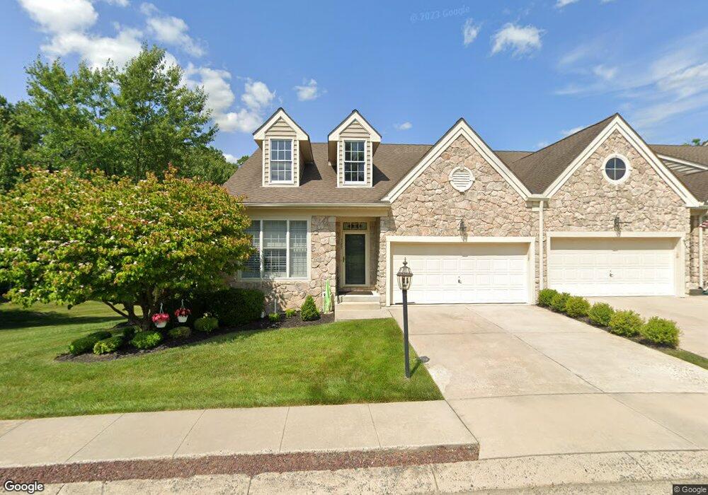
325 Sullivan Dr Abingdon, MD 21009
Estimated Value: $480,811 - $571,000
--
Bed
2
Baths
1,658
Sq Ft
$321/Sq Ft
Est. Value
About This Home
This home is located at 325 Sullivan Dr, Abingdon, MD 21009 and is currently estimated at $532,453, approximately $321 per square foot. 325 Sullivan Dr is a home located in Harford County with nearby schools including Homestead-Wakefield Elementary School, Patterson Mill Middle School, and Patterson Mill High School.
Ownership History
Date
Name
Owned For
Owner Type
Purchase Details
Closed on
Jan 5, 2006
Sold by
Turner Group Ltd
Bought by
Grody Norman C and Grody Carol B
Current Estimated Value
Home Financials for this Owner
Home Financials are based on the most recent Mortgage that was taken out on this home.
Original Mortgage
$100,000
Outstanding Balance
$54,767
Interest Rate
5.84%
Mortgage Type
Purchase Money Mortgage
Estimated Equity
$477,686
Create a Home Valuation Report for This Property
The Home Valuation Report is an in-depth analysis detailing your home's value as well as a comparison with similar homes in the area
Home Values in the Area
Average Home Value in this Area
Purchase History
| Date | Buyer | Sale Price | Title Company |
|---|---|---|---|
| Grody Norman C | $475,393 | -- |
Source: Public Records
Mortgage History
| Date | Status | Borrower | Loan Amount |
|---|---|---|---|
| Open | Grody Norman C | $100,000 |
Source: Public Records
Tax History Compared to Growth
Tax History
| Year | Tax Paid | Tax Assessment Tax Assessment Total Assessment is a certain percentage of the fair market value that is determined by local assessors to be the total taxable value of land and additions on the property. | Land | Improvement |
|---|---|---|---|---|
| 2025 | $3,909 | $382,767 | $0 | $0 |
| 2024 | $3,909 | $358,633 | $0 | $0 |
| 2023 | $3,646 | $334,500 | $115,000 | $219,500 |
| 2022 | $3,646 | $334,500 | $115,000 | $219,500 |
| 2021 | $3,958 | $334,500 | $115,000 | $219,500 |
| 2020 | $3,958 | $343,000 | $115,000 | $228,000 |
| 2019 | $3,806 | $329,800 | $0 | $0 |
| 2018 | $3,621 | $316,600 | $0 | $0 |
| 2017 | $3,470 | $303,400 | $0 | $0 |
| 2016 | $140 | $303,400 | $0 | $0 |
| 2015 | $3,913 | $303,400 | $0 | $0 |
| 2014 | $3,913 | $311,100 | $0 | $0 |
Source: Public Records
Map
Nearby Homes
- 2414 Laurel Bush Rd
- 304 Boeing Ct
- 2605 Colpepper Rd
- 2802 Merrick Way
- 111 Cinnamon Tree Dr
- 2411 Grand Oaks Ct
- 2601 Merrick Way
- 121 Spruce Woods Ct
- 603 E Wheel Rd Unit (11.65 ACRES)
- 603 E Wheel Rd
- 707 Dowers Rd
- 144 Spruce Woods Ct
- 258 Temple Dr
- 2106 S Hill Ct
- 201 Oak Leaf Cir Unit G
- 741 Burgh Westra Way
- 2907 Byron Ct
- 607 E Wheel Rd
- 2921 Ruskin Ct
- 2954 Burnt Oak Ct
- 327 Sullivan Dr
- 329 Sullivan Dr
- 323 Millwright Cir
- 331 Sullivan Dr
- 321 Millwright Cir
- 334 Sullivan Dr
- 315 Millwright Cir
- 317 Millwright Cir
- 335 Sullivan Dr
- 313 Millwright Cir
- 336 Sullivan Dr
- 337 Sullivan Dr
- 311 Millwright Cir
- 2600 Cherry Laurel Ct
- 339 Sullivan Dr
- 309 Millwright Cir
- 2602 Cherry Laurel Ct
- 2549 Laurel Bush Rd
- 2601 Cherry Laurel Ct
- 307 Millwright Cir