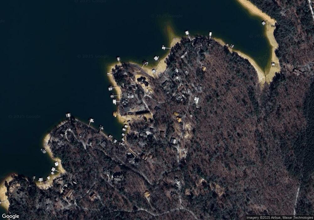
325 Timmy Cir Morganton, GA 30560
Estimated Value: $248,246 - $284,000
--
Bed
--
Bath
408
Sq Ft
$652/Sq Ft
Est. Value
About This Home
This home is located at 325 Timmy Cir, Morganton, GA 30560 and is currently estimated at $266,123, approximately $652 per square foot. 325 Timmy Cir is a home with nearby schools including Fannin County High School.
Ownership History
Date
Name
Owned For
Owner Type
Purchase Details
Closed on
Dec 18, 2024
Sold by
Nottingham Prescott L
Bought by
Lichner Jon A and Nottingham Kimberly L
Current Estimated Value
Purchase Details
Closed on
Dec 2, 2020
Sold by
Rosen Jonathan
Bought by
Nottingham Prescott
Purchase Details
Closed on
Aug 10, 2005
Sold by
Bennett James L
Bought by
Nottingham Prescott L
Purchase Details
Closed on
Jun 22, 1993
Sold by
Ashworth Thomas E
Bought by
Bennett James L
Purchase Details
Closed on
Jun 20, 1983
Bought by
Ashworth Thomas E
Create a Home Valuation Report for This Property
The Home Valuation Report is an in-depth analysis detailing your home's value as well as a comparison with similar homes in the area
Home Values in the Area
Average Home Value in this Area
Purchase History
| Date | Buyer | Sale Price | Title Company |
|---|---|---|---|
| Lichner Jon A | -- | -- | |
| Nottingham Prescott | $10,000 | -- | |
| Nottingham Prescott L | $150,000 | -- | |
| Bennett James L | $40,000 | -- | |
| Ashworth Thomas E | $8,000 | -- |
Source: Public Records
Tax History Compared to Growth
Tax History
| Year | Tax Paid | Tax Assessment Tax Assessment Total Assessment is a certain percentage of the fair market value that is determined by local assessors to be the total taxable value of land and additions on the property. | Land | Improvement |
|---|---|---|---|---|
| 2024 | $452 | $49,300 | $8,360 | $40,940 |
| 2023 | $439 | $43,097 | $8,360 | $34,737 |
| 2022 | $445 | $43,637 | $8,360 | $35,277 |
| 2021 | $464 | $33,120 | $8,360 | $24,760 |
| 2020 | $462 | $32,417 | $8,360 | $24,057 |
| 2019 | $471 | $32,417 | $8,360 | $24,057 |
| 2018 | $499 | $32,417 | $8,360 | $24,057 |
| 2017 | $582 | $32,901 | $8,360 | $24,541 |
| 2016 | $397 | $23,392 | $2,704 | $20,688 |
| 2015 | $378 | $21,329 | $2,704 | $18,625 |
| 2014 | $368 | $21,377 | $2,805 | $18,572 |
| 2013 | -- | $18,255 | $2,805 | $15,450 |
Source: Public Records
Map
Nearby Homes
- 160 Star Dr
- .76 AC Charlotte Cir
- .76 ACRES Charlotte Cir
- .76 acre Charlotte Cir
- 103 Charlotte Dr
- Lot #15 Rome Point
- 66 Rome Point
- 474 Stewart Camp Point
- 18 Mallard Ln
- 790 Star Creek Dr
- 0 Circle Dr Unit 324443
- 82 Circle Dr
- 48 Orchard Dr
- 0 Ridge St Unit 7640123
- 0 Ridge St Unit LOT 27 10593030
- 317 Hideaway Place
- 60 Lake Ridge Dr
