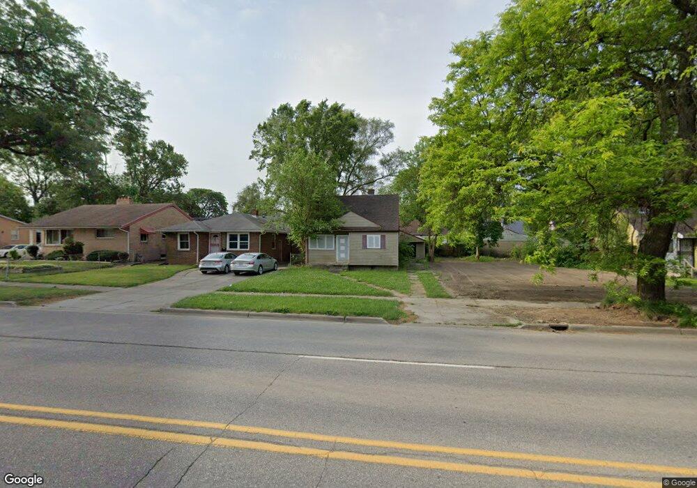
325 W Pierson Rd Flint, MI 48505
King Avenue Plus NeighborhoodEstimated Value: $46,000 - $56,116
3
Beds
1
Bath
937
Sq Ft
$55/Sq Ft
Est. Value
About This Home
This home is located at 325 W Pierson Rd, Flint, MI 48505 and is currently estimated at $51,279, approximately $54 per square foot. 325 W Pierson Rd is a home located in Genesee County with nearby schools including Brownell STEM Academy, The New Standard Academy, and Eagle's Nest Academy.
Ownership History
Date
Name
Owned For
Owner Type
Purchase Details
Closed on
Nov 14, 2024
Sold by
Genesee County Land Bank Authority
Bought by
Ellis Destiny Larray-Marie
Current Estimated Value
Purchase Details
Closed on
Dec 20, 2016
Sold by
Cherry Deborah L
Bought by
Genesee County Land Bank
Purchase Details
Closed on
Mar 8, 2000
Sold by
Jones Tequila
Bought by
Chase Bank Of Texas Na and Texas Commerce Bank Na
Purchase Details
Closed on
Sep 2, 1999
Sold by
Rogers Andrew and Rogers Belinda
Bought by
Jones Tequila
Create a Home Valuation Report for This Property
The Home Valuation Report is an in-depth analysis detailing your home's value as well as a comparison with similar homes in the area
Home Values in the Area
Average Home Value in this Area
Purchase History
| Date | Buyer | Sale Price | Title Company |
|---|---|---|---|
| Ellis Destiny Larray-Marie | $3,000 | None Listed On Document | |
| Genesee County Land Bank | -- | None Available | |
| Chase Bank Of Texas Na | $41,535 | -- | |
| Jones Tequila | $48,000 | Guaranty Title Company |
Source: Public Records
Tax History Compared to Growth
Tax History
| Year | Tax Paid | Tax Assessment Tax Assessment Total Assessment is a certain percentage of the fair market value that is determined by local assessors to be the total taxable value of land and additions on the property. | Land | Improvement |
|---|---|---|---|---|
| 2025 | -- | $14,900 | $0 | $0 |
| 2024 | -- | $0 | $0 | $0 |
| 2023 | -- | $0 | $0 | $0 |
| 2022 | $0 | $0 | $0 | $0 |
| 2021 | $0 | $0 | $0 | $0 |
| 2020 | $0 | $0 | $0 | $0 |
| 2019 | $712 | $0 | $0 | $0 |
| 2018 | $221 | $0 | $0 | $0 |
| 2017 | $221 | $0 | $0 | $0 |
| 2016 | $712 | $0 | $0 | $0 |
| 2015 | $0 | $0 | $0 | $0 |
| 2014 | -- | $0 | $0 | $0 |
| 2012 | -- | $9,700 | $0 | $0 |
Source: Public Records
Map
Nearby Homes
- 325 W Marengo Ave
- 506 W Marengo Ave
- 525 W Pulaski Ave
- 329 W Baltimore Blvd
- 306 W Bishop Ave
- 5210 Dupont St
- 124 W Flint Park Blvd
- 4808 Edwards Ave
- 5714 Suburban Ct
- 702/718 W Flint Park Blvd
- 350 E Mott Ave
- 606 W Stewart Ave
- 5610 Baldwin Blvd
- 409 E Lyndon Ave
- 4515 Baldwin Blvd
- 536 W Home Ave
- 618 E Pulaski Ave
- 225 E Piper Ave
- 5302 Susan St
- 618 E Parkway Ave
- 329 W Pierson Rd
- 321 W Pierson Rd
- 401 W Pierson Rd
- 317 W Pierson Rd
- 326 W Pulaski Ave
- 322 W Pulaski Ave
- 405 W Pierson Rd
- 402 W Pulaski Ave
- 318 W Pulaski Ave
- 309 W Pierson Rd
- 406 W Pulaski Ave
- 314 W Pulaski Ave
- 409 W Pierson Rd
- 410 W Pulaski Ave
- 310 W Pulaski Ave
- 322 W Pierson Rd
- 402 W Pierson Rd
- 301 W Pierson Rd
- 318 W Pierson Rd
- 406 W Pierson Rd