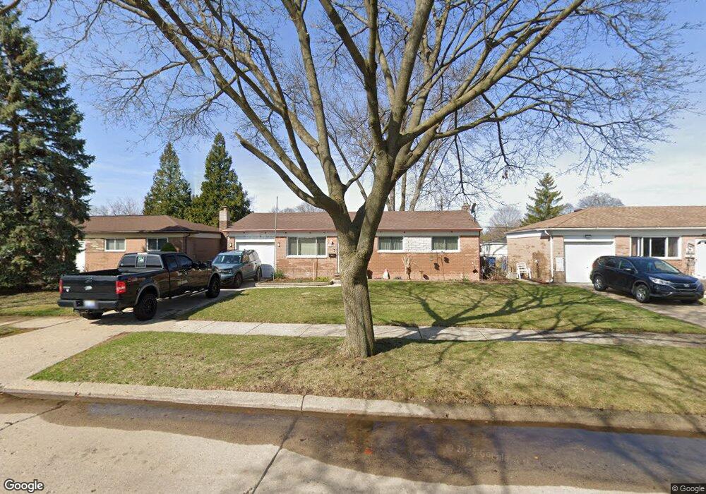
32529 Dowland Dr Warren, MI 48092
Northwest Warren NeighborhoodEstimated Value: $183,493 - $260,000
Studio
2
Baths
914
Sq Ft
$245/Sq Ft
Est. Value
About This Home
This home is located at 32529 Dowland Dr, Warren, MI 48092 and is currently estimated at $224,123, approximately $245 per square foot. 32529 Dowland Dr is a home located in Macomb County with nearby schools including Angus Elementary School, Beer Middle School, and Warren Mott High School.
Ownership History
Date
Name
Owned For
Owner Type
Purchase Details
Closed on
Oct 15, 2021
Sold by
Barreiro Ashlee R
Bought by
Barreiro Christa Marie
Current Estimated Value
Purchase Details
Closed on
Jun 4, 2014
Sold by
The William T Stone Living Trust
Bought by
Barreiro Ashlee R
Home Financials for this Owner
Home Financials are based on the most recent Mortgage that was taken out on this home.
Original Mortgage
$35,459
Outstanding Balance
$26,971
Interest Rate
4.2%
Mortgage Type
FHA
Estimated Equity
$197,152
Purchase Details
Closed on
Jan 20, 2006
Sold by
Stone William T and Stone Marion L
Bought by
Stone William T
Create a Home Valuation Report for This Property
The Home Valuation Report is an in-depth analysis detailing your home's value as well as a comparison with similar homes in the area
Home Values in the Area
Average Home Value in this Area
Purchase History
| Date | Buyer | Sale Price | Title Company |
|---|---|---|---|
| Barreiro Christa Marie | -- | None Available | |
| Barreiro Ashlee R | $41,000 | None Available | |
| Stone William T | -- | None Available |
Source: Public Records
Mortgage History
| Date | Status | Borrower | Loan Amount |
|---|---|---|---|
| Open | Barreiro Ashlee R | $35,459 |
Source: Public Records
Tax History
| Year | Tax Paid | Tax Assessment Tax Assessment Total Assessment is a certain percentage of the fair market value that is determined by local assessors to be the total taxable value of land and additions on the property. | Land | Improvement |
|---|---|---|---|---|
| 2025 | $2,743 | $99,910 | $0 | $0 |
| 2024 | $27 | $88,420 | $0 | $0 |
| 2023 | $2,544 | $81,840 | $0 | $0 |
| 2022 | $2,458 | $71,080 | $0 | $0 |
| 2021 | $2,501 | $67,340 | $0 | $0 |
| 2020 | $2,412 | $65,030 | $0 | $0 |
| 2019 | $2,325 | $55,770 | $0 | $0 |
| 2018 | $66 | $52,660 | $0 | $0 |
| 2017 | $2,332 | $50,080 | $9,830 | $40,250 |
| 2016 | $2,329 | $50,080 | $0 | $0 |
| 2015 | -- | $41,340 | $0 | $0 |
| 2012 | -- | $35,130 | $0 | $0 |
Source: Public Records
Map
Nearby Homes
- 3047 Earl Dr
- 32246 Oakview Dr
- 32960 Oakview Dr
- 32961 Wexford Dr
- 32245 Wareham Dr
- 32955 Hawthorne Dr
- 32291 Ryan Rd
- 3651 Chicago Rd
- 33731 Newport Dr
- 33560 Lamparter Dr
- 4580 Hampton Ct N
- 4125 Derray Ct Unit 7
- 5575 E 14 Mile Rd
- 1983 Sprucewood Dr
- 4272 Gunther Dr
- 3902 Marlene Dr
- 33735 Kennedy Dr
- 32930 Chalfonte Dr
- 2408 Otter St
- 33815 Orban Dr
- 32541 Dowland Dr
- 32517 Dowland Dr
- 32553 Dowland Dr
- 32505 Dowland Dr
- 32524 Warner Dr
- 32536 Warner Dr
- 32512 Warner Dr
- 32548 Warner Dr
- 32565 Dowland Dr
- 32500 Warner Dr
- 32451 Dowland Dr
- 32532 Dowland Dr
- 32520 Dowland Dr
- 32544 Dowland Dr
- 32560 Warner Dr
- 32508 Dowland Dr
- 32452 Warner Dr
- 32556 Dowland Dr
- 32603 Dowland Dr
- 32439 Dowland Dr
Your Personal Tour Guide
Ask me questions while you tour the home.