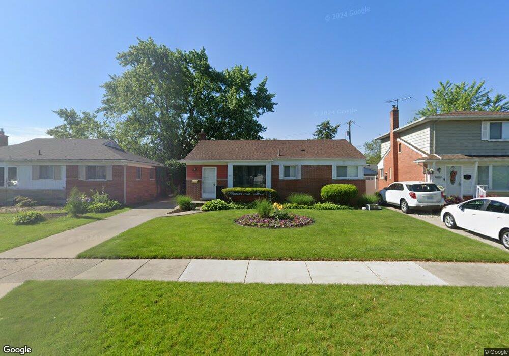
32551 Benson Dr Westland, MI 48185
Estimated Value: $229,411 - $273,000
--
Bed
1
Bath
1,092
Sq Ft
$230/Sq Ft
Est. Value
About This Home
This home is located at 32551 Benson Dr, Westland, MI 48185 and is currently estimated at $251,353, approximately $230 per square foot. 32551 Benson Dr is a home located in Wayne County with nearby schools including Hayes Elementary School, Emerson Middle School, and Cooper Upper Elementary School.
Ownership History
Date
Name
Owned For
Owner Type
Purchase Details
Closed on
Apr 30, 2022
Sold by
Tlok and Joanna
Bought by
Tlok Paulina
Current Estimated Value
Purchase Details
Closed on
Jan 7, 2022
Sold by
Tlok and Joanna
Bought by
Tlok Marek and Tlok Joanna
Purchase Details
Closed on
Dec 16, 2020
Sold by
Tiok Marek and Tiok Joanna
Bought by
Tiok Marek and Tiok Joanna
Purchase Details
Closed on
May 19, 1997
Sold by
Sambor Andrzej and Sambor Grazyna
Bought by
Tlok Marek and Tlok Joanna
Create a Home Valuation Report for This Property
The Home Valuation Report is an in-depth analysis detailing your home's value as well as a comparison with similar homes in the area
Home Values in the Area
Average Home Value in this Area
Purchase History
| Date | Buyer | Sale Price | Title Company |
|---|---|---|---|
| Tlok Paulina | -- | Michigan Land Title | |
| Tlok Marek | -- | None Listed On Document | |
| Tiok Marek | -- | None Available | |
| Tlok Marek | $115,000 | -- |
Source: Public Records
Tax History Compared to Growth
Tax History
| Year | Tax Paid | Tax Assessment Tax Assessment Total Assessment is a certain percentage of the fair market value that is determined by local assessors to be the total taxable value of land and additions on the property. | Land | Improvement |
|---|---|---|---|---|
| 2025 | $2,202 | $114,100 | $0 | $0 |
| 2024 | $2,202 | $105,800 | $0 | $0 |
| 2023 | $2,103 | $96,000 | $0 | $0 |
| 2022 | $2,447 | $83,200 | $0 | $0 |
| 2021 | $2,387 | $79,500 | $0 | $0 |
| 2020 | $2,360 | $75,100 | $0 | $0 |
| 2019 | $2,248 | $72,700 | $0 | $0 |
| 2018 | $1,775 | $61,900 | $0 | $0 |
| 2017 | $810 | $57,700 | $0 | $0 |
| 2016 | $2,149 | $58,100 | $0 | $0 |
| 2015 | $4,321 | $54,400 | $0 | $0 |
| 2013 | $4,186 | $42,810 | $0 | $0 |
| 2012 | $1,925 | $43,000 | $0 | $0 |
Source: Public Records
Map
Nearby Homes
- 32451 Sandra Ln
- 32725 Joy Rd
- 32047 Anita Dr
- 32724 Hees St
- 32327 Washington St
- 33211 Anita Dr
- 8824 Nevada St
- 8332 Berwick Dr
- 7872 Ritz Ave
- 9243 Montana St
- 31640 Ann Arbor Trail
- 9212 Idaho St
- 9253 Idaho St
- 9085 Melrose St
- 7814 Terri Dr
- 33312 Lynx St
- 32611 Vermont St
- 31273 Mackenzie Dr
- 33030 Cowan Rd
- 8878 Merriman Rd
- 32561 Benson Dr
- 32541 Benson Dr
- 32605 Benson Dr
- 32531 Benson Dr
- 32552 Sandra Ln
- 32562 Sandra Ln
- 32600 Sandra Ln
- 32542 Sandra Ln
- 32610 Sandra Ln
- 32615 Benson Dr
- 32564 Benson Ct Unit Bldg-Unit
- 32564 Benson Ct
- 32620 Sandra Ln
- 8527 Sanford Dr
- 8515 Sanford Dr
- 32625 Benson Dr
- 32594 Benson Ct
- 8507 Sanford Dr
- 32630 Sandra Ln
- 8549 Sanford Dr