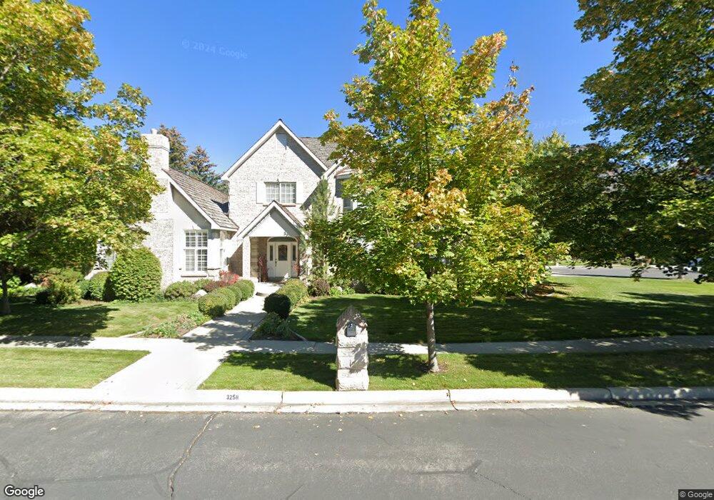
3258 Brookside Dr Provo, UT 84604
Riverside NeighborhoodEstimated Value: $1,412,381 - $1,440,000
5
Beds
5
Baths
5,000
Sq Ft
$285/Sq Ft
Est. Value
About This Home
This home is located at 3258 Brookside Dr, Provo, UT 84604 and is currently estimated at $1,426,191, approximately $285 per square foot. 3258 Brookside Dr is a home located in Utah County with nearby schools including Canyon Crest Elementary School, Centennial Middle School, and Timpview High School.
Ownership History
Date
Name
Owned For
Owner Type
Purchase Details
Closed on
Jun 19, 2006
Sold by
Smith Richard C and Smith Norma D
Bought by
Smith Richard Condie and Smith Norma Maudell
Current Estimated Value
Purchase Details
Closed on
May 6, 2002
Sold by
The Paxton Homestead Family Ltd Prtnrshp
Bought by
Weekes Brad
Purchase Details
Closed on
Mar 15, 2002
Sold by
The Paxton Family Ltd Partnership
Bought by
Weekes Brad
Create a Home Valuation Report for This Property
The Home Valuation Report is an in-depth analysis detailing your home's value as well as a comparison with similar homes in the area
Home Values in the Area
Average Home Value in this Area
Purchase History
| Date | Buyer | Sale Price | Title Company |
|---|---|---|---|
| Smith Richard Condie | -- | None Available | |
| Weekes Brad | -- | Title West Title Co | |
| Weekes Brad | -- | Title West Title Co |
Source: Public Records
Tax History
| Year | Tax Paid | Tax Assessment Tax Assessment Total Assessment is a certain percentage of the fair market value that is determined by local assessors to be the total taxable value of land and additions on the property. | Land | Improvement |
|---|---|---|---|---|
| 2025 | $6,122 | $665,665 | -- | -- |
| 2024 | $6,122 | $602,635 | $0 | $0 |
| 2023 | $6,020 | $584,210 | $0 | $0 |
| 2022 | $6,371 | $623,425 | $0 | $0 |
| 2021 | $5,145 | $878,100 | $472,200 | $405,900 |
| 2020 | $4,972 | $795,400 | $393,500 | $401,900 |
| 2019 | $4,781 | $795,400 | $393,500 | $401,900 |
| 2018 | $4,480 | $756,000 | $354,100 | $401,900 |
| 2017 | $4,484 | $415,800 | $0 | $0 |
| 2016 | $4,489 | $387,970 | $0 | $0 |
| 2015 | $3,902 | $340,835 | $0 | $0 |
| 2014 | $3,381 | $307,890 | $0 | $0 |
Source: Public Records
Map
Nearby Homes
- 158 Woodside Dr
- 3240 Shadowbrook Dr
- 111 Candlewood Place
- 3305 N Shadowbrook Cir
- 3057 N 100 W
- 2999 N Marrcrest West Dr
- 3013 N 100 W
- 2939 N Marrcrest Dr W
- 404 W 3700 N
- 3025 N 250 E
- 1360 S Carterville Rd
- 5600 N Canyon Rd
- 2735 N Country Club Dr
- 3711 N Canyon Rd
- 2774 N 370 E
- 745 S 900 E
- 528 E 3750 N
- 544 S Carterville Rd
- 407 E 3900 Rd N Unit 1
- 407 E 3900 Rd N
- 3288 Brookside Dr
- 3263 Brookside Dr
- 3236 Brookside Dr
- 186 W 3250 N
- 3285 Brookside Dr
- 188 W 3300 N
- 3243 N 140 W
- 3214 Brookside Dr
- 202 W 3300 N
- 211 W 3200 N
- 3275 N 140 W
- 3221 N 140 W
- 3221 N 140 W Unit 1
- 168 W 3300 N
- 255 W 3300 N
- 3292 N 140 W
- 191 Woodside Dr
- 226 W 3300 N
- 201 Woodside Dr
- 201 Woodside Dr Unit 47
Your Personal Tour Guide
Ask me questions while you tour the home.