3258 Long Branch Rd Dahlonega, GA 30533
Estimated Value: $458,000 - $631,000
--
Bed
3
Baths
2,534
Sq Ft
$210/Sq Ft
Est. Value
About This Home
This home is located at 3258 Long Branch Rd, Dahlonega, GA 30533 and is currently estimated at $531,399, approximately $209 per square foot. 3258 Long Branch Rd is a home located in Lumpkin County with nearby schools including Clay County Middle School and Lumpkin County High School.
Ownership History
Date
Name
Owned For
Owner Type
Purchase Details
Closed on
Feb 18, 2022
Sold by
Colt Dorothy H
Bought by
Colt Jon C
Current Estimated Value
Purchase Details
Closed on
Feb 28, 2001
Sold by
Colt Jon C
Bought by
Colt Jon C and Colt Dorothy H
Purchase Details
Closed on
Apr 16, 1999
Sold by
Anderson Tony
Bought by
Colt Jon C
Create a Home Valuation Report for This Property
The Home Valuation Report is an in-depth analysis detailing your home's value as well as a comparison with similar homes in the area
Home Values in the Area
Average Home Value in this Area
Purchase History
| Date | Buyer | Sale Price | Title Company |
|---|---|---|---|
| Colt Jon C | $199,089 | -- | |
| Colt Jon C | -- | -- | |
| Colt Jon C | $22,300 | -- |
Source: Public Records
Tax History Compared to Growth
Tax History
| Year | Tax Paid | Tax Assessment Tax Assessment Total Assessment is a certain percentage of the fair market value that is determined by local assessors to be the total taxable value of land and additions on the property. | Land | Improvement |
|---|---|---|---|---|
| 2024 | $960 | $221,154 | $75,695 | $145,459 |
| 2023 | $540 | $201,068 | $64,268 | $136,800 |
| 2022 | $717 | $177,827 | $53,556 | $124,271 |
| 2021 | $461 | $159,271 | $53,556 | $105,715 |
| 2020 | $440 | $154,507 | $51,321 | $103,186 |
| 2019 | $452 | $154,507 | $51,321 | $103,186 |
| 2018 | $350 | $141,947 | $51,321 | $90,626 |
| 2017 | $328 | $138,813 | $51,321 | $87,492 |
| 2016 | $218 | $128,467 | $51,321 | $77,146 |
| 2015 | $131 | $128,468 | $51,322 | $77,146 |
| 2014 | $131 | $129,355 | $51,322 | $78,034 |
| 2013 | -- | $131,130 | $51,321 | $79,808 |
Source: Public Records
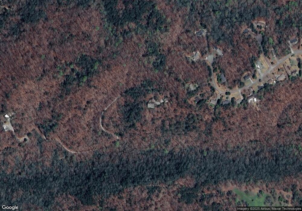
Map
Nearby Homes
- 0 Gold View Dr
- 260 Holly Ln
- 94 King Arthur Ct
- 668 Gold Cove Dr
- 238 Sunrise Trail
- 962 Winters Mountain Rd
- 1228 Winters Mountain Rd
- 245 Perkins Rd
- 205 Perkins Rd
- 201 Perkins Rd
- 0 Gold Crest Dr Unit 7623108
- 0 Gold Crest Dr Unit 10373986
- 0 Myrtle Dr Unit 7650061
- 0 Myrtle Dr Unit 10607430
- 2041 Long Branch Rd
- 2041 Long Branch Rd Unit TRACT 2A
- 0 Winters Mountain Rd Unit 7681054
- 0 Winters Mountain Rd Unit 10643431
- 0 Bearden Rd Unit 10598024
- 0 Bearden Rd Unit 7642996
- 585 Shenandoah Dr
- 575 Shenandoah Dr
- 510 Shenandoah Dr
- Lt164 Shenendoah Dr
- 660 Shenandoah Dr
- 545 Shenandoah Dr
- 670 Shenandoah Dr
- 500 Shenandoah Dr Unit 22
- 459 Shenandoah Dr
- 65 Shenandoah Trail
- 0 Shenandoah Trail
- 428 Shenandoah Dr
- 439 Shenandoah Dr
- 3256 Long Branch Rd
- 411 Shenandoah Dr
- 322 Abercrombie Rd
- 396 Shenandoah Dr
- 279 Shenandoah Dr
- Lot 1 Shenandoah Dr
- 384 Shenandoah Dr Unit 28