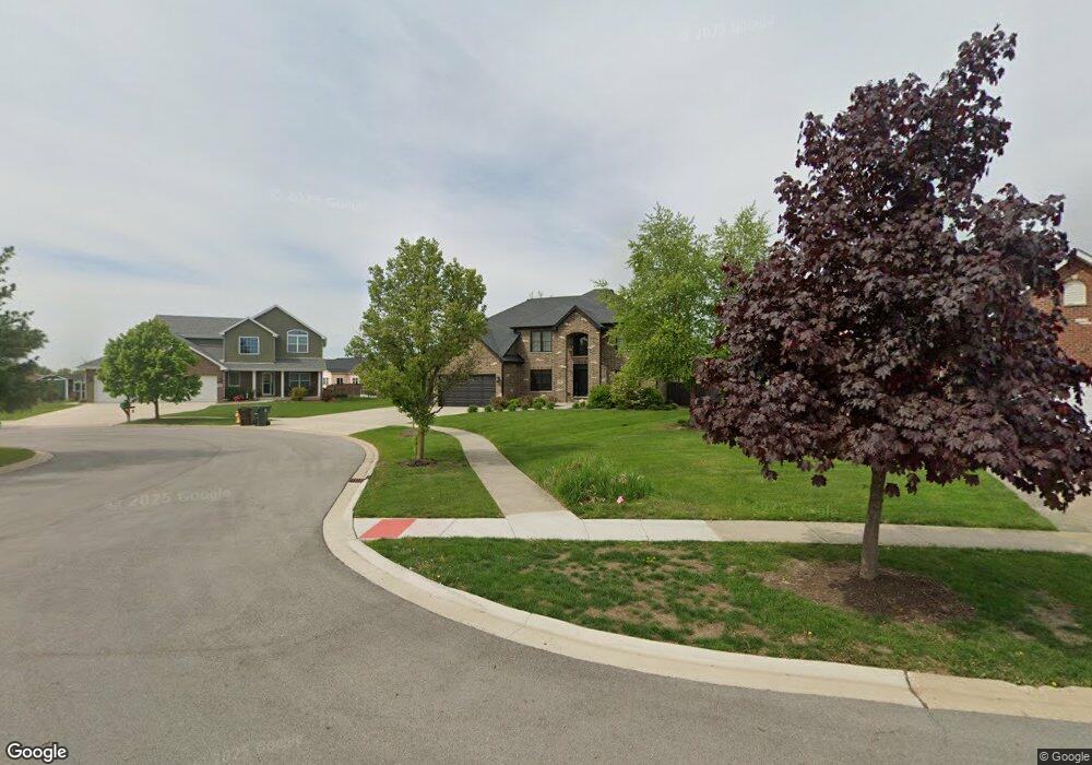
326 Frontier Ct Minooka, IL 60447
Estimated Value: $515,000 - $595,000
--
Bed
--
Bath
2,884
Sq Ft
$186/Sq Ft
Est. Value
About This Home
This home is located at 326 Frontier Ct, Minooka, IL 60447 and is currently estimated at $537,837, approximately $186 per square foot. 326 Frontier Ct is a home located in Grundy County with nearby schools including Minooka Primary Center, Minooka Elementary School, and Minooka Junior High School.
Ownership History
Date
Name
Owned For
Owner Type
Purchase Details
Closed on
Dec 21, 2017
Sold by
Slavik Joint Venture Llc
Bought by
Arias Angel and Arias Veronica
Current Estimated Value
Home Financials for this Owner
Home Financials are based on the most recent Mortgage that was taken out on this home.
Original Mortgage
$355,443
Outstanding Balance
$298,942
Interest Rate
3.9%
Mortgage Type
FHA
Estimated Equity
$238,895
Purchase Details
Closed on
May 31, 2016
Sold by
Egan Robert J and Egan Theresa M
Bought by
Slavik Joint Venture Llc
Create a Home Valuation Report for This Property
The Home Valuation Report is an in-depth analysis detailing your home's value as well as a comparison with similar homes in the area
Home Values in the Area
Average Home Value in this Area
Purchase History
| Date | Buyer | Sale Price | Title Company |
|---|---|---|---|
| Arias Angel | $395,500 | -- | |
| Slavik Joint Venture Llc | $40,000 | None Available |
Source: Public Records
Mortgage History
| Date | Status | Borrower | Loan Amount |
|---|---|---|---|
| Open | Arias Angel | $355,443 |
Source: Public Records
Tax History Compared to Growth
Tax History
| Year | Tax Paid | Tax Assessment Tax Assessment Total Assessment is a certain percentage of the fair market value that is determined by local assessors to be the total taxable value of land and additions on the property. | Land | Improvement |
|---|---|---|---|---|
| 2024 | $13,740 | $171,300 | $17,254 | $154,046 |
| 2023 | $12,524 | $156,139 | $15,727 | $140,412 |
| 2022 | $11,017 | $145,178 | $14,623 | $130,555 |
| 2021 | $10,557 | $137,427 | $13,842 | $123,585 |
| 2020 | $10,303 | $131,461 | $13,241 | $118,220 |
| 2019 | $9,740 | $121,723 | $12,260 | $109,463 |
| 2018 | $7,937 | $96,565 | $12,123 | $84,442 |
| 2017 | $829 | $9,270 | $9,270 | $0 |
| 2016 | $779 | $8,702 | $8,702 | $0 |
| 2015 | $1,117 | $9,333 | $9,333 | $0 |
| 2014 | $1,362 | $16,478 | $16,478 | $0 |
| 2013 | $699 | $16,700 | $16,700 | $0 |
Source: Public Records
Map
Nearby Homes
- 25204 Westwind Dr
- 428 E Frontier Dr
- 26314 W Silver Stream Dr
- 25226 S Mallard Dr
- 1448 Sedge Pass
- 1413 Sedge Pass
- 25441 S Mallard Dr
- 1468 Sedge Pass
- 1420 Marigold Ln
- 26020 W Ravine Woods Dr
- 25624 S Fieldstone Ct
- 25638 S Fieldstone Ct
- 324 Wabena Ct
- 1404 Plantain Dr
- 25724 S Bridle Path
- 26518 W Deer Path
- 246 Prairie Ridge Dr
- 314 Golden Rod Dr
- 25815 S Bell Rd
- 1074-1080 Clover Dr
- 322 W Frontier Dr
- 330 Frontier Ct
- 1448 Westwind Dr
- 1452 Westwind Dr
- 1444 Westwind Dr
- 318 W Frontier Dr
- 334 Frontier Ct
- 1456 Westwind Dr
- 1440 Westwind Dr
- 338 W Frontier Dr
- 314 W Frontier Dr
- 327 W Frontier Dr
- Lot 38 W Frontier Ln
- 312 W Frontier Dr
- 315 W Frontier Dr
- 1436 Westwind Dr
- 339 W Frontier Dr
- 1453 Westwind Dr
- 342 W Frontier Dr
- 1521 S Saddlebrook Ln