326 Gorham Pond Rd Goffstown, NH 03045
Estimated Value: $697,101 - $790,000
5
Beds
3
Baths
2,944
Sq Ft
$254/Sq Ft
Est. Value
About This Home
This home is located at 326 Gorham Pond Rd, Goffstown, NH 03045 and is currently estimated at $746,775, approximately $253 per square foot. 326 Gorham Pond Rd is a home with nearby schools including Mountain View Middle School and Goffstown High School.
Ownership History
Date
Name
Owned For
Owner Type
Purchase Details
Closed on
Jul 15, 2005
Sold by
Ftr Mary H Akerly
Bought by
Halvatzes Matthew J
Current Estimated Value
Home Financials for this Owner
Home Financials are based on the most recent Mortgage that was taken out on this home.
Original Mortgage
$184,800
Interest Rate
5.67%
Mortgage Type
Purchase Money Mortgage
Create a Home Valuation Report for This Property
The Home Valuation Report is an in-depth analysis detailing your home's value as well as a comparison with similar homes in the area
Home Values in the Area
Average Home Value in this Area
Purchase History
| Date | Buyer | Sale Price | Title Company |
|---|---|---|---|
| Halvatzes Matthew J | $231,000 | -- |
Source: Public Records
Mortgage History
| Date | Status | Borrower | Loan Amount |
|---|---|---|---|
| Open | Halvatzes Matthew J | $166,025 | |
| Closed | Halvatzes Matthew J | $184,800 |
Source: Public Records
Tax History
| Year | Tax Paid | Tax Assessment Tax Assessment Total Assessment is a certain percentage of the fair market value that is determined by local assessors to be the total taxable value of land and additions on the property. | Land | Improvement |
|---|---|---|---|---|
| 2025 | $12,743 | $610,300 | $182,700 | $427,600 |
| 2024 | $12,475 | $610,300 | $182,700 | $427,600 |
| 2023 | $11,510 | $610,300 | $182,700 | $427,600 |
| 2022 | $10,319 | $392,200 | $113,800 | $278,400 |
| 2021 | $9,734 | $392,200 | $113,800 | $278,400 |
| 2020 | $91 | $268,700 | $113,800 | $154,900 |
| 2019 | $5,250 | $213,600 | $113,800 | $99,800 |
| 2018 | $0 | $210,900 | $113,800 | $97,100 |
| 2017 | $5,086 | $185,500 | $102,600 | $82,900 |
| 2016 | $4,903 | $185,500 | $102,600 | $82,900 |
| 2015 | $4,748 | $168,600 | $85,800 | $82,800 |
| 2014 | $4,552 | $168,600 | $85,800 | $82,800 |
Source: Public Records
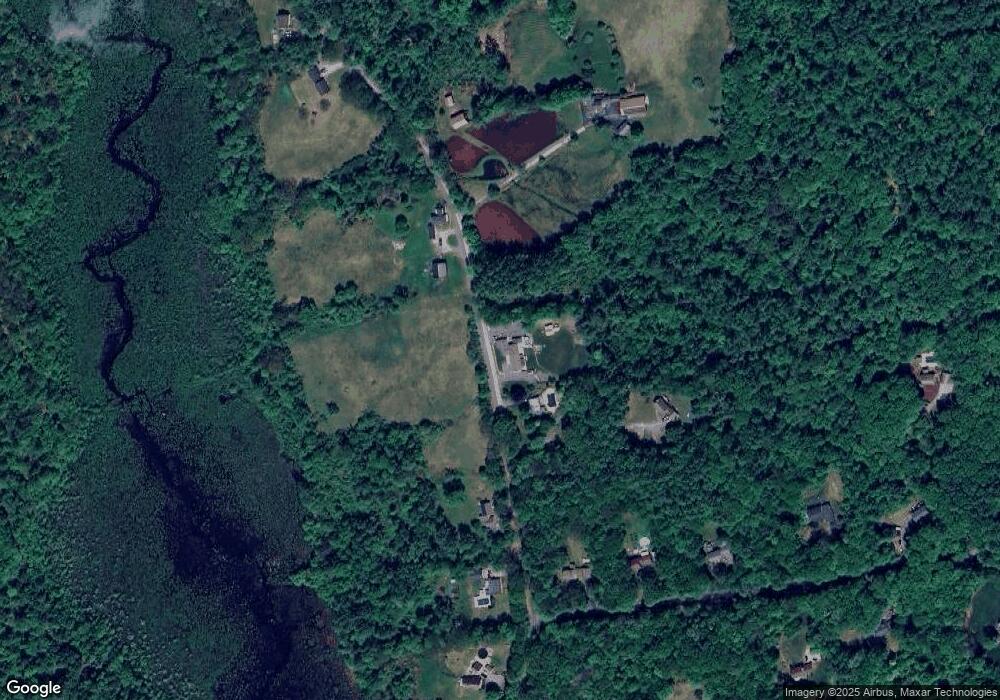
Map
Nearby Homes
- 14 Greenwood Rd
- 0 Fairway Dr Unit 11
- 174 S Stark Hwy Unit 1
- 174 S Stark Hwy Unit 23
- 31 Pine Crest Dr
- 10 Autumn St
- 0 Eastman Way
- 93 Daniels Rd
- 220 Riverdale Rd
- 129 New Boston Rd
- 234 Paige Hill Rd
- 23 Tamar Dr
- 101 Elm St
- 47 E Union St
- 130 Elm St
- 916 River Rd
- 624 S Stark Hwy
- 120 S Mast St
- 1003 School St
- 23 Bessie Leavitt Ln
- 320 Gorham Pond Rd
- 339 Gorham Pond Rd
- 314 Gorham Pond Rd
- 311 Gorham Pond Rd
- 266 Snook Rd
- 303 Gorham Pond Rd
- 262 Snook Rd
- 340 Gorham Pond Rd
- 252 Snook Rd
- 357 Gorham Pond Rd
- 291 Gorham Pond Rd
- 242 Snook Rd
- 359 Gorham Pond Rd
- 257 Snook Rd
- 287 Gorham Pond Rd
- 226 Snook Rd
- 245 Snook Rd
- 234 Snook Rd
- 239 Snook Rd
- 280 Gorham Pond Rd
Your Personal Tour Guide
Ask me questions while you tour the home.