3260 Norris Fwy Clinton, TN 37716
East Clinton NeighborhoodEstimated Value: $392,602 - $408,000
3
Beds
2
Baths
2,217
Sq Ft
$180/Sq Ft
Est. Value
About This Home
This home is located at 3260 Norris Fwy, Clinton, TN 37716 and is currently estimated at $399,401, approximately $180 per square foot. 3260 Norris Fwy is a home located in Anderson County with nearby schools including Norris Elementary School and Norris Middle School.
Ownership History
Date
Name
Owned For
Owner Type
Purchase Details
Closed on
Aug 6, 2010
Sold by
Striz William S
Bought by
Hooks Patrick
Current Estimated Value
Purchase Details
Closed on
Jun 24, 2002
Sold by
Montgomery William
Bought by
Patrick Hooks
Purchase Details
Closed on
Jun 8, 2001
Sold by
Simpson Tina L
Bought by
Montgomery William R
Home Financials for this Owner
Home Financials are based on the most recent Mortgage that was taken out on this home.
Original Mortgage
$85,500
Interest Rate
7.11%
Purchase Details
Closed on
Feb 8, 1996
Bought by
Simpson Eugene and Simpson Wife Tina L
Purchase Details
Closed on
Dec 27, 1995
Bought by
Eugene Simpson
Purchase Details
Closed on
Oct 3, 1995
Bought by
Simpson Eugene and Simpson Wife Tina L
Create a Home Valuation Report for This Property
The Home Valuation Report is an in-depth analysis detailing your home's value as well as a comparison with similar homes in the area
Home Values in the Area
Average Home Value in this Area
Purchase History
| Date | Buyer | Sale Price | Title Company |
|---|---|---|---|
| Hooks Patrick | $1,000 | -- | |
| Patrick Hooks | $126,000 | -- | |
| Montgomery William R | $119,900 | -- | |
| Simpson Tina L | -- | -- | |
| Simpson Eugene | -- | -- | |
| Eugene Simpson | $48,000 | -- | |
| Simpson Eugene | $48,000 | -- |
Source: Public Records
Mortgage History
| Date | Status | Borrower | Loan Amount |
|---|---|---|---|
| Previous Owner | Simpson Eugene | $85,500 |
Source: Public Records
Tax History Compared to Growth
Tax History
| Year | Tax Paid | Tax Assessment Tax Assessment Total Assessment is a certain percentage of the fair market value that is determined by local assessors to be the total taxable value of land and additions on the property. | Land | Improvement |
|---|---|---|---|---|
| 2024 | $1,316 | $50,050 | $10,975 | $39,075 |
| 2023 | $1,316 | $50,050 | $0 | $0 |
| 2022 | $1,316 | $50,050 | $10,975 | $39,075 |
| 2021 | $1,316 | $50,050 | $10,975 | $39,075 |
| 2020 | $1,152 | $50,050 | $10,975 | $39,075 |
| 2019 | $1,194 | $41,300 | $9,725 | $31,575 |
| 2018 | $1,152 | $41,300 | $9,725 | $31,575 |
| 2017 | $1,152 | $41,300 | $9,725 | $31,575 |
| 2016 | $1,152 | $41,300 | $9,725 | $31,575 |
| 2015 | -- | $41,300 | $9,725 | $31,575 |
| 2014 | -- | $41,300 | $9,725 | $31,575 |
| 2013 | -- | $45,425 | $0 | $0 |
Source: Public Records
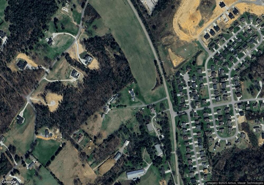
Map
Nearby Homes
- 208 Cornerstone Cir
- 214 Mossy Rock Rd
- 229 Mossy Rock Rd
- 218 Mossy Rock Rd
- 191 Cornerstone Cir
- 174 Flagstone Way
- 2902 Andersonville Hwy
- 285 Joe Owen Rd
- 649 Jade Ct
- 224 Oak Rd
- 106 Crescent Rd
- 145 Grace Cir
- 123 Orchard Rd
- 170 Lone Mountain Rd
- 3816 Andersonville Hwy
- 102 Morning Glory
- 0 Chicory Dr Unit 1313759
- 0 Larkspur Dr
- 116 Blue Phlox Ln
- 124 Blue Phlox Ln
- 3264 Norris Fwy
- 3290 Norris Fwy
- 121 Rolling Stone Ln
- 117 Rolling Stone Ln
- 111 Rolling Stone Ln
- 107 Rolling Stone Ln
- 125 Rolling Stone Ln
- 103 Rolling Stone Ln
- 106 Flag Stone Way
- 106 Flagstone Way
- 118 Rolling Stone Ln
- 112 Rolling Stone Ln
- 108 Rolling Stone Ln
- 122 Rolling Stone Ln
- 126 Rolling Stone Ln
- 102 Rolling Stone Ln
- 110 Flag Stone Way
- 103 Flag Stone Way
- 0 Flagstone Way Unit 590098
- 0 Flagstone Way Unit 590067