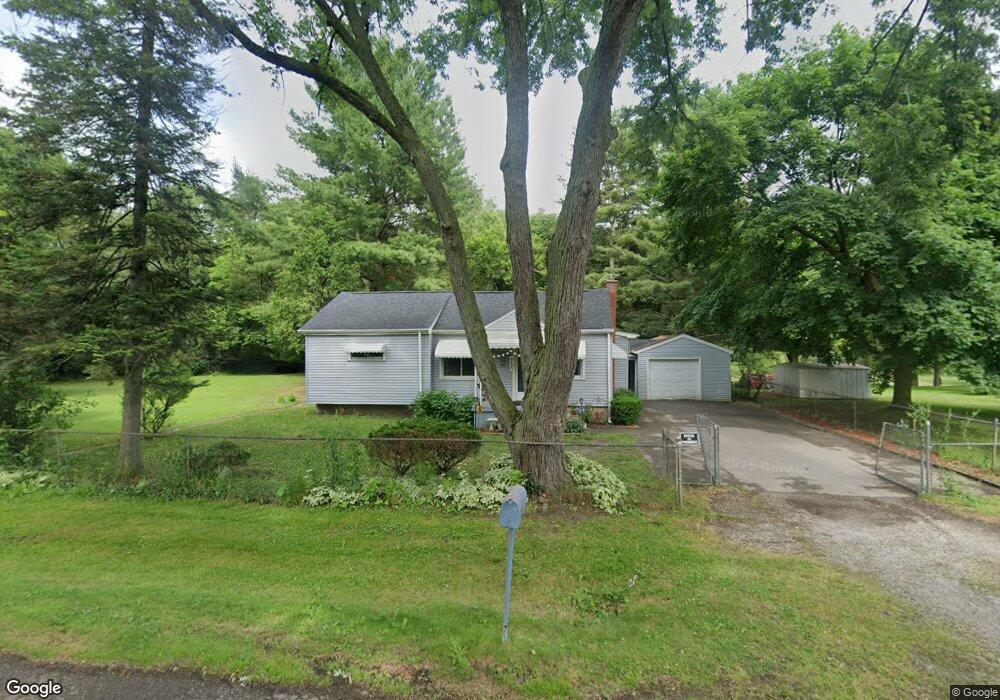
3262 Drexel Ave Flint, MI 48506
Northeast Flint NeighborhoodEstimated Value: $110,000 - $141,000
Studio
--
Bath
1,110
Sq Ft
$113/Sq Ft
Est. Value
About This Home
This home is located at 3262 Drexel Ave, Flint, MI 48506 and is currently estimated at $125,467, approximately $113 per square foot. 3262 Drexel Ave is a home located in Genesee County with nearby schools including Weston Elementary School, Kate Dowdall Elementary School, and Leota Fiedler Elementary School.
Ownership History
Date
Name
Owned For
Owner Type
Purchase Details
Closed on
Sep 6, 2001
Sold by
Thomas Suzette M and Westover Margaret Marie
Bought by
Dormire Patricia L
Current Estimated Value
Home Financials for this Owner
Home Financials are based on the most recent Mortgage that was taken out on this home.
Original Mortgage
$71,900
Outstanding Balance
$28,119
Interest Rate
7.03%
Estimated Equity
$97,348
Purchase Details
Closed on
Nov 28, 2000
Sold by
Westover Donald A and Westover Margaret M
Bought by
Westover Margaret M and Thomas Suzette M
Create a Home Valuation Report for This Property
The Home Valuation Report is an in-depth analysis detailing your home's value as well as a comparison with similar homes in the area
Home Values in the Area
Average Home Value in this Area
Purchase History
| Date | Buyer | Sale Price | Title Company |
|---|---|---|---|
| Dormire Patricia L | $89,900 | First American Title Ins Co | |
| Westover Margaret M | -- | -- |
Source: Public Records
Mortgage History
| Date | Status | Borrower | Loan Amount |
|---|---|---|---|
| Open | Dormire Patricia L | $71,900 | |
| Closed | Dormire Patricia L | $13,450 |
Source: Public Records
Tax History
| Year | Tax Paid | Tax Assessment Tax Assessment Total Assessment is a certain percentage of the fair market value that is determined by local assessors to be the total taxable value of land and additions on the property. | Land | Improvement |
|---|---|---|---|---|
| 2025 | $1,522 | $55,300 | $0 | $0 |
| 2024 | $394 | $54,700 | $0 | $0 |
| 2023 | $376 | $50,100 | $0 | $0 |
| 2022 | $1,253 | $41,500 | $0 | $0 |
| 2021 | $1,242 | $37,800 | $0 | $0 |
| 2020 | $344 | $35,000 | $0 | $0 |
| 2019 | $339 | $32,000 | $0 | $0 |
| 2018 | $1,183 | $32,400 | $0 | $0 |
| 2017 | $1,142 | $32,600 | $0 | $0 |
| 2016 | $1,133 | $32,400 | $0 | $0 |
| 2015 | $936 | $32,500 | $0 | $0 |
| 2014 | $312 | $31,100 | $0 | $0 |
| 2012 | -- | $26,100 | $26,100 | $0 |
Source: Public Records
Map
Nearby Homes
- 3294 Huggins Ave
- 00 Richfield Rd
- 3364 E Pierson Rd
- 3456 E Pierson Rd
- 3705 Aldon Ln
- 3094 Clayward Dr
- 3301 N Center Rd
- 4907 Delta Dr
- 2935 Richfield Rd
- 4231 Sugar Maple Run
- 4237 Sugar Maple Run Unit 8
- 3734 Craig Dr
- 4225 Sugar Maple Run Unit 6
- 4213 Sugar Maple Run
- 4207 Sugar Maple Run
- 4201 Sugar Maple Run Unit 2
- 3210 Wyoming Ave
- 4101 Sugar Maple Run Unit 1
- 3006 Agree Ave
- 4226 Sugar Maple Run Unit 34
- 3242 Drexel Ave
- 3278 Drexel Ave
- 3290 Drexel Ave
- 3236 Drexel Ave
- 3259 Drexel Ave
- 3271 Drexel Ave
- 3298 Drexel Ave
- 3222 Drexel Ave
- 3249 Drexel Ave
- 3310 Drexel Ave
- 3289 Drexel Ave
- 3245 Drexel Ave
- 3237 Drexel Ave
- 3291 Drexel Ave
- 3218 Drexel Ave
- 3297 Drexel Ave
- 3314 Drexel Ave
- 3260 Huggins Ave
- 3254 Huggins Ave
- 3270 Huggins Ave
Your Personal Tour Guide
Ask me questions while you tour the home.