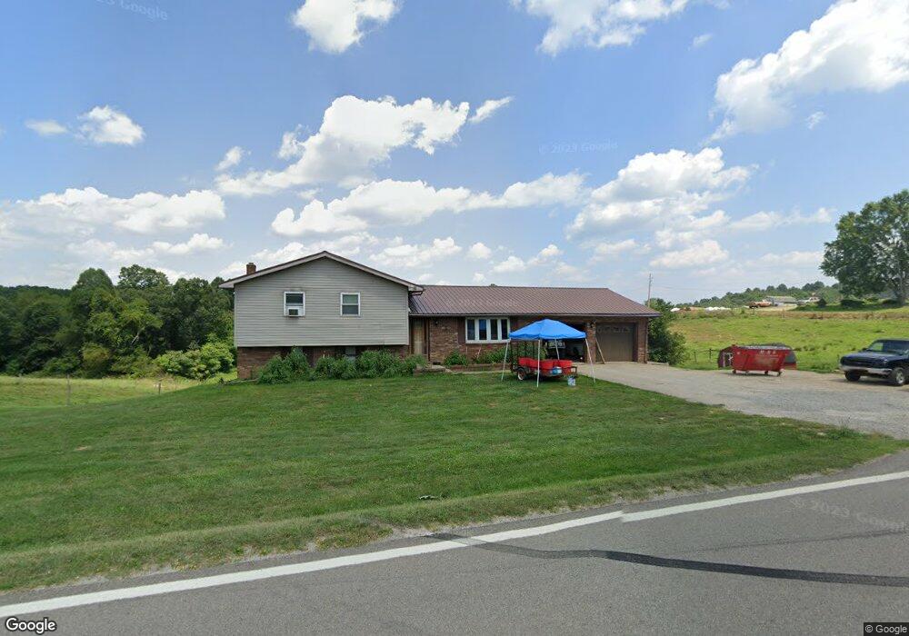
3263 State Route 83 Beverly, OH 45715
Estimated Value: $256,425 - $311,000
3
Beds
2
Baths
2,066
Sq Ft
$140/Sq Ft
Est. Value
About This Home
This home is located at 3263 State Route 83, Beverly, OH 45715 and is currently estimated at $288,808, approximately $139 per square foot. 3263 State Route 83 is a home located in Morgan County with nearby schools including Fort Frye High School.
Ownership History
Date
Name
Owned For
Owner Type
Purchase Details
Closed on
May 3, 2011
Sold by
Stegner Danita L and Stegner Edward D
Bought by
Stegner Scott
Current Estimated Value
Purchase Details
Closed on
Jun 26, 2006
Sold by
Stegner Edward D and Stegner Danita L
Bought by
Stegner Harry M
Purchase Details
Closed on
Jun 20, 2006
Sold by
Stenger Harry M
Bought by
Stenger Scott
Purchase Details
Closed on
May 6, 1997
Sold by
Stegner Edward D
Bought by
Stegner Edward D
Create a Home Valuation Report for This Property
The Home Valuation Report is an in-depth analysis detailing your home's value as well as a comparison with similar homes in the area
Purchase History
| Date | Buyer | Sale Price | Title Company |
|---|---|---|---|
| Stegner Scott | -- | None Available | |
| Stegner Harry M | -- | -- | |
| Stenger Scott | -- | -- | |
| Stegner Edward D | -- | -- |
Source: Public Records
Tax History
| Year | Tax Paid | Tax Assessment Tax Assessment Total Assessment is a certain percentage of the fair market value that is determined by local assessors to be the total taxable value of land and additions on the property. | Land | Improvement |
|---|---|---|---|---|
| 2024 | $2,186 | $72,080 | $8,000 | $64,080 |
| 2023 | $1,531 | $51,490 | $6,820 | $44,670 |
| 2022 | $1,531 | $51,490 | $6,820 | $44,670 |
| 2021 | $1,540 | $51,490 | $6,820 | $44,670 |
| 2019 | $1,397 | $44,850 | $5,930 | $38,920 |
| 2018 | $1,319 | $44,850 | $5,930 | $38,920 |
| 2017 | $1,267 | $41,945 | $5,114 | $36,831 |
| 2016 | $1,263 | $41,945 | $5,114 | $36,831 |
| 2015 | $1,300 | $41,945 | $5,114 | $36,831 |
| 2014 | $1,341 | $41,945 | $5,114 | $36,831 |
| 2013 | $1,324 | $41,945 | $5,114 | $36,831 |
Source: Public Records
Map
Nearby Homes
- 911 Ohio 83
- 2680 Mummey Rd
- 5855 Olney Run Rd
- 1550 Swift Rd
- 590 Stony Run Rd
- 1747 E Airport Rd NE
- 2050 Ohio 266
- 22 Spring St
- 0 Spring St Unit 5105838
- 4 Center St
- 0 Robert Wells Rd
- 2242 S McCoy Ridge Rd
- 5 Center St
- 0 Milner Rd
- 500 Applegate Dr
- 322 and 318 3rd St
- 31 Leget St
- 1500 S Riverview Rd
- 1500 S Riverview Rd
- 0 Ohio 339
- 3285 Ohio 83
- 3285 Rt 83
- 3251 State Route 83
- 3140 State Route 83
- 2980 State Route 83
- 3020 State Route 83
- 3383 State Route 83
- 3285 State Route 83
- 3386 State Route 83
- 2875 State Route 83
- 2747 State Route 83
- 2755 Jepsen Ln
- 2714 State Route 83
- 2715 State Route 83
- 2710 State Route 83
- 2699 State Route 83
- 2700 State Route 83
- 2701 State Route 83
- 6520 Rex Dr
- 2686 State Route 83