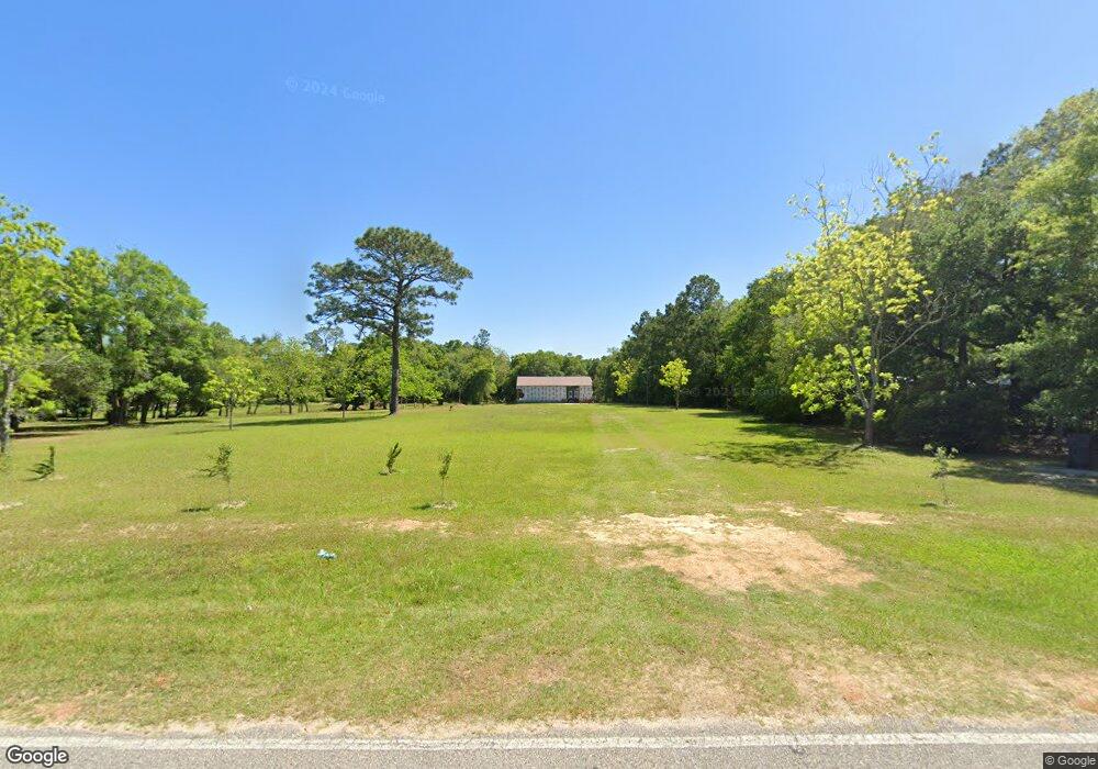
32638 Carrier Dr Lillian, AL 36549
Estimated Value: $307,182
--
Bed
--
Bath
--
Sq Ft
5.5
Acres
About This Home
This home is located at 32638 Carrier Dr, Lillian, AL 36549 and is currently estimated at $307,182. 32638 Carrier Dr is a home located in Baldwin County with nearby schools including Elberta Elementary School, Elberta Middle School, and Elberta High School.
Ownership History
Date
Name
Owned For
Owner Type
Purchase Details
Closed on
May 30, 2024
Sold by
Gibson John A
Bought by
Wiley Forrest Alan and Wiley Susan Marie
Current Estimated Value
Home Financials for this Owner
Home Financials are based on the most recent Mortgage that was taken out on this home.
Original Mortgage
$240,000
Outstanding Balance
$227,178
Interest Rate
6%
Mortgage Type
New Conventional
Estimated Equity
$80,004
Purchase Details
Closed on
May 12, 2022
Sold by
Gibson Nicholette L
Bought by
Gibson John A
Create a Home Valuation Report for This Property
The Home Valuation Report is an in-depth analysis detailing your home's value as well as a comparison with similar homes in the area
Home Values in the Area
Average Home Value in this Area
Purchase History
| Date | Buyer | Sale Price | Title Company |
|---|---|---|---|
| Wiley Forrest Alan | $300,000 | None Listed On Document | |
| Gibson John A | -- | None Listed On Document |
Source: Public Records
Mortgage History
| Date | Status | Borrower | Loan Amount |
|---|---|---|---|
| Open | Wiley Forrest Alan | $240,000 |
Source: Public Records
Tax History Compared to Growth
Tax History
| Year | Tax Paid | Tax Assessment Tax Assessment Total Assessment is a certain percentage of the fair market value that is determined by local assessors to be the total taxable value of land and additions on the property. | Land | Improvement |
|---|---|---|---|---|
| 2024 | $586 | $20,940 | $16,940 | $4,000 |
| 2023 | $443 | $15,820 | $11,920 | $3,900 |
| 2022 | $292 | $10,440 | $0 | $0 |
| 2021 | $8 | $300 | $0 | $0 |
| 2020 | $8 | $300 | $0 | $0 |
| 2019 | $8 | $300 | $0 | $0 |
| 2018 | $8 | $300 | $0 | $0 |
| 2017 | $8 | $300 | $0 | $0 |
| 2016 | $8 | $300 | $0 | $0 |
| 2015 | -- | $300 | $0 | $0 |
| 2014 | -- | $300 | $0 | $0 |
| 2013 | -- | $300 | $0 | $0 |
Source: Public Records
Map
Nearby Homes
- 0 Route Rd Unit 1
- 10257 Lyttleton Loop
- 0 Lantana Dr
- 0 Lyttleton Loop Unit 11
- 33119 Arbor Ridge Cir Unit 15
- 10677 Aloe Ln
- 10675 Aloe Ln
- 32563 Arbor Ridge Cir
- 0 Tarklin View Dr Unit 1 377230
- 10208 County Road 91 Unit 1
- 0 Jessup Ln Unit 26
- 10679 Mahogany Ln
- 32807 N Pickens Ave
- 33003 Albert Hollon Ln Unit 16
- 33260 Woodlands Dr
- 10702 Mahogany Ln
- 33580 Woodlands Dr
- 106 Portage Cir
- 222 Defuniak Loop
- 271 Defuniak Cir
- 0 W Carrier Dr
- W W Carrier Dr
- 0 Star Route Rd Unit 512063
- 0 Route Rd Unit 182101
- 0 Star Route Rd Unit 248826
- 32548 W Carrier Dr
- 000 W Carrier Dr
- 32545 Carrier Dr
- 10303 Route Rd
- 10303 Star Route Rd
- 32448 Carrier Dr
- 10319 Route Rd
- 32597 Carrier Dr
- 32722 Carrier Dr
- 32695 Carrier Dr
- 10287 Route Rd
- 32695 W Carrier Dr
- 32778 Carrier Dr
- 10245 Route Rd
- 32769 Carrier Dr