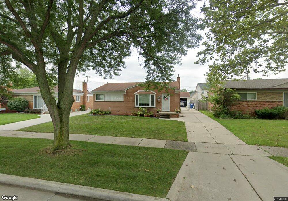
32669 Merritt Dr Westland, MI 48185
Estimated Value: $259,000 - $292,000
--
Bed
1
Bath
1,400
Sq Ft
$195/Sq Ft
Est. Value
About This Home
This home is located at 32669 Merritt Dr, Westland, MI 48185 and is currently estimated at $272,686, approximately $194 per square foot. 32669 Merritt Dr is a home located in Wayne County with nearby schools including Hayes Elementary School, Cooper Upper Elementary School, and Emerson Middle School.
Ownership History
Date
Name
Owned For
Owner Type
Purchase Details
Closed on
Jun 14, 1996
Bought by
Erno David J and Erno Patricia M
Current Estimated Value
Create a Home Valuation Report for This Property
The Home Valuation Report is an in-depth analysis detailing your home's value as well as a comparison with similar homes in the area
Home Values in the Area
Average Home Value in this Area
Purchase History
| Date | Buyer | Sale Price | Title Company |
|---|---|---|---|
| Erno David J | $108,000 | -- |
Source: Public Records
Tax History Compared to Growth
Tax History
| Year | Tax Paid | Tax Assessment Tax Assessment Total Assessment is a certain percentage of the fair market value that is determined by local assessors to be the total taxable value of land and additions on the property. | Land | Improvement |
|---|---|---|---|---|
| 2025 | $2,663 | $124,700 | $0 | $0 |
| 2024 | $2,663 | $115,500 | $0 | $0 |
| 2023 | $2,543 | $106,500 | $0 | $0 |
| 2022 | $2,942 | $93,900 | $0 | $0 |
| 2021 | $2,867 | $91,100 | $0 | $0 |
| 2020 | $2,837 | $87,700 | $0 | $0 |
| 2019 | $2,704 | $85,300 | $0 | $0 |
| 2018 | $2,147 | $70,300 | $0 | $0 |
| 2017 | $948 | $65,600 | $0 | $0 |
| 2016 | $2,569 | $67,000 | $0 | $0 |
| 2015 | $5,193 | $63,610 | $0 | $0 |
| 2013 | $5,031 | $51,470 | $0 | $0 |
| 2012 | $2,323 | $52,330 | $0 | $0 |
Source: Public Records
Map
Nearby Homes
- 32451 Sandra Ln
- 33211 Anita Dr
- 32725 Joy Rd
- 32724 Hees St
- 33312 Lynx St
- 32047 Anita Dr
- 33030 Cowan Rd
- 8332 Berwick Dr
- 32327 Washington St
- 7946 Moonwood Place
- 7436 Cochise St
- 8824 Nevada St
- 7872 Ritz Ave
- 9243 Montana St
- 31640 Ann Arbor Trail
- 8219 Roselawn St
- 32611 Vermont St
- 9212 Idaho St
- 32144 Warren Rd
- 32588 James St
- 32675 Merritt Dr
- 32663 Merritt Dr
- 32657 Merritt Dr
- 32681 Merritt Dr
- 32916 Audreys Way
- 32894 Audreys Way
- 32674 Merritt Dr
- 32872 Audreys Way
- 32666 Merritt Dr
- 8314 Rae Dr
- 32938 Audreys Way
- 32665 Judy Dr
- 32658 Merritt Dr
- 32701 Merritt Dr
- 32659 Judy Dr
- 32650 Merritt Dr
- 32850 Audreys Way
- 8328 Rae Dr
- 32711 Merritt Dr
- 32653 Judy Dr