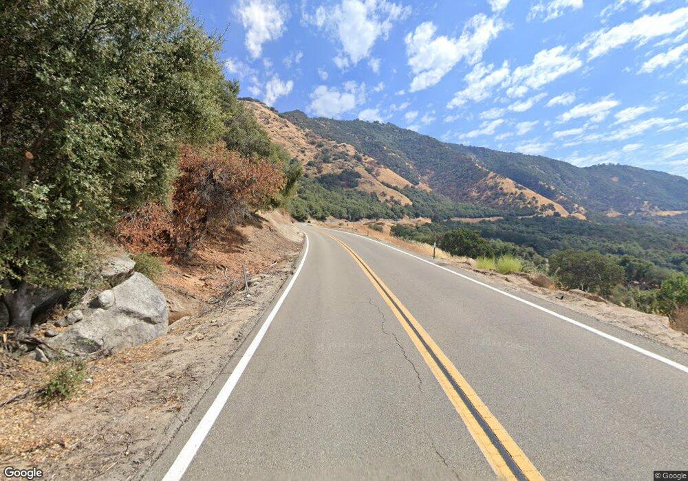
32671 E Highway 180 Rd Dunlap, CA 93621
Estimated Value: $386,000 - $495,000
3
Beds
2
Baths
1,928
Sq Ft
$232/Sq Ft
Est. Value
About This Home
This home is located at 32671 E Highway 180 Rd, Dunlap, CA 93621 and is currently estimated at $446,782, approximately $231 per square foot. 32671 E Highway 180 Rd is a home with nearby schools including Dunlap Elementary School, Reedley High School, and Sequoia Christian School.
Ownership History
Date
Name
Owned For
Owner Type
Purchase Details
Closed on
Apr 29, 2016
Sold by
Cannon Jim L and Cannon Linda
Bought by
Jennings Matthew James and Jennings Christine
Current Estimated Value
Home Financials for this Owner
Home Financials are based on the most recent Mortgage that was taken out on this home.
Original Mortgage
$245,421
Interest Rate
3.61%
Mortgage Type
FHA
Purchase Details
Closed on
May 24, 2007
Sold by
Va
Bought by
Cannon Jimmie L and Cannon Linda
Create a Home Valuation Report for This Property
The Home Valuation Report is an in-depth analysis detailing your home's value as well as a comparison with similar homes in the area
Home Values in the Area
Average Home Value in this Area
Purchase History
| Date | Buyer | Sale Price | Title Company |
|---|---|---|---|
| Jennings Matthew James | $268,000 | Chicago Title Company | |
| Cannon Jimmie L | -- | None Available |
Source: Public Records
Mortgage History
| Date | Status | Borrower | Loan Amount |
|---|---|---|---|
| Previous Owner | Jennings Matthew James | $245,421 |
Source: Public Records
Tax History Compared to Growth
Tax History
| Year | Tax Paid | Tax Assessment Tax Assessment Total Assessment is a certain percentage of the fair market value that is determined by local assessors to be the total taxable value of land and additions on the property. | Land | Improvement |
|---|---|---|---|---|
| 2025 | $3,578 | $317,249 | $88,781 | $228,468 |
| 2023 | $3,479 | $304,933 | $85,335 | $219,598 |
| 2022 | $3,455 | $298,955 | $83,662 | $215,293 |
| 2021 | $3,384 | $293,094 | $82,022 | $211,072 |
| 2020 | $3,390 | $290,089 | $81,181 | $208,908 |
| 2019 | $3,312 | $284,402 | $79,590 | $204,812 |
| 2018 | $5,374 | $278,827 | $78,030 | $200,797 |
| 2017 | $976 | $90,936 | $4,039 | $86,897 |
| 2016 | $951 | $89,154 | $3,960 | $85,194 |
| 2015 | $939 | $87,816 | $3,901 | $83,915 |
| 2014 | $927 | $86,097 | $3,825 | $82,272 |
Source: Public Records
Map
Nearby Homes
- 0 Crane Ln Unit 621659
- 845 Elwood Rd
- 1 Apn: 185-350-44s
- 0 California 180
- 527 Squaw Valley
- 37073 Sand Creek Run
- 295 Ruth Hill Rd
- 35294 Ruth Hill Rd
- 31306 Ruth Hill Rd
- 248 Fawn Ln
- 38176 Cardinal Ln
- N Elwood Rd
- 33379 Buttercup Ln
- 0 Apn 190-160-05s Unit 235517
- 37041 Dunlap Rd
- 0 Ruth Hill Rd Unit 616689
- 0 Ruth Hill Rd Unit 230744
- 0 Ruth Hill Rd Unit FR24165189
- 0 Ruth Hill Rd Unit lot 622537
- 119 Bay Ln
- 32671 Hwy One Eighty
- 32598 E Kings Canyon Rd
- 2175 Silver Ln
- 2149 Silver Ln
- 893 Marlar Ln
- 0 Fulgham Ln
- 2123 Silver Ln
- 881 Winter Rd
- 0 Silver Ln
- 2093 Silver Ln
- 893 Winter Rd
- 0 Winter Rd
- 747 Marlar Ln
- 0 Hwy 180 Unit 130445
- 0 Crane Ln
- 1977 Silver Ln
- 1905 Silver Ln
- 1541 Silver Ln
- 1577 Silver Ln
- 185051 Hwy 180
