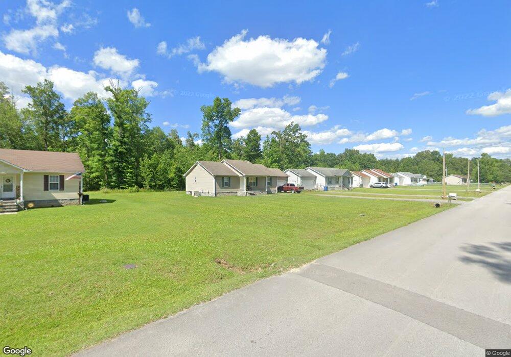
327 Forrestwood Dr Manchester, TN 37355
Estimated Value: $258,429 - $289,000
--
Bed
2
Baths
1,288
Sq Ft
$214/Sq Ft
Est. Value
About This Home
This home is located at 327 Forrestwood Dr, Manchester, TN 37355 and is currently estimated at $275,857, approximately $214 per square foot. 327 Forrestwood Dr is a home located in Coffee County with nearby schools including Westwood Middle School.
Ownership History
Date
Name
Owned For
Owner Type
Purchase Details
Closed on
Apr 1, 2010
Sold by
Secretary Of Housing
Bought by
Community Housing Partnership
Current Estimated Value
Purchase Details
Closed on
Dec 10, 2009
Sold by
Us Bank Na
Bought by
Secretary Of Housing
Purchase Details
Closed on
Sep 17, 2009
Sold by
Brock Alton C
Bought by
Us Bank Na
Purchase Details
Closed on
Dec 14, 2006
Bought by
Mayes Ronald P
Purchase Details
Closed on
Mar 3, 2005
Sold by
Segroves Roland
Bought by
Brock Alton C
Purchase Details
Closed on
Nov 20, 2003
Sold by
Lowe David
Bought by
Segroves Realty Co
Create a Home Valuation Report for This Property
The Home Valuation Report is an in-depth analysis detailing your home's value as well as a comparison with similar homes in the area
Home Values in the Area
Average Home Value in this Area
Purchase History
| Date | Buyer | Sale Price | Title Company |
|---|---|---|---|
| Community Housing Partnership | $74,000 | -- | |
| Secretary Of Housing | $78,532 | -- | |
| Us Bank Na | $78,532 | -- | |
| Mayes Ronald P | $99,000 | -- | |
| Brock Alton C | $73,000 | -- | |
| Segroves Realty Co | $65,000 | -- |
Source: Public Records
Tax History Compared to Growth
Tax History
| Year | Tax Paid | Tax Assessment Tax Assessment Total Assessment is a certain percentage of the fair market value that is determined by local assessors to be the total taxable value of land and additions on the property. | Land | Improvement |
|---|---|---|---|---|
| 2024 | $1,684 | $39,950 | $5,000 | $34,950 |
| 2023 | $1,684 | $39,950 | $0 | $0 |
| 2022 | $1,450 | $39,950 | $5,000 | $34,950 |
| 2021 | $1,337 | $29,175 | $2,500 | $26,675 |
| 2020 | $1,337 | $29,175 | $2,500 | $26,675 |
| 2019 | $1,337 | $29,175 | $2,500 | $26,675 |
| 2018 | $1,337 | $29,175 | $2,500 | $26,675 |
| 2017 | $1,371 | $26,150 | $2,500 | $23,650 |
| 2016 | $1,371 | $26,150 | $2,500 | $23,650 |
| 2015 | $1,372 | $26,150 | $2,500 | $23,650 |
| 2014 | $1,372 | $26,154 | $0 | $0 |
Source: Public Records
Map
Nearby Homes
- 310 Indian Springs Cir
- 913 Indian Springs Cir
- Lot 54 Interstate
- 538 Indian Springs Cir
- 564 Indian Springs Cir
- 0 Forrestwood Dr
- 600 Indian Springs Cir
- 1841 Hills Chapel Rd
- 23 Regalwood Dr
- 0 Sherwood Dr
- 645 Doak Rd
- 874 Doak Rd
- 121 Regalwood Dr
- 1619 Hills Chapel Rd
- 350 Greenbriar Cir
- Lot 51 Philips
- 112 Reynard St
- 31 Spring House Dr
- 401 Doak Rd
- 383 Doak Rd
- 345 Forrestwood Dr
- 307 Forrestwood Dr
- 1 Forrestwood Dr
- 7 Forrestwood Dr
- 367 Forrestwood Dr
- 287 Forrestwood Dr
- 320 Forrestwood Dr
- 338 Forrestwood Dr
- 385 Forrestwood Dr
- 269 Forrestwood Dr
- 300 Forrestwood Dr
- 360 Forrestwood Dr
- 328 Indian Springs Cir
- 346 Indian Springs Cir
- 282 Forrestwood Dr
- 368 Indian Springs Cir
- 290 Indian Springs Cir
- 251 Forrestwood Dr
- 262 Forrestwood Dr
- 37 Woody Ln