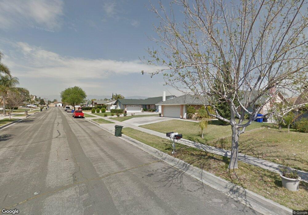
327 N Smoke Tree Ave Rialto, CA 92376
Estimated Value: $561,391 - $637,000
4
Beds
2
Baths
1,485
Sq Ft
$397/Sq Ft
Est. Value
About This Home
This home is located at 327 N Smoke Tree Ave, Rialto, CA 92376 and is currently estimated at $589,598, approximately $397 per square foot. 327 N Smoke Tree Ave is a home located in San Bernardino County with nearby schools including Charlotte N. Werner Elementary School, Rialto Middle School, and Wilmer Amina Carter High School.
Ownership History
Date
Name
Owned For
Owner Type
Purchase Details
Closed on
Sep 13, 1993
Sold by
Lizardo Rodolfo and Lizardo Gloria
Bought by
Lizardo Everardo
Current Estimated Value
Home Financials for this Owner
Home Financials are based on the most recent Mortgage that was taken out on this home.
Original Mortgage
$106,914
Interest Rate
6.95%
Mortgage Type
FHA
Create a Home Valuation Report for This Property
The Home Valuation Report is an in-depth analysis detailing your home's value as well as a comparison with similar homes in the area
Home Values in the Area
Average Home Value in this Area
Purchase History
| Date | Buyer | Sale Price | Title Company |
|---|---|---|---|
| Lizardo Everardo | -- | World Title Co |
Source: Public Records
Mortgage History
| Date | Status | Borrower | Loan Amount |
|---|---|---|---|
| Previous Owner | Lizardo Everardo | $106,914 |
Source: Public Records
Tax History Compared to Growth
Tax History
| Year | Tax Paid | Tax Assessment Tax Assessment Total Assessment is a certain percentage of the fair market value that is determined by local assessors to be the total taxable value of land and additions on the property. | Land | Improvement |
|---|---|---|---|---|
| 2025 | $2,979 | $220,771 | $55,191 | $165,580 |
| 2024 | $2,979 | $216,442 | $54,109 | $162,333 |
| 2023 | $3,149 | $212,198 | $53,048 | $159,150 |
| 2022 | $2,914 | $208,037 | $52,008 | $156,029 |
| 2021 | $2,896 | $203,958 | $50,988 | $152,970 |
| 2020 | $2,902 | $201,866 | $50,465 | $151,401 |
| 2019 | $2,842 | $197,907 | $49,475 | $148,432 |
| 2018 | $2,746 | $194,027 | $48,505 | $145,522 |
| 2017 | $2,648 | $190,223 | $47,554 | $142,669 |
| 2016 | $2,359 | $186,494 | $46,622 | $139,872 |
| 2015 | $2,368 | $183,693 | $45,922 | $137,771 |
| 2014 | $2,225 | $180,094 | $45,022 | $135,072 |
Source: Public Records
Map
Nearby Homes
- 250 N Linden Ave Unit 124
- 250 N Linden Ave Unit 250
- 250 N Linden Ave Unit 9
- 250 N Linden Ave Unit 327
- 250 N Linden Ave Unit 246
- 250 N Linden Ave Unit 223
- 250 N Linden Ave
- 250 N Linden Ave Unit 57
- 291 N Church Ave
- 2505 W Foothill Blvd Unit 67
- 193 N Maple Ave
- 357 N Maple Ave
- 18100 Arrow Blvd
- 1100 W Foothill Blvd
- 440 N Glenwood Ave
- 1079 W Clover Ave
- 18239 Orange Way
- 975 W Clover Ave
- 425 N Beechwood Ave
- 1314 W Victoria St
- 333 N Smoke Tree Ave
- 321 N Smoke Tree Ave
- 332 N Aspen Ave
- 338 N Aspen Ave
- 326 N Aspen Ave
- 339 N Smoke Tree Ave
- 315 N Smoke Tree Ave
- 328 N Smoke Tree Ave
- 344 N Aspen Ave
- 320 N Aspen Ave
- 334 N Smoke Tree Ave
- 322 N Smoke Tree Ave
- 345 N Smoke Tree Ave
- 309 N Smoke Tree Ave
- 340 N Smoke Tree Ave
- 316 N Smoke Tree Ave
- 314 N Aspen Ave
- 350 N Aspen Ave
- 346 N Smoke Tree Ave
- 310 N Smoke Tree Ave