3270 Enterprise Rd E Safety Harbor, FL 34695
Estimated Value: $906,000 - $1,144,000
4
Beds
4
Baths
3,367
Sq Ft
$310/Sq Ft
Est. Value
About This Home
This home is located at 3270 Enterprise Rd E, Safety Harbor, FL 34695 and is currently estimated at $1,044,524, approximately $310 per square foot. 3270 Enterprise Rd E is a home located in Pinellas County with nearby schools including Leila Davis Elementary School, Countryside High School, and Safety Harbor Middle School.
Ownership History
Date
Name
Owned For
Owner Type
Purchase Details
Closed on
Dec 5, 2016
Sold by
Demoustes Carey L and Demoustes Family Revocable Tru
Bought by
Harper John David and Harper Laura P
Current Estimated Value
Home Financials for this Owner
Home Financials are based on the most recent Mortgage that was taken out on this home.
Original Mortgage
$406,850
Outstanding Balance
$326,270
Interest Rate
3.47%
Mortgage Type
New Conventional
Estimated Equity
$718,254
Purchase Details
Closed on
Oct 21, 2010
Sold by
Demoustes Alexander A and Demoustes Roberta Hilton
Bought by
Demoustes Alexander A and Demoustes Roberta Hilton
Create a Home Valuation Report for This Property
The Home Valuation Report is an in-depth analysis detailing your home's value as well as a comparison with similar homes in the area
Home Values in the Area
Average Home Value in this Area
Purchase History
| Date | Buyer | Sale Price | Title Company |
|---|---|---|---|
| Harper John David | $508,600 | Attorney | |
| Demoustes Alexander A | -- | Attorney |
Source: Public Records
Mortgage History
| Date | Status | Borrower | Loan Amount |
|---|---|---|---|
| Open | Harper John David | $406,850 |
Source: Public Records
Tax History
| Year | Tax Paid | Tax Assessment Tax Assessment Total Assessment is a certain percentage of the fair market value that is determined by local assessors to be the total taxable value of land and additions on the property. | Land | Improvement |
|---|---|---|---|---|
| 2025 | $7,373 | $469,862 | -- | -- |
| 2024 | $7,201 | $456,620 | -- | -- |
| 2023 | $7,201 | $443,320 | $0 | $0 |
| 2022 | $7,077 | $430,408 | $0 | $0 |
| 2021 | $7,248 | $417,872 | $0 | $0 |
| 2020 | $7,411 | $412,103 | $0 | $0 |
| 2019 | $6,693 | $369,524 | $0 | $0 |
| 2018 | $6,650 | $362,634 | $0 | $0 |
| 2017 | $8,898 | $425,029 | $0 | $0 |
| 2016 | $8,561 | $402,730 | $0 | $0 |
| 2015 | $8,573 | $394,843 | $0 | $0 |
| 2014 | $5,238 | $279,068 | $0 | $0 |
Source: Public Records
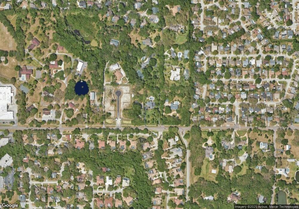
Map
Nearby Homes
- 1609 Hampton Ct
- 1735 Tall Pine Cir
- 3321 Meander Ln
- 2303 Oxford Ct
- 1736 Pine Creek Ct
- 2225 Windsong Ct
- 625 Fayette Dr S
- 45 Turnstone Dr
- 1812 Pine Hill Dr
- 3 Booth Blvd
- 167 Woodcreek Dr W
- 612 Fairmont Ave Unit D
- 3078 Eastland Blvd Unit 107
- 3078 Eastland Blvd Unit 411
- 3062 Eastland Blvd Unit 105
- 3062 Eastland Blvd Unit 406
- 3062 Eastland Blvd Unit 308
- 2363 Flanders Way Unit C
- 2368 Flanders Way Unit D
- 1009 Wyndham Way
- 3280 Enterprise Rd E
- 3000 Hargett Ln
- 3250 Enterprise Rd E
- 1607 Huntington Ln
- 3002 Hargett Ln
- 2416 Huntington Blvd
- 2419 Huntington Blvd
- 3266 Enterprise Rd E
- 1606 Huntington Place
- 121 Harbor Woods Cir
- 3246 Enterprise Rd E
- 117 Harbor Woods Cir
- 3302 Enterprise Rd E
- 2414 Huntington Blvd
- 1608 Huntington Place
- 115 Harbor Woods Cir
- 123 Harbor Woods Cir
- 111 Harbor Woods Cir
- 2417 Huntington Blvd
- 3304 Enterprise Rd E
Your Personal Tour Guide
Ask me questions while you tour the home.