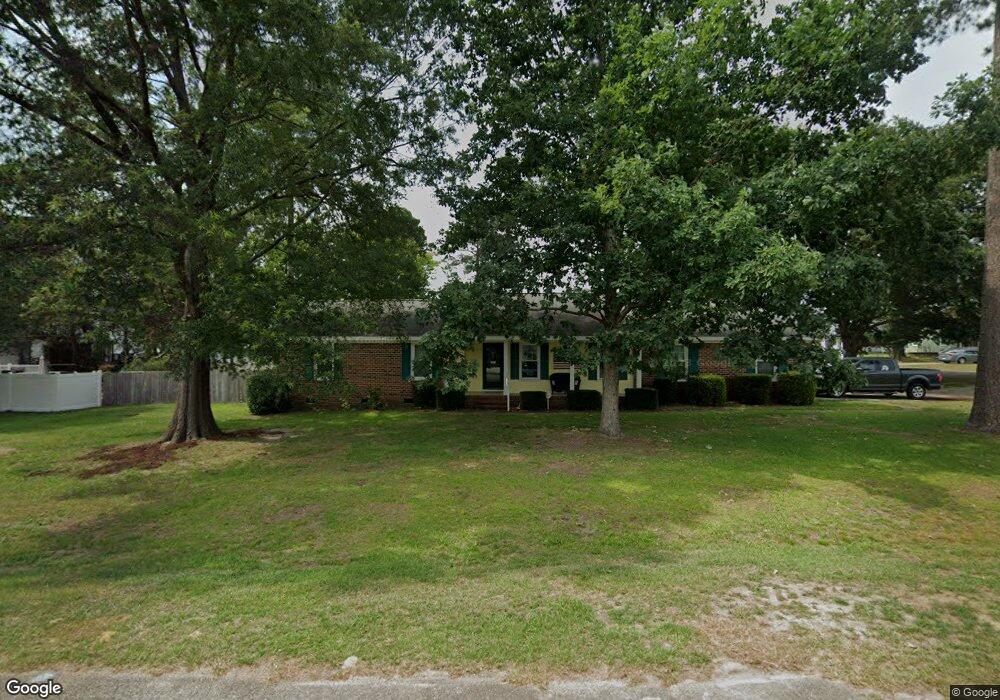
3272 Alforodo St Fayetteville, NC 28306
Jack Britt NeighborhoodEstimated Value: $239,321 - $284,000
3
Beds
2
Baths
1,448
Sq Ft
$181/Sq Ft
Est. Value
About This Home
This home is located at 3272 Alforodo St, Fayetteville, NC 28306 and is currently estimated at $262,080, approximately $180 per square foot. 3272 Alforodo St is a home located in Cumberland County with nearby schools including Stoney Point Elementary School, John R. Griffin Middle School, and Rockfish Christian Academy.
Ownership History
Date
Name
Owned For
Owner Type
Purchase Details
Closed on
Mar 27, 2002
Sold by
Cox Kimberly A
Bought by
Thaxton James W
Current Estimated Value
Home Financials for this Owner
Home Financials are based on the most recent Mortgage that was taken out on this home.
Original Mortgage
$86,400
Outstanding Balance
$35,919
Interest Rate
6.85%
Mortgage Type
New Conventional
Estimated Equity
$226,161
Purchase Details
Closed on
Apr 20, 1999
Sold by
Kotulan William
Bought by
Cox Kimberly A
Home Financials for this Owner
Home Financials are based on the most recent Mortgage that was taken out on this home.
Original Mortgage
$106,080
Interest Rate
7.06%
Create a Home Valuation Report for This Property
The Home Valuation Report is an in-depth analysis detailing your home's value as well as a comparison with similar homes in the area
Home Values in the Area
Average Home Value in this Area
Purchase History
| Date | Buyer | Sale Price | Title Company |
|---|---|---|---|
| Thaxton James W | $108,000 | -- | |
| Cox Kimberly A | $104,000 | -- |
Source: Public Records
Mortgage History
| Date | Status | Borrower | Loan Amount |
|---|---|---|---|
| Open | Thaxton James W | $86,400 | |
| Previous Owner | Cox Kimberly A | $106,080 |
Source: Public Records
Tax History Compared to Growth
Tax History
| Year | Tax Paid | Tax Assessment Tax Assessment Total Assessment is a certain percentage of the fair market value that is determined by local assessors to be the total taxable value of land and additions on the property. | Land | Improvement |
|---|---|---|---|---|
| 2024 | $2,888 | $120,864 | $20,000 | $100,864 |
| 2023 | $2,313 | $120,864 | $20,000 | $100,864 |
| 2022 | $2,071 | $120,864 | $20,000 | $100,864 |
| 2021 | $2,071 | $120,864 | $20,000 | $100,864 |
| 2019 | $2,036 | $132,300 | $20,000 | $112,300 |
| 2018 | $2,036 | $132,300 | $20,000 | $112,300 |
| 2017 | $1,933 | $132,300 | $20,000 | $112,300 |
| 2016 | $1,821 | $135,900 | $20,000 | $115,900 |
| 2015 | $1,803 | $135,900 | $20,000 | $115,900 |
| 2014 | $1,796 | $135,900 | $20,000 | $115,900 |
Source: Public Records
Map
Nearby Homes
- 6527 Bagdad Rd
- 3300 Brushy Hill Rd
- 3609 Camson Rd
- 3604 Camson Rd
- Lot 1 Braddy Rd
- Lot 2 Braddy Rd
- 7201 Jarmon Ct
- The Sakamoto Plan at Westhaven
- The Huntington Plan at Westhaven
- The Patriot Plan at Westhaven
- The Echo Plan at Westhaven
- 1939 Thomas Wood (Lot 99) Dr
- 1935 Thomas Wood (Lot 100) Dr
- 1931 Thomas Wood (Lot 101) Dr
- 1923 Thomas Wood (Lot 103) Dr
- 1915 Thomas Wood (Lot 104) Dr
- 3430 Broomsgrove Dr
- 1910 Thomas Wood (Lot 73) Dr
- 3268 Alforodo St
- 6504 Bagdad Rd
- 6501 Bagdad Rd
- 3273 Alforodo St
- 6505 Bagdad Rd
- 3264 Alforodo St
- 3271 Yarmouth Dr
- 3277 Alforodo St
- 3269 Alforodo St
- 3281 Alforodo St
- 3267 Yarmouth Dr
- 3265 Alforodo St
- 3283 Yarmouth Dr
- 3260 Alforodo St
- 3288 Alforodo St
- 3263 Yarmouth Dr
- 3285 Alforodo St
- 3326 Wayne Ln
- 3314 Wayne Ln
- 3276 Yarmouth Dr