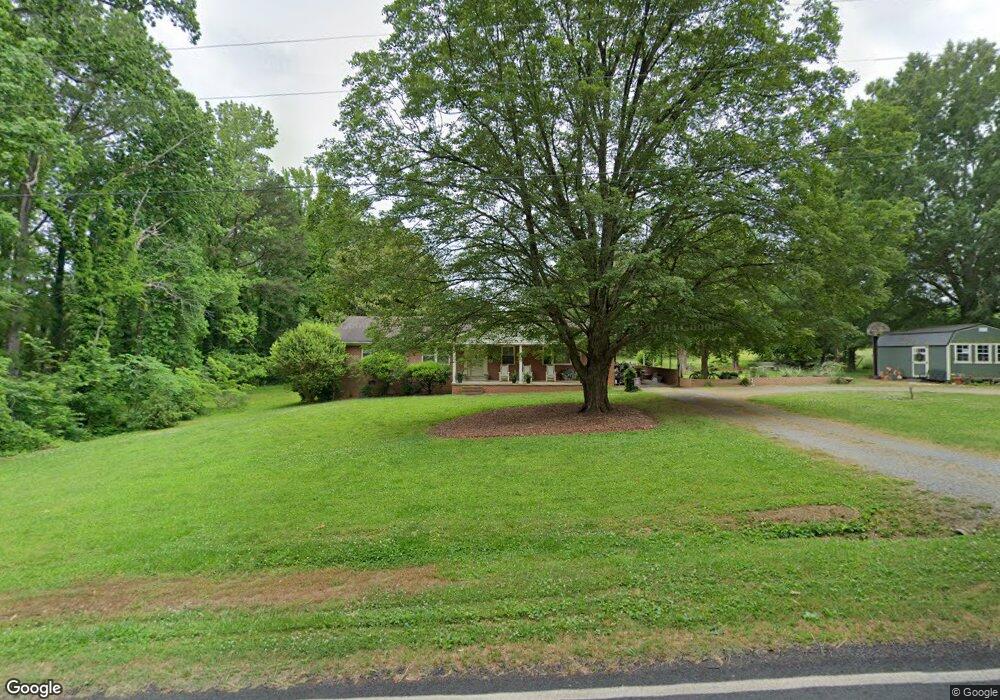
3273 Crousetown Rd Denton, NC 27239
Estimated Value: $261,000 - $331,000
3
Beds
2
Baths
3,024
Sq Ft
$95/Sq Ft
Est. Value
About This Home
This home is located at 3273 Crousetown Rd, Denton, NC 27239 and is currently estimated at $287,323, approximately $95 per square foot. 3273 Crousetown Rd is a home located in Davidson County with nearby schools including Denton Elementary School and South Davidson Middle and High School.
Ownership History
Date
Name
Owned For
Owner Type
Purchase Details
Closed on
Jan 3, 2023
Sold by
Owen Luther Douglas and Owen Robin S
Bought by
Owen Gregory A
Current Estimated Value
Home Financials for this Owner
Home Financials are based on the most recent Mortgage that was taken out on this home.
Original Mortgage
$60,000
Outstanding Balance
$58,138
Interest Rate
6.58%
Mortgage Type
Credit Line Revolving
Estimated Equity
$229,185
Purchase Details
Closed on
Nov 22, 2006
Sold by
Owen Luther W and Owen Viola A
Bought by
Owen Viola A
Purchase Details
Closed on
Oct 27, 2004
Sold by
Owen Luther W
Bought by
Owen Luther W and Owen Viola A
Purchase Details
Closed on
Jan 2, 2004
Sold by
Owen Luther W
Bought by
Owen Luther W
Create a Home Valuation Report for This Property
The Home Valuation Report is an in-depth analysis detailing your home's value as well as a comparison with similar homes in the area
Purchase History
| Date | Buyer | Sale Price | Title Company |
|---|---|---|---|
| Owen Gregory A | $76,000 | -- | |
| Owen Viola A | -- | None Available | |
| Owen Luther W | -- | -- | |
| Owen Luther W | -- | -- |
Source: Public Records
Mortgage History
| Date | Status | Borrower | Loan Amount |
|---|---|---|---|
| Open | Owen Gregory A | $60,000 |
Source: Public Records
Tax History
| Year | Tax Paid | Tax Assessment Tax Assessment Total Assessment is a certain percentage of the fair market value that is determined by local assessors to be the total taxable value of land and additions on the property. | Land | Improvement |
|---|---|---|---|---|
| 2025 | $1,166 | $184,980 | $0 | $0 |
| 2024 | $1,166 | $184,980 | $0 | $0 |
| 2023 | $1,166 | $184,980 | $0 | $0 |
| 2022 | $1,166 | $184,980 | $0 | $0 |
| 2021 | $1,166 | $184,980 | $0 | $0 |
| 2020 | $922 | $146,240 | $0 | $0 |
| 2019 | $907 | $146,240 | $0 | $0 |
| 2018 | $858 | $142,940 | $0 | $0 |
| 2017 | $858 | $142,940 | $0 | $0 |
| 2016 | $858 | $142,940 | $0 | $0 |
| 2015 | $858 | $142,940 | $0 | $0 |
| 2014 | $907 | $151,200 | $0 | $0 |
Source: Public Records
Map
Nearby Homes
- 1726 Garner Rd
- 1165 Canaan Church Rd
- 301 Crouse Mountain Ln
- 0 Nc Highway 47
- 2511 Cid Rd
- 532 N Main St
- 0 Clara Hill Ln
- 308 Clara Hill Ln
- 356 Eastside Dr
- 148 Garner St
- 61 Haywood St
- 130 Garner St
- 434 E Salisbury St
- 398 E Salisbury St
- 178 E Salisbury St
- 108 N Bingham St
- 17980 S Nc Highway 109
- 166 S Main St
- 248 Wedgewood Dr
- 367 Wedgewood Dr
- 3215 Crousetown Rd
- 3207 Crousetown Rd
- 3214 Crousetown Rd
- 2278 Garner Rd
- 1990 Garner Rd
- 1950 Garner Rd
- 3280 Crousetown Rd
- 3023 Crousetown Rd
- 0 Crousetown Rd
- 00000000 Crousetown Rd
- 00000 Crousetown Rd
- 0000 Crousetown Rd
- 0000000 Crousetown Rd
- 000 Crousetown Rd
- 00 Crousetown Rd
- 2277 Garner Rd
- 1912 Garner Rd
- 1917 Garner Rd
- 1917 Garner Rd
- 3200 Crousetown Rd
Your Personal Tour Guide
Ask me questions while you tour the home.