Estimated Value: $287,851 - $315,000
4
Beds
1
Bath
1,536
Sq Ft
$194/Sq Ft
Est. Value
About This Home
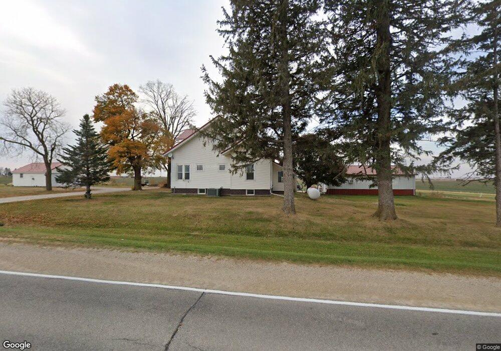
This home is located at 32738 160th St, Dike, IA 50624 and is currently estimated at $297,284, approximately $193 per square foot. 32738 160th St is a home located in Grundy County with nearby schools including Dike Elementary School, New Hartford Elementary School, and Dike-New Hartford Junior High School.
Ownership History
Date
Name
Owned For
Owner Type
Purchase Details
Closed on
May 15, 2017
Sold by
Runge Taylor W
Bought by
Bagenstos Clint A and Bagenstos Jenny L
Current Estimated Value
Home Financials for this Owner
Home Financials are based on the most recent Mortgage that was taken out on this home.
Original Mortgage
$20,500
Outstanding Balance
$10,737
Interest Rate
3.97%
Mortgage Type
New Conventional
Estimated Equity
$286,547
Create a Home Valuation Report for This Property
The Home Valuation Report is an in-depth analysis detailing your home's value as well as a comparison with similar homes in the area
Home Values in the Area
Average Home Value in this Area
Purchase History
| Date | Buyer | Sale Price | Title Company |
|---|---|---|---|
| Bagenstos Clint A | -- | None Available |
Source: Public Records
Mortgage History
| Date | Status | Borrower | Loan Amount |
|---|---|---|---|
| Open | Bagenstos Clint A | $20,500 | |
| Open | Bagenstos Clint A | $184,500 |
Source: Public Records
Tax History Compared to Growth
Tax History
| Year | Tax Paid | Tax Assessment Tax Assessment Total Assessment is a certain percentage of the fair market value that is determined by local assessors to be the total taxable value of land and additions on the property. | Land | Improvement |
|---|---|---|---|---|
| 2024 | $3,138 | $251,670 | $60,860 | $190,810 |
| 2023 | $3,050 | $251,670 | $60,860 | $190,810 |
| 2022 | $2,684 | $207,300 | $55,240 | $152,060 |
| 2021 | $2,684 | $207,300 | $55,240 | $152,060 |
| 2020 | $2,598 | $195,960 | $55,240 | $140,720 |
| 2019 | $1,422 | $109,611 | $0 | $0 |
| 2018 | $1,336 | $105,961 | $0 | $0 |
| 2017 | $1,352 | $107,361 | $0 | $0 |
| 2016 | $1,352 | $107,361 | $0 | $0 |
| 2015 | $1,352 | $106,675 | $0 | $0 |
| 2014 | $1,338 | $106,844 | $0 | $0 |
Source: Public Records
Map
Nearby Homes
- 0 N Pioneer
- 980 Fox Ridge Rd
- 400 E Elder St
- 14949 W Ave
- 607 4th St Unit North unit
- 617 4th St Unit middle unit
- 149 2nd St
- 12643 N Pioneer
- 3 150th St
- 5 150th St
- 4 150th St
- 2 150th St
- 1 150th St
- 5417 Fernwood Dr
- 27594 150th St
- 2820 Autumn Woods Dr
- 2832 Autumn Woods Dr
- 2826 Autumn Woods Dr
- 3015 Timber Cove Dr
- 2819 Autumn Woods Dr