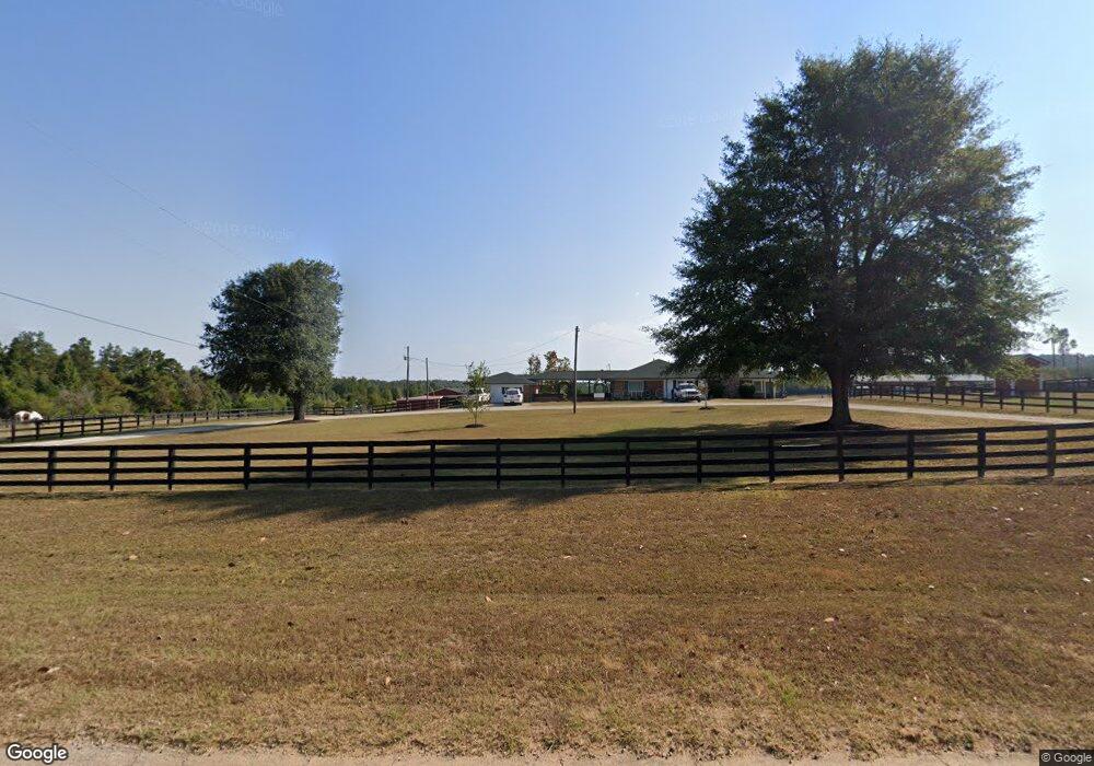
328 Brook Rd Barnesville, GA 30204
Estimated Value: $485,000 - $593,528
3
Beds
2
Baths
2,738
Sq Ft
$197/Sq Ft
Est. Value
About This Home
This home is located at 328 Brook Rd, Barnesville, GA 30204 and is currently estimated at $539,264, approximately $196 per square foot. 328 Brook Rd is a home with nearby schools including Lamar County Primary School, Lamar County Elementary School, and Lamar County Middle School.
Ownership History
Date
Name
Owned For
Owner Type
Purchase Details
Closed on
Jul 31, 2014
Sold by
Chester Robert
Bought by
Chester Robert K and Chester Cheryl A
Current Estimated Value
Purchase Details
Closed on
Sep 24, 2001
Sold by
Chester Robert
Bought by
Chester Robert and Goodberlet Cheryl
Purchase Details
Closed on
Feb 8, 1999
Sold by
Johnson Raymond L
Bought by
Chester Robert
Create a Home Valuation Report for This Property
The Home Valuation Report is an in-depth analysis detailing your home's value as well as a comparison with similar homes in the area
Purchase History
| Date | Buyer | Sale Price | Title Company |
|---|---|---|---|
| Chester Robert K | -- | -- | |
| Chester Robert | -- | -- | |
| Chester Robert | $150,000 | -- |
Source: Public Records
Tax History
| Year | Tax Paid | Tax Assessment Tax Assessment Total Assessment is a certain percentage of the fair market value that is determined by local assessors to be the total taxable value of land and additions on the property. | Land | Improvement |
|---|---|---|---|---|
| 2025 | $3,785 | $217,722 | $64,622 | $153,100 |
| 2024 | $3,727 | $200,292 | $64,622 | $135,670 |
| 2023 | $3,827 | $193,508 | $64,622 | $128,886 |
| 2022 | $3,398 | $167,922 | $54,436 | $113,486 |
| 2021 | $3,254 | $140,352 | $40,418 | $99,934 |
| 2020 | $3,801 | $121,969 | $43,272 | $78,697 |
| 2019 | $3,810 | $121,969 | $43,272 | $78,697 |
| 2018 | $3,358 | $112,090 | $43,272 | $68,818 |
| 2017 | $3,340 | $112,090 | $43,272 | $68,818 |
| 2016 | $3,341 | $112,090 | $43,272 | $68,818 |
| 2015 | $3,394 | $112,090 | $43,272 | $68,818 |
| 2014 | $3,290 | $112,090 | $43,272 | $68,818 |
| 2013 | -- | $112,090 | $43,271 | $68,818 |
Source: Public Records
Map
Nearby Homes
- 329 Brook Rd
- 362 Brook Rd
- 507 N Ridge Rd
- 218 City Pond Rd
- 0 Veterans Unit 23619323
- 0 Veterans Unit 10429448
- 0 Veterans Unit 10675698
- 125 Red Oak Dr
- 123 Fredonia Church Rd
- 880 Johnstonville Rd
- LOT 112 Cole Forest Blvd
- 103 Mcginnis Glen
- 277 Cole Forest Blvd
- 278 Cole Forest Blvd
- 206 Cole Forest Blvd
- 225 Cole Forest Blvd
- V L Silver Dollar Rd
- 0 Crawford Rd Unit 10611435
- 0 Roberts Rd Unit 10593586
- 603 Silver Dollar Rd