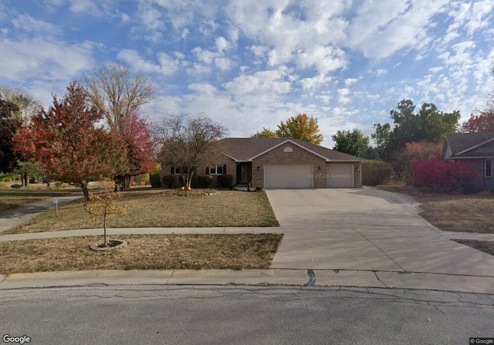
328 Crystal St Ames, IA 50010
Mitchell NeighborhoodEstimated Value: $448,308 - $466,000
5
Beds
4
Baths
2,032
Sq Ft
$225/Sq Ft
Est. Value
About This Home
This home is located at 328 Crystal St, Ames, IA 50010 and is currently estimated at $456,327, approximately $224 per square foot. 328 Crystal St is a home located in Story County with nearby schools including Mitchell Elementary School, Ames Middle School, and Ames High School.
Ownership History
Date
Name
Owned For
Owner Type
Purchase Details
Closed on
Jun 10, 2025
Sold by
Hanson Todd David and Hanson Rebecca Joy
Bought by
Hanson Family Trust and Hanson
Current Estimated Value
Purchase Details
Closed on
Aug 13, 2020
Sold by
Devine Thomas M and Peria Erma L
Bought by
Devine Thomas M and Peria Erma L
Purchase Details
Closed on
Sep 20, 2008
Sold by
Vu John H and Phan Tram P
Bought by
Hanson Todd David and Hanson Rebecca Joy Corn
Home Financials for this Owner
Home Financials are based on the most recent Mortgage that was taken out on this home.
Original Mortgage
$195,000
Interest Rate
5.94%
Mortgage Type
New Conventional
Create a Home Valuation Report for This Property
The Home Valuation Report is an in-depth analysis detailing your home's value as well as a comparison with similar homes in the area
Home Values in the Area
Average Home Value in this Area
Purchase History
| Date | Buyer | Sale Price | Title Company |
|---|---|---|---|
| Hanson Family Trust | -- | None Listed On Document | |
| Devine Thomas M | -- | None Available | |
| Hanson Todd David | $300,000 | None Available |
Source: Public Records
Mortgage History
| Date | Status | Borrower | Loan Amount |
|---|---|---|---|
| Previous Owner | Hanson Todd David | $195,000 |
Source: Public Records
Tax History
| Year | Tax Paid | Tax Assessment Tax Assessment Total Assessment is a certain percentage of the fair market value that is determined by local assessors to be the total taxable value of land and additions on the property. | Land | Improvement |
|---|---|---|---|---|
| 2025 | $5,736 | $450,800 | $80,600 | $370,200 |
| 2024 | $5,612 | $405,600 | $83,600 | $322,000 |
| 2023 | $5,476 | $405,600 | $83,600 | $322,000 |
| 2022 | $5,406 | $334,300 | $83,600 | $250,700 |
| 2021 | $5,644 | $334,300 | $83,600 | $250,700 |
| 2020 | $5,560 | $329,400 | $82,400 | $247,000 |
| 2019 | $5,560 | $329,400 | $82,400 | $247,000 |
| 2018 | $5,602 | $329,400 | $82,400 | $247,000 |
| 2017 | $5,602 | $329,400 | $82,400 | $247,000 |
| 2016 | $5,606 | $327,100 | $63,300 | $263,800 |
| 2015 | $5,606 | $327,100 | $63,300 | $263,800 |
| 2014 | $5,440 | $311,500 | $60,300 | $251,200 |
Source: Public Records
Map
Nearby Homes
- 215 Jewel Dr Unit 1-8
- 310 Topaz Ct
- 613 Meadow Place
- 3412 Southdale Dr
- 714 Garden Rd
- 2400 SE 16th St
- 2934 Green Hills Dr
- 816 Salk Ave
- 220 S Maple Ave
- 2516 White Oak Dr
- Lot 9 Ansley Ave
- Lot 13 Ansley Ave
- 3419 Ansley Ave
- Lot 7 Ansley Ave
- Lot 12 Ansley Ave
- Lot 6 Ansley Ave
- Lot 5 Ansley Ave
- Lot 2 Ansley Ave
- Lot 15 Ansley Ave
- Lot 11 Ansley Ave
Your Personal Tour Guide
Ask me questions while you tour the home.