3280 Chief White Bird Trail Laurel, MT 59044
Estimated Value: $554,000 - $715,943
3
Beds
3
Baths
2,248
Sq Ft
$293/Sq Ft
Est. Value
About This Home
This home is located at 3280 Chief White Bird Trail, Laurel, MT 59044 and is currently estimated at $659,648, approximately $293 per square foot. 3280 Chief White Bird Trail is a home located in Yellowstone County with nearby schools including Fred W. Graff School, West School, and Laurel Middle School.
Ownership History
Date
Name
Owned For
Owner Type
Purchase Details
Closed on
Jun 17, 2010
Sold by
Fitch Jeffrey T and Fitch Heidi J
Bought by
Oven Jeffery and Oven Elizabeth
Current Estimated Value
Home Financials for this Owner
Home Financials are based on the most recent Mortgage that was taken out on this home.
Original Mortgage
$346,750
Outstanding Balance
$230,676
Interest Rate
4.82%
Mortgage Type
New Conventional
Estimated Equity
$428,972
Create a Home Valuation Report for This Property
The Home Valuation Report is an in-depth analysis detailing your home's value as well as a comparison with similar homes in the area
Home Values in the Area
Average Home Value in this Area
Purchase History
| Date | Buyer | Sale Price | Title Company |
|---|---|---|---|
| Oven Jeffery | -- | None Available |
Source: Public Records
Mortgage History
| Date | Status | Borrower | Loan Amount |
|---|---|---|---|
| Open | Oven Jeffery | $346,750 |
Source: Public Records
Tax History Compared to Growth
Tax History
| Year | Tax Paid | Tax Assessment Tax Assessment Total Assessment is a certain percentage of the fair market value that is determined by local assessors to be the total taxable value of land and additions on the property. | Land | Improvement |
|---|---|---|---|---|
| 2025 | $3,492 | $618,096 | $68,556 | $549,540 |
| 2024 | $3,492 | $509,748 | $63,348 | $446,400 |
| 2023 | $3,464 | $509,748 | $63,348 | $446,400 |
| 2022 | $2,803 | $423,373 | $0 | $0 |
| 2021 | $2,970 | $423,373 | $0 | $0 |
| 2020 | $2,712 | $376,590 | $0 | $0 |
| 2019 | $2,599 | $376,590 | $0 | $0 |
| 2018 | $2,862 | $357,286 | $0 | $0 |
| 2017 | $2,401 | $357,286 | $0 | $0 |
| 2016 | $2,459 | $324,558 | $0 | $0 |
| 2015 | $2,354 | $324,558 | $0 | $0 |
| 2014 | $2,271 | $166,664 | $0 | $0 |
Source: Public Records
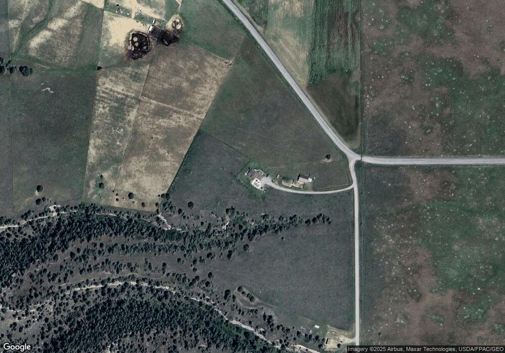
Map
Nearby Homes
- 2900 Chief White Bird Trail
- 4728 Clapper Flat Rd
- 1450 Red and King Gulch Rd
- 1712 Paynes Place
- 1003 Duval Dr
- 1960 Coyote Ridge Rd N
- TBD Lot 2 Lori Rae Ln
- TBD Lot 1 Lori Rae Ln
- TBD 17th Ave
- 413 Golf Course Rd
- TBD Block 3 Lot 6
- TBD Block 1 Lot 2
- 1014 Rochelle Ln
- TBD Block 3 Lot 4
- TBD Block 1 Lot 3
- TBD Block 3 Lot 1
- TBD Block 3 Lot 9
- TBD Wold Rd
- 0 Coombs Flat Rd
- 1106 W 12th St
- 3024 Chief White Bird Trail
- 4420 Clapper Flat Rd
- 2980 Chief White Bird Trail
- TBD Clapper Flat Rd
- 0 Clapper Flat Rd
- 4610 Clapper Flat Rd
- 2860 Chief White Bird Trail
- 00 Chief White Bird Trail
- 0 Chief White Bird Trail
- 3111 Chief Looking Glass Rd
- 4646 Clapper Flat Rd
- 2800 Chief White Bird Trail
- 3203 Chief Looking Glass Rd
- 2770 Chief White Bird Trail
- 000 Chief Looking Glass Rd
- 3103 Chief Looking Glass Rd
- 3300 Chief Looking Glass Rd
- 3166 Chief Looking Glass Rd
- 2600 Chief White Bird Trail
- 5015 Clapper Flat Rd