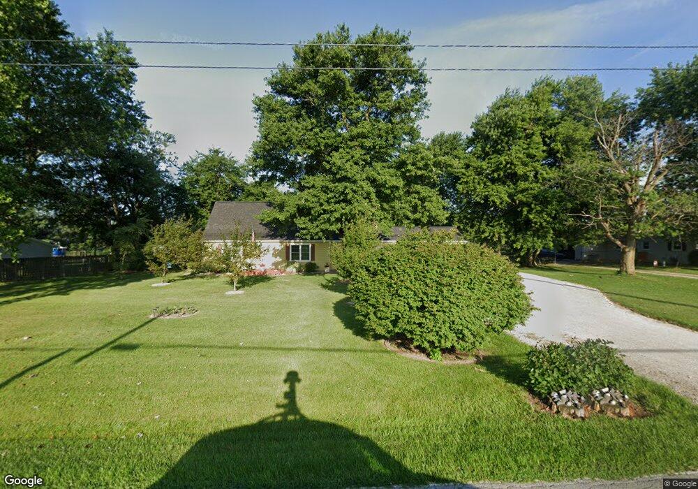
3282 S 575 E Whitestown, IN 46075
Estimated Value: $297,000 - $378,000
4
Beds
2
Baths
2,036
Sq Ft
$169/Sq Ft
Est. Value
About This Home
This home is located at 3282 S 575 E, Whitestown, IN 46075 and is currently estimated at $344,381, approximately $169 per square foot. 3282 S 575 E is a home located in Boone County with nearby schools including Perry Worth Elementary School, Lebanon Middle School, and Lebanon Senior High School.
Ownership History
Date
Name
Owned For
Owner Type
Purchase Details
Closed on
Feb 21, 2020
Sold by
Lynch Miranda
Bought by
Roberts Dennis Wayne and Roberts Diana Kay
Current Estimated Value
Home Financials for this Owner
Home Financials are based on the most recent Mortgage that was taken out on this home.
Original Mortgage
$144,000
Outstanding Balance
$127,230
Interest Rate
3.6%
Mortgage Type
New Conventional
Estimated Equity
$217,151
Purchase Details
Closed on
Oct 15, 2011
Sold by
Britsch Miranda I
Bought by
Pennington Charlie N
Purchase Details
Closed on
Jul 17, 2009
Sold by
Yattaw Barbara W
Bought by
Pennington Charlie N and Britsch Miranda I
Home Financials for this Owner
Home Financials are based on the most recent Mortgage that was taken out on this home.
Original Mortgage
$167,526
Interest Rate
5.62%
Mortgage Type
VA
Create a Home Valuation Report for This Property
The Home Valuation Report is an in-depth analysis detailing your home's value as well as a comparison with similar homes in the area
Home Values in the Area
Average Home Value in this Area
Purchase History
| Date | Buyer | Sale Price | Title Company |
|---|---|---|---|
| Roberts Dennis Wayne | -- | None Available | |
| Pennington Charlie N | -- | -- | |
| Pennington Charlie N | -- | -- |
Source: Public Records
Mortgage History
| Date | Status | Borrower | Loan Amount |
|---|---|---|---|
| Open | Roberts Dennis Wayne | $144,000 | |
| Previous Owner | Pennington Charlie N | $167,526 |
Source: Public Records
Tax History Compared to Growth
Tax History
| Year | Tax Paid | Tax Assessment Tax Assessment Total Assessment is a certain percentage of the fair market value that is determined by local assessors to be the total taxable value of land and additions on the property. | Land | Improvement |
|---|---|---|---|---|
| 2025 | $2,421 | $281,200 | $35,100 | $246,100 |
| 2024 | $2,421 | $289,300 | $35,100 | $254,200 |
| 2023 | $2,284 | $276,100 | $35,100 | $241,000 |
| 2022 | $2,209 | $251,400 | $35,100 | $216,300 |
| 2021 | $1,918 | $216,100 | $35,100 | $181,000 |
| 2020 | $1,627 | $193,100 | $35,100 | $158,000 |
| 2019 | $1,442 | $189,800 | $35,100 | $154,700 |
| 2018 | $1,536 | $182,000 | $35,100 | $146,900 |
| 2017 | $1,471 | $179,900 | $35,100 | $144,800 |
| 2016 | $1,412 | $167,800 | $35,100 | $132,700 |
| 2014 | $1,164 | $150,400 | $35,100 | $115,300 |
| 2013 | $1,139 | $150,400 | $35,100 | $115,300 |
Source: Public Records
Map
Nearby Homes
- 3408 Sugar Grove Dr
- 3453 Sugar Grove Dr
- 3456 Sugar Grove Dr
- 3070 S 575 E
- Roxbury II Plan at Peabody Farms West - Peabody Farms West Cottage
- Ironwood Plan at Peabody Farms West - Peabody Farms West Venture
- Trenton II Plan at Peabody Farms West - Peabody Farms West Cottage
- Broadmoor Plan at Peabody Farms West - Peabody Farms West Venture
- 3550 Sugar Grove Dr
- 5708 Harper Dr
- 3575 Sugar Grove Dr
- 5678 Harper Dr
- 3610 Duncan Ct
- 3460 Limelight Ln
- 6091 Green Willow Rd
- 5925 Sterling Dr
- 3421 Firethorn Dr
- 3374 Paisley Pointe
- 3391 Roundlake Ln
- 3784 Dusty Sands Rd
- 3264 S 575 E
- 3314 S 575 E
- 3346 S 575 E
- 3368 575 E
- 3234 S 575 E
- 3390 S 575 E
- 3420 S 575 E
- 3436 S 575 E
- 3140 S 575 E
- 3450 S 575 E
- 3122 S 575 E
- 3478 S 575 E
- 3086 S 575 E
- 5813 Lillian Ln Unit ID1236718P
- 3055 S 575 E
- 3042 S 575 E
- 5722 Harper Dr Unit 38325821
- 5722 Harper Dr Unit 38265287
- 5733 E 300 S
- 5801 E 300 S