Estimated Value: $334,000 - $414,000
4
Beds
2
Baths
2,488
Sq Ft
$145/Sq Ft
Est. Value
About This Home
This home is located at 3282 Whitesand Dr NE, Solon, IA 52333 and is currently estimated at $360,446, approximately $144 per square foot. 3282 Whitesand Dr NE is a home located in Johnson County with nearby schools including Lakeview Elementary School, Solon Middle School, and Solon High School.
Ownership History
Date
Name
Owned For
Owner Type
Purchase Details
Closed on
Apr 4, 2014
Sold by
Koch Mark A and Koch Becky A
Bought by
Koch Mark A
Current Estimated Value
Purchase Details
Closed on
Mar 27, 2014
Sold by
Koch Mark A and Koch Becky A
Bought by
Koch Mark A
Purchase Details
Closed on
Oct 27, 2010
Sold by
Bales Rhonda L
Bought by
Koch Mark A and Koch Becky A
Home Financials for this Owner
Home Financials are based on the most recent Mortgage that was taken out on this home.
Original Mortgage
$164,000
Outstanding Balance
$108,333
Interest Rate
4.37%
Mortgage Type
New Conventional
Estimated Equity
$252,113
Purchase Details
Closed on
Mar 29, 2006
Sold by
Phillips John L and Phillips Sandra S
Bought by
Bales Rhonda L
Home Financials for this Owner
Home Financials are based on the most recent Mortgage that was taken out on this home.
Original Mortgage
$143,200
Interest Rate
6.38%
Mortgage Type
New Conventional
Create a Home Valuation Report for This Property
The Home Valuation Report is an in-depth analysis detailing your home's value as well as a comparison with similar homes in the area
Home Values in the Area
Average Home Value in this Area
Purchase History
| Date | Buyer | Sale Price | Title Company |
|---|---|---|---|
| Koch Mark A | -- | None Available | |
| Koch Mark A | -- | None Available | |
| Koch Mark A | $205,000 | None Available | |
| Bales Rhonda L | $179,000 | None Available |
Source: Public Records
Mortgage History
| Date | Status | Borrower | Loan Amount |
|---|---|---|---|
| Open | Koch Mark A | $164,000 | |
| Previous Owner | Bales Rhonda L | $143,200 | |
| Previous Owner | Bales Rhonda L | $13,800 |
Source: Public Records
Tax History Compared to Growth
Tax History
| Year | Tax Paid | Tax Assessment Tax Assessment Total Assessment is a certain percentage of the fair market value that is determined by local assessors to be the total taxable value of land and additions on the property. | Land | Improvement |
|---|---|---|---|---|
| 2025 | $4,032 | $329,900 | $45,500 | $284,400 |
| 2024 | $3,870 | $292,900 | $45,500 | $247,400 |
| 2023 | $3,532 | $291,300 | $45,500 | $245,800 |
| 2022 | $3,396 | $227,200 | $45,500 | $181,700 |
| 2021 | $3,292 | $220,900 | $45,500 | $175,400 |
| 2020 | $3,292 | $204,200 | $45,500 | $158,700 |
| 2019 | $2,882 | $199,700 | $30,000 | $169,700 |
| 2018 | $2,820 | $176,400 | $30,000 | $146,400 |
| 2017 | $2,842 | $176,400 | $30,000 | $146,400 |
| 2016 | $2,730 | $172,100 | $30,000 | $142,100 |
| 2015 | $2,730 | $172,100 | $30,000 | $142,100 |
| 2014 | $2,570 | $160,500 | $30,000 | $130,500 |
Source: Public Records
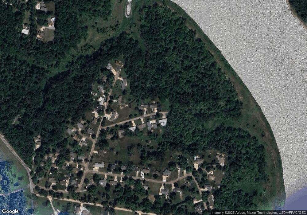
Map
Nearby Homes
- 3257 Windward St NE
- 3411 Willow Dr NE
- 3430 Twin Lake View Dr NE
- 3438 Twin Lake View Dr NE
- 3256 Meadow Ridge Rd NE
- 0 Lake Manor Rd NE
- 4.67 Acres M L Lake Manor Rd NE
- 37.30 Acres M/L Hendershot Rd NE
- 0 Hendershot Rd NE
- Lot 4 Zell-Mar Acres Subdivision
- Lot 5&6 Zell-Mar Acres Subdivision
- 1875 Silver Maple Trail
- 110 Willow Ln
- 2913 Wyatt Dr NE
- 1476 Marilyn Dr
- 2230 Valley Rd NE
- 1670 Cedar Springs Ct
- 1570 Timber Wolf Dr
- 3730 James Ln NE
- 355 Fox Run
- 3278 Whitesand Dr NE
- 3281 Whitesand Dr NE
- 3285 Whitesand Dr NE
- 3277 Whitesand Dr NE
- 1951 Surf Dr NE
- 3273 Whitesand Dr NE
- 1947 Surf Dr NE
- 1953 Surf Dr NE
- 3269 Whitesand Dr NE
- 1950 Surf Dr NE
- 1952 Surf Dr NE
- 3265 Whitesand Dr NE
- 1948 Surf Dr NE
- 1946 Surf Dr NE
- 1954 Surf Dr NE
- 1956 Surf Dr NE
- 3298 Coral Ave NE
- 3302 Coral Ave NE
- 3282 Coral Ave NE
- 3280 Coral Ave NE