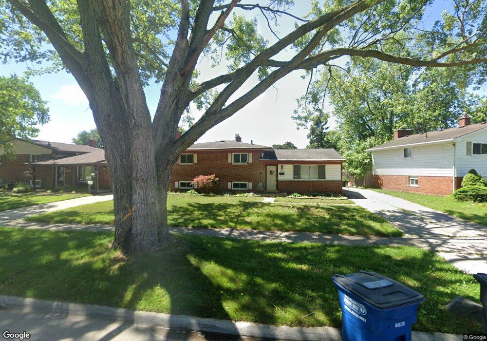
32837 Winona St Unit Bldg-Unit Westland, MI 48185
Estimated Value: $268,373 - $288,000
--
Bed
2
Baths
1,536
Sq Ft
$182/Sq Ft
Est. Value
About This Home
This home is located at 32837 Winona St Unit Bldg-Unit, Westland, MI 48185 and is currently estimated at $279,593, approximately $182 per square foot. 32837 Winona St Unit Bldg-Unit is a home located in Wayne County with nearby schools including Thomas A. Edison Elementary School, Marshall Upper Elementary School, and Adlai Stevenson Middle School.
Ownership History
Date
Name
Owned For
Owner Type
Purchase Details
Closed on
Jun 29, 2018
Sold by
Sulton Richard D
Bought by
Kall Anthony R and Campbll Bylie L
Current Estimated Value
Purchase Details
Closed on
Jun 29, 2010
Sold by
Tonti Michele A
Bought by
Sutton Richard D
Purchase Details
Closed on
Apr 2, 2008
Sold by
Kashou Raja and Kashou Hala G
Bought by
Deutsche Bank National Trust Co and Argent Securitized Inc Asset Backed Pass
Purchase Details
Closed on
Jan 15, 1997
Sold by
Bashaw James E and Bashaw Sally J
Bought by
Glass Robert T and Glass Kathleen A
Create a Home Valuation Report for This Property
The Home Valuation Report is an in-depth analysis detailing your home's value as well as a comparison with similar homes in the area
Home Values in the Area
Average Home Value in this Area
Purchase History
| Date | Buyer | Sale Price | Title Company |
|---|---|---|---|
| Kall Anthony R | $172,000 | Liberty Title | |
| Sutton Richard D | $114,200 | Minnesota Title Agency | |
| Deutsche Bank National Trust Co | $172,397 | None Available | |
| Glass Robert T | $126,000 | -- |
Source: Public Records
Tax History Compared to Growth
Tax History
| Year | Tax Paid | Tax Assessment Tax Assessment Total Assessment is a certain percentage of the fair market value that is determined by local assessors to be the total taxable value of land and additions on the property. | Land | Improvement |
|---|---|---|---|---|
| 2025 | $3,582 | $122,000 | $0 | $0 |
| 2024 | $3,582 | $112,000 | $0 | $0 |
| 2023 | $3,421 | $97,200 | $0 | $0 |
| 2022 | $3,976 | $87,200 | $0 | $0 |
| 2021 | $3,876 | $83,200 | $0 | $0 |
| 2020 | $3,834 | $77,300 | $0 | $0 |
| 2019 | $3,695 | $73,700 | $0 | $0 |
| 2018 | $1,969 | $66,800 | $0 | $0 |
| 2017 | $1,020 | $63,900 | $0 | $0 |
| 2016 | $2,662 | $63,600 | $0 | $0 |
| 2015 | $5,122 | $55,280 | $0 | $0 |
| 2013 | $4,962 | $51,750 | $0 | $0 |
| 2012 | $2,555 | $53,590 | $0 | $0 |
Source: Public Records
Map
Nearby Homes
- 33030 Cowan Rd
- 32297 Warren Rd
- 33652 Cowan Rd
- 32687 Merritt Dr
- 32451 Sandra Ln
- 6790 Emily Ct
- 32238 Cambridge St
- 8332 Berwick Dr
- 7814 Terri Dr
- 8433 Berwick Dr
- 31738 Rush St
- 31640 Ann Arbor Trail
- 8238 Terri Dr
- 6912 Moccasin St
- 32703 Anita Dr
- 7910 Nankin Mills St
- 32725 Joy Rd
- 32047 Anita Dr
- 31948 Dover St
- 34153 Warren Rd
- 32837 Winona St
- 32823 Winona St
- 32861 Winona St
- 32811 Winona St
- 32858 Comanche St
- 32870 Comanche St
- 32846 Comanche St
- 32836 Winona St
- 32801 Winona St
- 32824 Winona St
- 32862 Winona St Unit Bldg-Unit
- 32862 Winona St
- 32832 Comanche St
- 32761 Winona St
- 32800 Winona St
- 7627 N Venoy Rd
- 7641 N Venoy Rd
- 32820 Comanche St
- 32762 Winona St
- 7615 N Venoy Rd